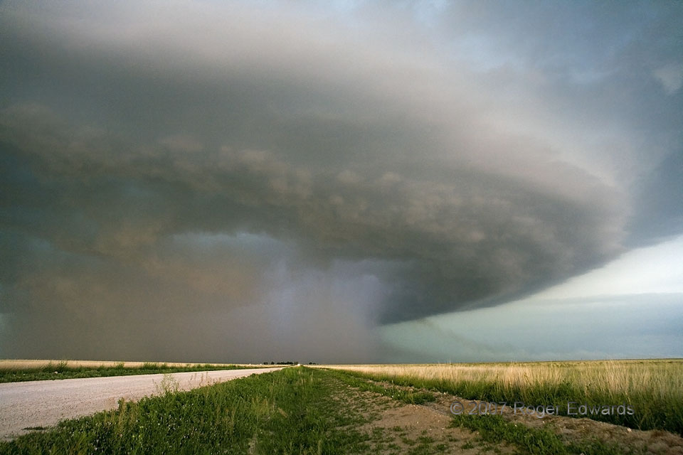
This supercell’s long-lasting cavalcade of changing colors reached its visual zenith just before sunset, as the late afternoon rays passed around and through its deep plume of rain and hail. A palette of pastels blended and merged amongst the dynamic airflows of the storm, churning together a multiflavored sorbet for the appreciative eyes. To add still more texture to this visual richness of hue and cloud structure, a smoke plume wafted into the updraft from a lightning-ignited fire at distant right. Such plumes make wonderful tracers for storm observers, providing a rare look at the normally transparent parcel trajectory of an updraft beneath cloud base. Despite the heavy-precipitation structure of this storm, it later would produce a rain-wrapped tornado near Guymon that we would see briefly and in poor light.
5 ESE Eva OK (31 May 7) Looking N
36.7649, -101.835
