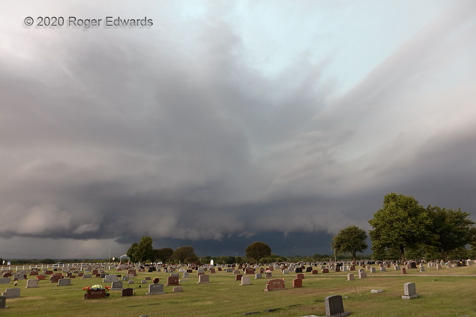
What are the odds? For the second time in three years, an uncommon August supercell in central Oklahoma was visible…from the same spot. This storm was bigger, wetter, messier, and more severe, surfing its own outflow, with the main mesocyclone behind the gust front, but still, no less photogenic in its own way. About the time of this photo, with a clue in the turquoise coloration of the midlevels, this storm begin casting a pall of severe hail down across southern Norman and Noble, some of the stones reaching significant size (2+ inches in diameter).
1 SE Noble OK (31 Aug 20) Looking WNW
35.1178, -97.3783
