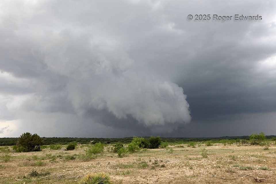
A young supercell, its mesocyclone finally getting well-organized, sported a nice, two-tiered wall cloud with scuddy, shelfy characteristics on the near front side. The heart of the low-level mesocyclone was at distant rear, beyond the limestone ridge. Between the choppy terrain and common presence of scrubby mesquite and cedar trees 10 to 20 feet high, lowest-layer storm viewing on the Edwards Plateau must be opportunistic, somewhat happenstance, and not taken for granted at all. Ideally the observer wouldn’t want to be southwest of the mesocyclone, due to the typical poor contrast and wrapping hook precip across the field of view. Fortunately, in this instance, some sight under the wall cloud still was possible, but just for a couple more minutes, before the storm entered a very large road void. By the time it emerged, it still was a supercell, but had gotten more precip-laden and outflow-dominant in character.
11 SE Christoval TX (26 May 25) Looking NE
31.0977, -100.3569