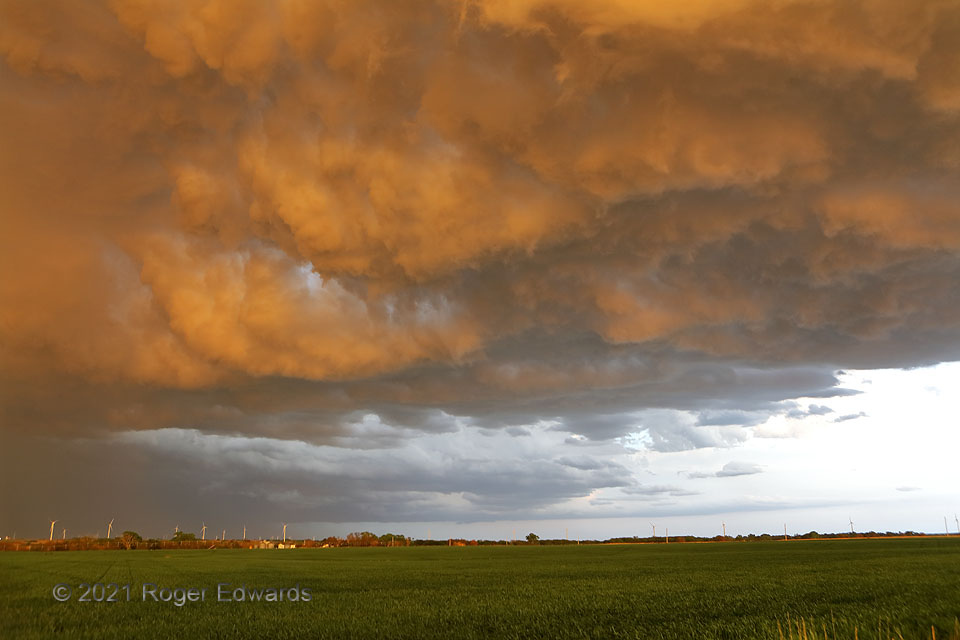
Outflow layered upon outflow as a newer, elevated storm (with core at left) developed over the cold pool left behind a messy supercell, whose flanking base can be see above the horizon. For just a minute or two, as the last of the sun’s daily rays streamed through an unseen western cloud break, the turbulent cloud base of the nearer storm caught the light and used it to texture the eastern sky deeply. Still more deep convection would develop overhead and just to the west, ultimately evolving into a profusely electrified supercell of its own west of Salina.
5 ENE Wilson KS (8 May 21) Looking ESE
38.8451, -98.393
