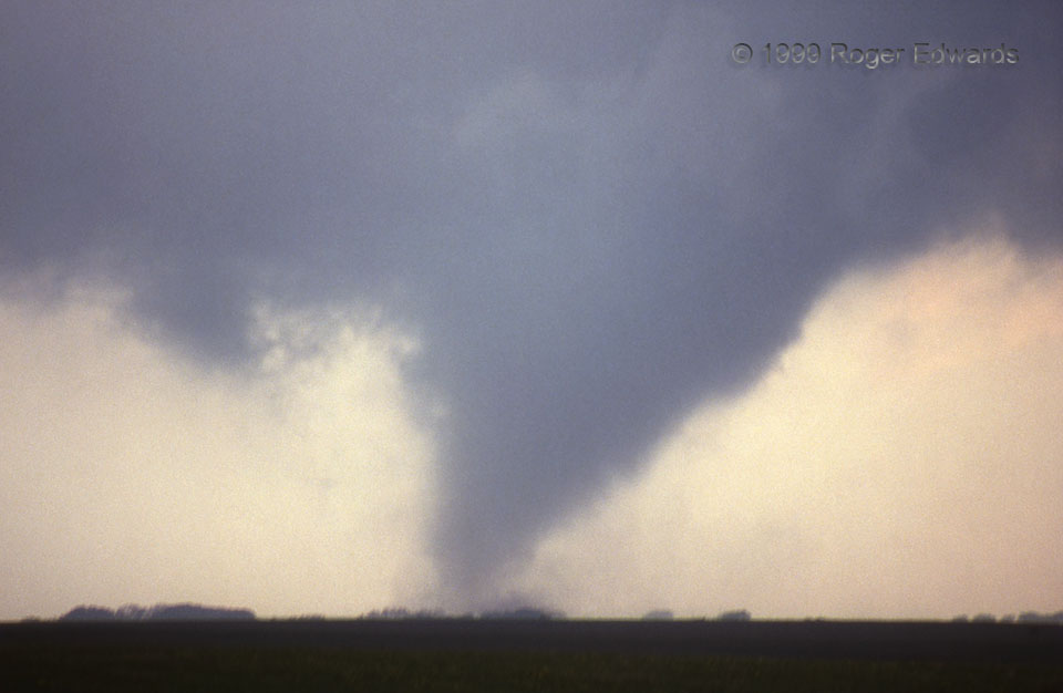
“Cones” of this sort crisscross Kansas often in most springs. That included the year of this slide. The parent supercell formed in a narrow sliver of favorable instability and shear tucked between a dryline, warm front and outflow area, lasted just long enough to produce this tornado in the warm-frontal zone, then…poof, gone: tornado and supercell alike. Had there been a dual-polarization radar scanning this storm at the time, it probably would have shown what we severe-storms forecasters now often call a “one-and-done TDS”—a solitary tornadic debris signature, with no others for many hours and hundreds of miles around.
5 SSW Stockton KS (15 May 99) Looking WNW
39.3719, -99.302
