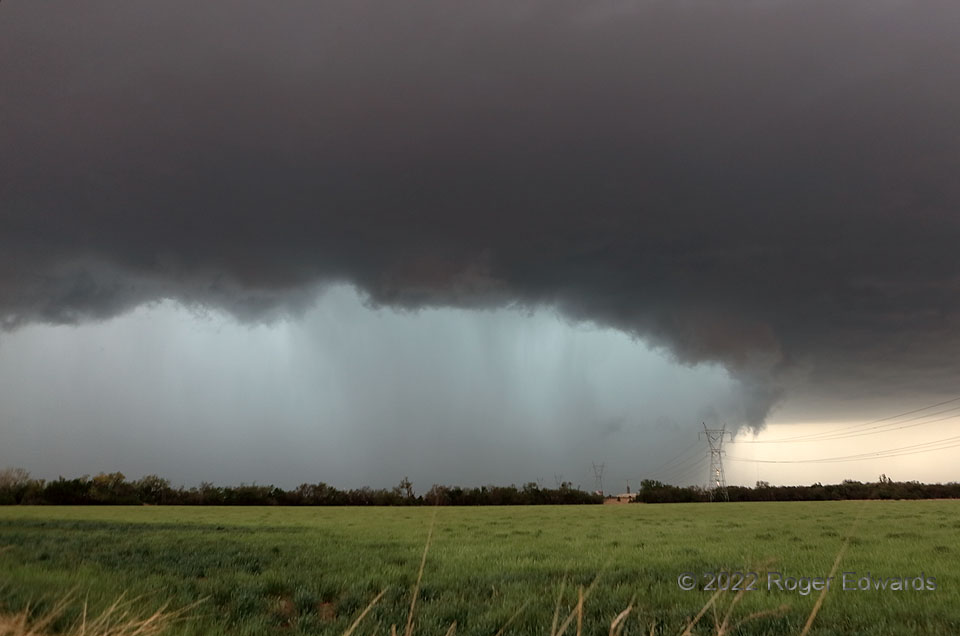
Heavy-precipitation (HP) supercells can take many forms (most of them rather menacing in appearance): behind big arcus clouds, drum-shaped, deep and dense with great structure, spiraling in form with wrapping tail and wall clouds, with an embedded little tornado visible, with an embedded big tornado visible, with a tornado playing hide and seek and sometimes a peek, pastel-festooned in the sunset hour, scuddy and plow-like, intensely dark messes, turquoise-cored, even triangular! This somewhat drum-shaped storm joined the long parade of HPs I have witnessed, here shown shortly after producing a tornado somewhere on the north side (buried in rain behind those poles) that I could not see. I waved the bullfighting towel at this one and let it race by to the north, not willing to play tag with the core and its damaging hail at stoplights across the south side of the OKC metro area.
5 WSW Moore OK (23 Apr 22) Looking WNW
35.3197, -97.5752
