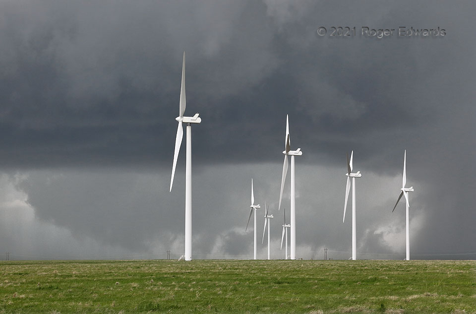
Getting ever more concerned that something tornadic was happening in the old, bent-back occlusion, I pulled out the zoom camera and started looking through its viewfinder, shooting, looking at the LCD, and looking directly with eyeballs. All this effort and attention yielded strong suspicion, but never enough confidence and evidence to say yes, that’s a tornado. Some storms are just too chaotic and messy for certitude. The wall cloud from the previous image expanded and moved northward (rightward) nearly in step with the supercell as a whole, and got more scuddy. It was a roiling mass of scud, rain, and maybe a brief vortex or two, with movements both along and against the broader rotation of the mesocyclone. A sinuous filament just to the bottom left of the nearest turbine (and behind the left-middle utility pole) had formed to the turbine’s right, whipped rapidly leftward while contorting, then dissipated, all in about three seconds. That probably was a brief, small vortex, but again, I could not make out its rotation for certain. Meanwhile, whither that ragged cone next to the right utility pole? That was a continuation of the lowering apparently to ground level from the previous shot; however, establishing rotation was difficult due to distance. Remember also that the intervening ground elevation was just a little higher than eye level. In between the two most suspicious lowerings, other low, scuddy features moved this way and that. Soon, the entire area would break apart and become obscured by rain, while the supercell itself kept trucking north-northeastward. I had to scoot north, then east out of Last Chance, before the storm would cut off the only north option in the area. [Back to Part 1]
16 NNE Limon CO (23 May 21) Looking SW
39.5127, -103.6218
