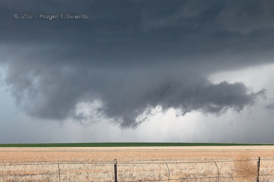
A big, messy, north Texas-style high-precip (HP) supercell on the Colorado High Plains had come close to producing (and may have) a tornado on an occasion or two, but just couldn’t quite organize enough yet. The young wall cloud, in the storm’s notch region, was intensely convergent, with very rapid rising motion in the scuddy lowering at center. I thought it could produce an unambiguous tornado any second, but…no such thing with contrast this good. As this mesocyclone was moving rapidly toward a road crossing just a mile or two to my west, with a lot of traffic streaming out of its way, I needed to get back on to road to get another viewing spot for an unexpected tornado in the tail-cloud region.
4 E Last Chance CO (23 May 21) Looking SW
39.7396, -103.5276
