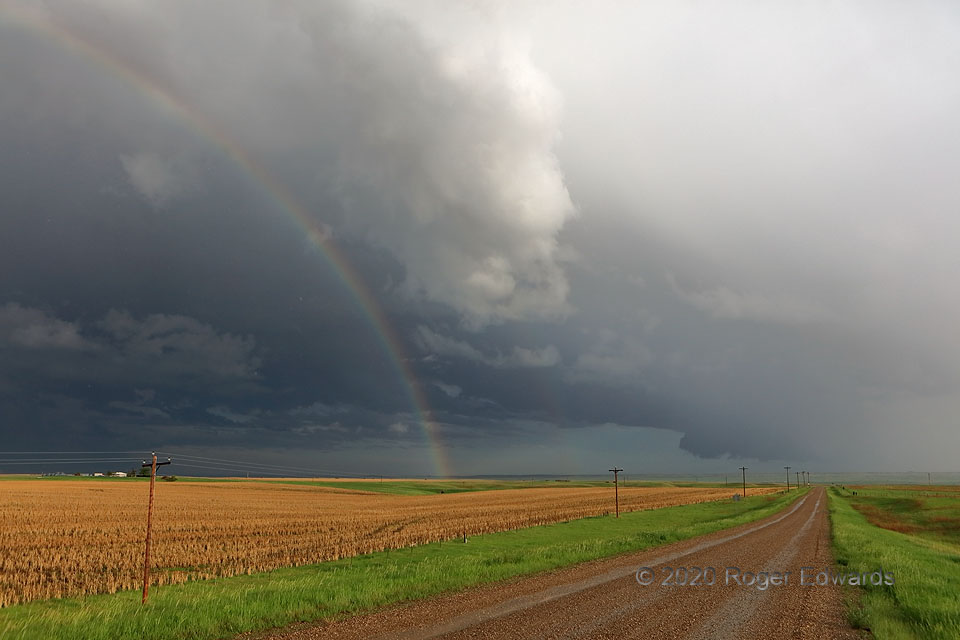
Here’s an unconventional view of most of a supercell’s updraft base and wall cloud (down the road): from the outer northwest part of the storm, just inside its core. This strange vantage was made possible by an unusually thin, translucent forward-flank core, likely the result of this storm’s being weakened (but not quite killed) after a collision with a large gob of outflow from an unrelated left-mover. I first stopped to observe this storm from the northeast several minutes before, after that outflow ingestion was well underway. With no timely road options in its Badlands path, I let it go, and successfully stayed here while watching it move fairly quickly east-southeastward. Light to moderate rain and small hail fell; and a few of those hailstones are visible in the air at this scale (dozens show up in the zoomed, full-resolution raw shot). The sunlit foreground, rainbow, and secondary faint rainbow, served to accentuate this image’s uniqueness.
6 E New Underwood SD (4 Jun 20) Looking SE
44.1027, -102.7091
