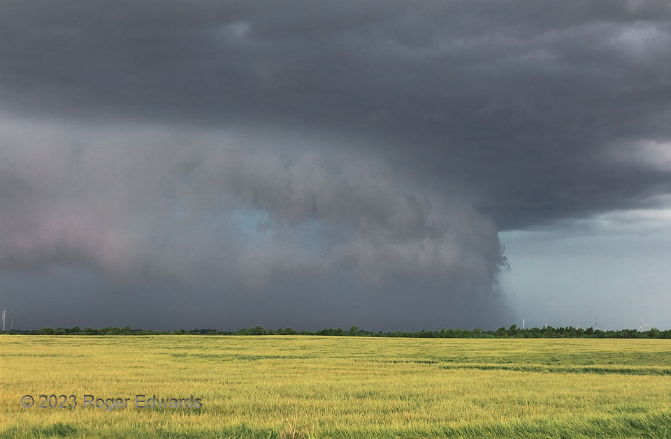
Northward-directed, rear-flank downdraft surge in a cyclonic supercell? Yes, when the supercell is moving northward, as was this intense storm southwest of Oklahoma City (here seen several minutes before in a wide-angle view from the same location). It reminded me a lot of a “Stormzilla” scene from the previous year in southern Kansas, also with a large RFD surge, but in a severe storm moving east-northeast instead. The ambient flow regimes were different, but when pivoted to match storm motion, both had enough shear for supercells, and similar weaknesses in the vertical wind profile that favored heavy-precip structures.
1 E Tuttle OK (13 May 23) Looking SW
35.2904, -97.7843
