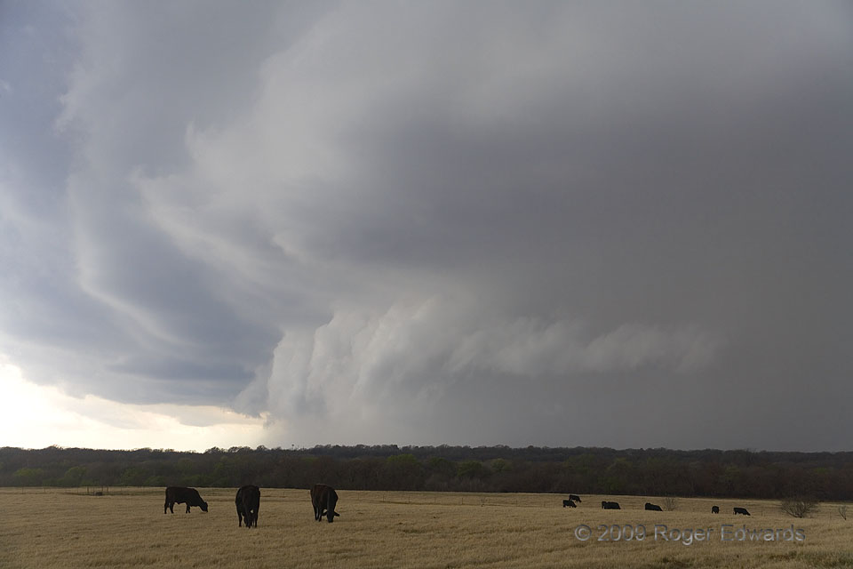
After the last photo, the same storm moved off to my NE and produced a downburst. I then maneuvered the tortuous road around the E side of Lake Arrowhead, and began to penetrate what had become, once again, a thin and translucent looking rain area. In the mere 45–55 minutes it took me relocate from rear to front of the storm, it changed character and structure dramatically! A trip through that core revealed not just rain, but heavy rain, with 1-3/8 inch hailstones measured by me. Hail up to 2 inches across was estimated (not measured) by other spotters nearby. Once back into the inflow region, the former see-through underside of the storm obviously had metamorphosed into the breed of dark, dense, ominous looking heavy-precipitation supercell for which North Texas is well known among severe-storm enthusiasts. These beasts churn along, mercilessly ravaging the countryside (and sometimes the cities) with intense wind, large hail and flash flooding rains, imperiling any spotter or chaser who ventures into the mysterious murk. After experiencing several as a kid, and many more years of tangling with them on the road, I began to nickname such menacing supercells (especially in north Texas) as “stormzillas”, or alternatively, M.U.N. (Mean, Ugly and Nasty). The dumb cattle had no clue of the torment they soon would endure.
3 W Nocona TX (12 Apr 9) Looking WSW
33.7859, -97.7801
