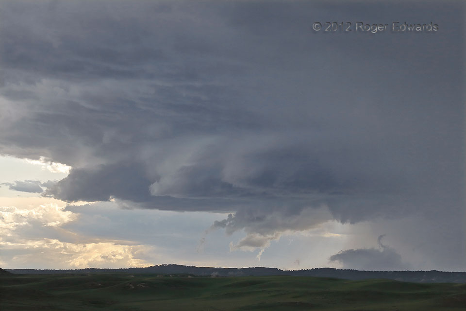
The “boundary supercell” west of Broadus kicked off the first of two straight days of harrowing storm intercepts, each featuring a fast-moving supercell in the same area, ahead of which legally fast pacing was possible but difficult. After growing in size, and growing in percentage of the camera view filled thanks to employing a long zoom lens, the storm got much-better organized. A suspicious “squiggly” cloud formation was rising in wavy fashion, not fully attached to the updraft base above. It turned out to be merely a funny-shaped string of scud along the interface of low-level mesocyclonic inflow with the colder air from the proximal forward-flank precip area at right.
5 S Olive MT (11 Jun 22) Looking WSW
45.4744, -105.5387
