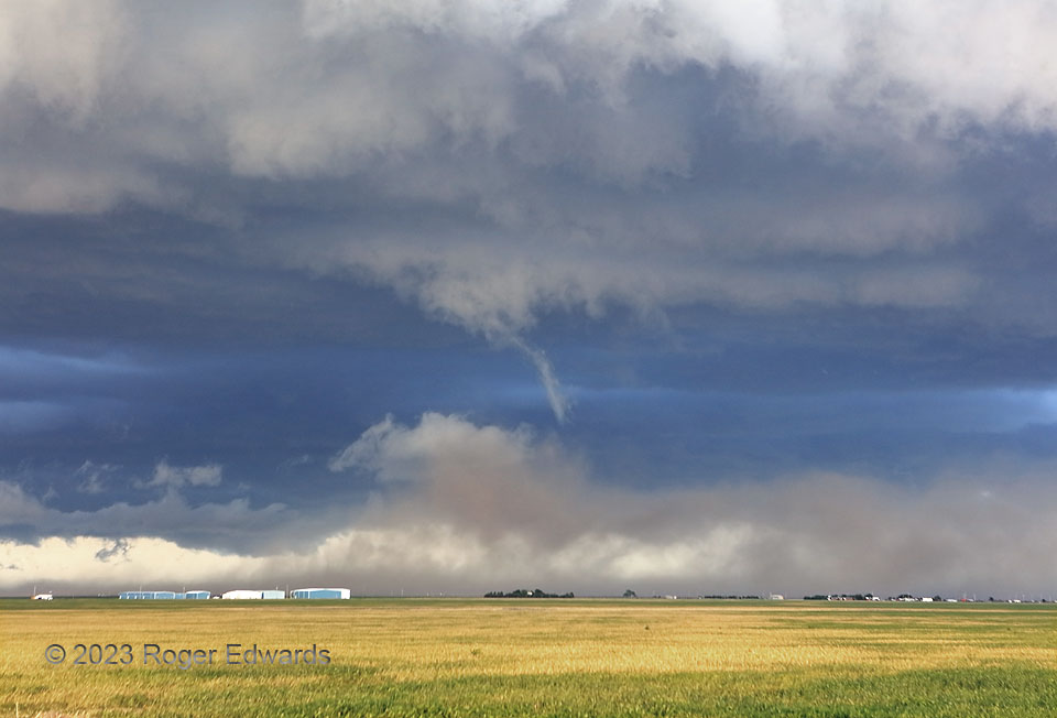
The ragged, skinny funnel cloud at the center of the photo was rotating, and located less than a mile from the edge of a regional population center, but I had zero inclination to report it as a potential tornado. That’s because it presented no threat. The young supercell formed along surging outflow, in which we stood, and its updraft already was being undercut for several minutes. The dust beneath and in front of the funnel wasn’t rotating, but instead, surging southward (left to right), and the updraft already had entrained dust from shallower, less-stable outflow a few minutes before. The funnel itself would last less than 30 seconds. Townsfolk were spared an entirely unnecessary warning by our self-restraint in evaluating the storm-scale morphology on the spot, and correctly assessing the lack of danger at ground level that this transient funnel cloud posed.
1 N Panhandle TX (13 Jun 23) Looking ESE
35.3685, -101.3818
