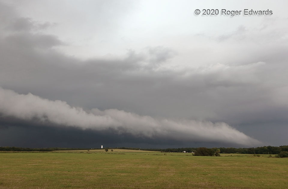
Although this wouldn’t seem so, the Noble supercell of 2020 still was rotating, at least in midlevels, and would redevelop its low-level mesocyclone again several miles to the east-southeast. In the meantime, however, it couldn’t get out of the way of its own outflow—here signified above the surface by this shelf cloud. The actual surface gust front usually hits before the shelf edge arrives, since the visible cloud simply represents the level that the air already lifted by the cooler, sloped air mass starts to condense.
2 N Lexington OK (31 Aug 20) Looking NE
35.044, -98.3388
