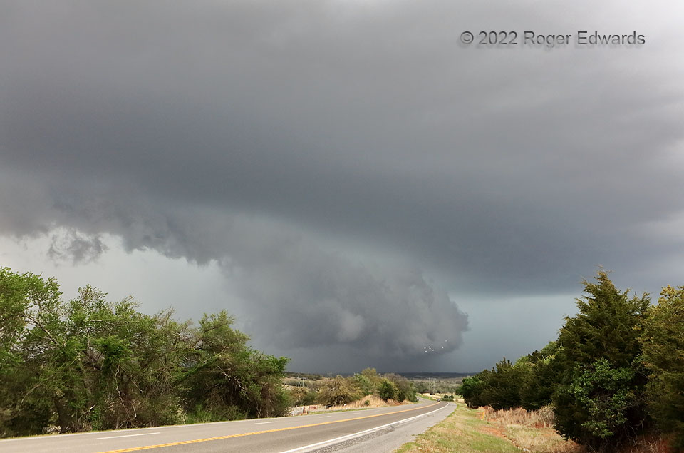
Here was a peculiar combination of a truly hybrid shelf and wall cloud that couldn’t decide which it wanted to be. A tremendous precipitation surge had descended through the back side of the supercell, then started to wrap through the southwest side of the low-level mesocyclone, accelerating the storm but not completely undercutting the original low-level circulation, whose cloud material still slowly rotated at distant lower middle. The mesocyclone was surfing its own rear-flank outflow pool, but not too much to choke off its own surface-based inflow. A flock of birds—seen in front of the shelf’s apex—wisely evacuated the area. This storm took on HP (heavy-precipitation) character and spun up a brief, rain-wrapped tornado near Tuttle that was hidden from my view by a very dense “bear’s cage”.
4 S Gracemont OK (23 Apr 22) Looking N
35.135, -98.2506
