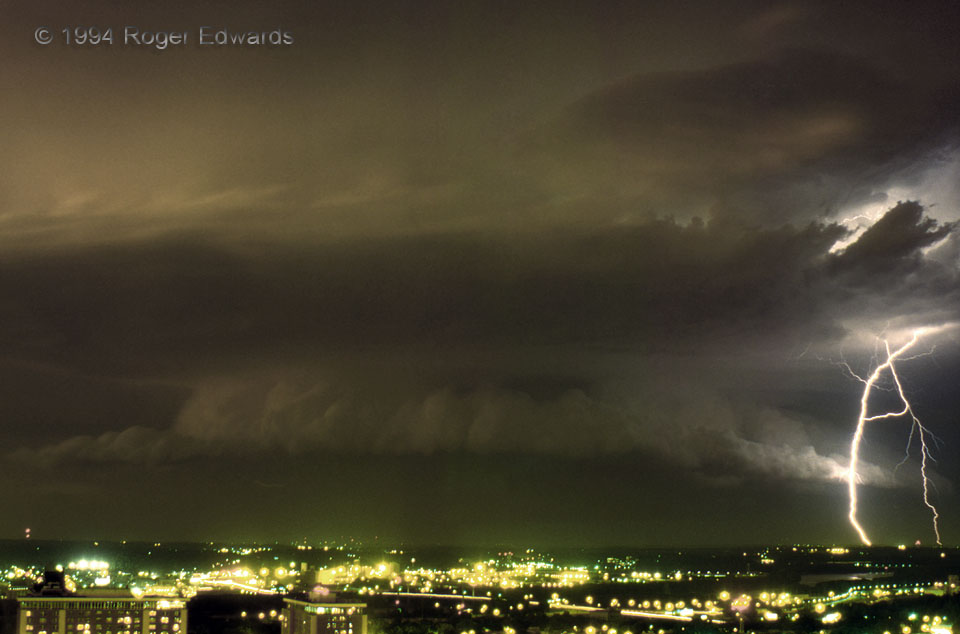
For over two decades, I did not scan this slide, thanks to a struggle with perfectionism and the presence of some reflection artifacts (against the side of the window through which I was shooting) that were too much trouble to attempt to ameliorate. Yet here it is regardless. Despite those flaws, this image tells an important and beautiful story of a formerly tornadic supercell, spitting lightning on occasion in spite of slow weakening, while drifting east-southeastward across the northern fringes of the Kansas City metro area. The vantage was the 17th floor of the downtown Federal Building, former home of the National Severe Storms Forecast Center.
Kansas City MO (25 Jun 94) Looking NNE
39.0996, -94.5789
