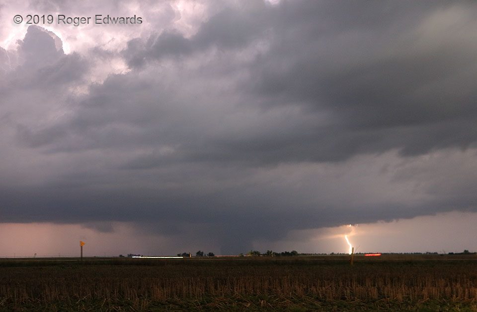
Following the unseen dissipation stage of the Minneola “Kansas Sunset” tornado, this larger vortex formed northeast of Ford and trucked along deeper into the dark of night, with a maximum surveyed width of 875 yards. Fortunately it missed population centers. Despite the late hour, this photo’s brightness can be attributed to high ISO offsetting short exposure time, with lightning as an illumination. [I offer more specifics in an earlier shot of this tornado.] In a rare feat for me, I managed to snag a cloud-to-ground strike and tornado in the same shot. That flash lit up the scene to the right and (indirectly) behind the tornado, allowing it to be seen in silhouetted form here, after separate, in-cloud flashes illuminated ground and sky. The white and red streaks just in front of the horizon are vehicle lights along state highway 34.
1 NW Bucklin KS (17 May 19) Looking N
37.5566, -99.647