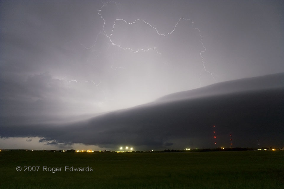
Strobing with dazzling frequency, electrical strands and filaments flashed atop a supercell’s rear-flank gust front, both silhouetting and illuminating its laminar shelf cloud. I took several shots of such discharges in just a few minutes, and could have captured many more but for an area of spotting priority off to the right. The tornado-warned storm supposedly produced one about 10 minutes later, 5 miles N of town and 3 miles N of me. At that time I stared straight in that direction, seeing nothing in the frequent lightning but a scuddy, outflow-dominant mess of a mesocyclone that looked quite elevated above the rain-cooled air. That’s fine, because I already had seen a pleasant little tornado from a different supercell earlier in the day. As I was shooting, the ceaseless wailing of both pole-mounted and police sirens out of nearby Hays rode the southeasterly breeze, cutting through an eerie silence otherwise broken only by the low roll of continuous thunder well aloft. This lightning actually flickered beneath an anvil from another supercell just to the southwest. Both storms anchored a broken line of severe convection that produced hail measured at 2.25 inches, gusts estimated at 80 mph and flooding rains, all within a six-mile radius of this location.
2 NNW Hays KS (22 May 7) Looking NW
38.9072, -99.336
