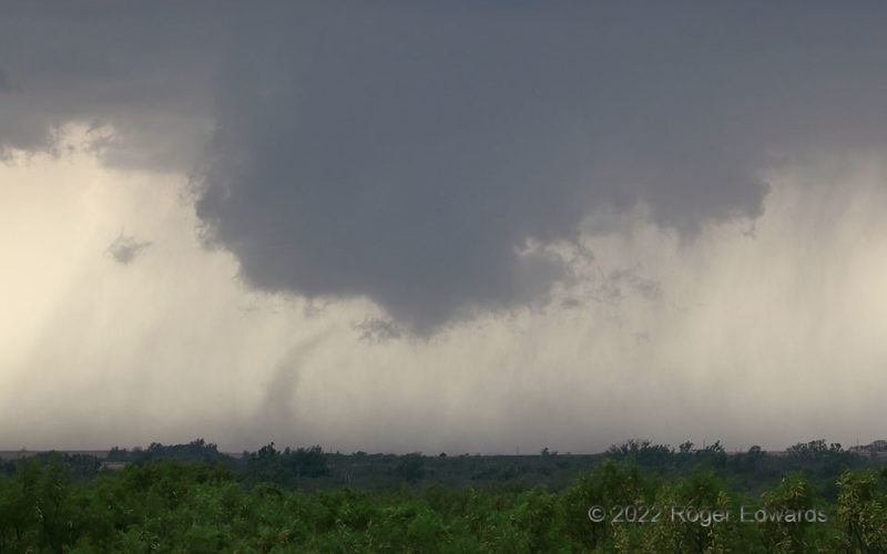
The "Dumont" tornado seldom, if ever, had a condensation funnel, but it lasted ten minutes while gradually lofting dust toward the rotating, scuddy cloud base above. I was unsurprised and glad to learn that this vortex produced no known damage, in a sparsely populated area of large ranches and few structures. Despite dozens of chases and even more supercells seen in these parts, the vast area … [Read more...]
Prairie Fire Response
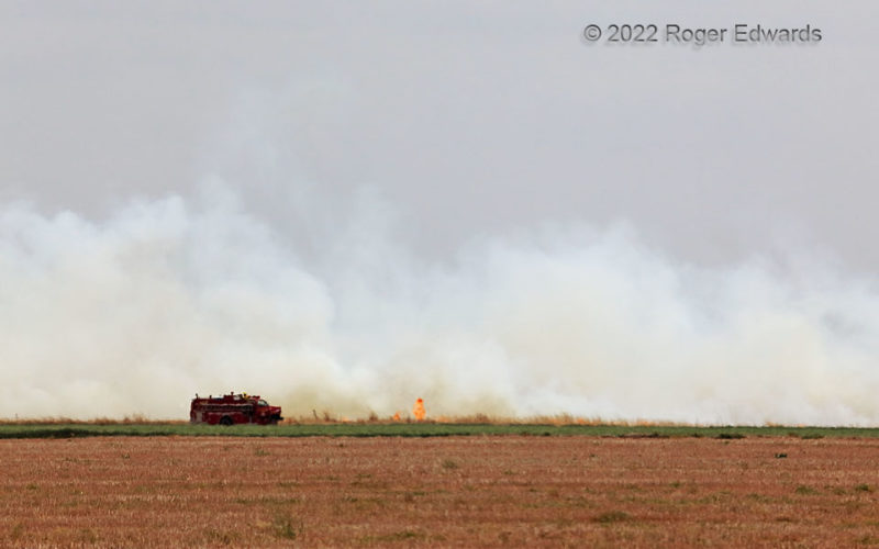
After midday dryline passage, a fire began a couple miles to the south-southwest, its embers blowing into a swath of dry, tall grass from the previous growing season. Fires in the southern Great Plains can race out to tens or hundreds of thousands of acres within just a few hours under such dry and windy circumstances, in a severe drought, with crispy fine fuels. Fortunately, two factors saved … [Read more...]
Twisted Blasts in the Blue Hour
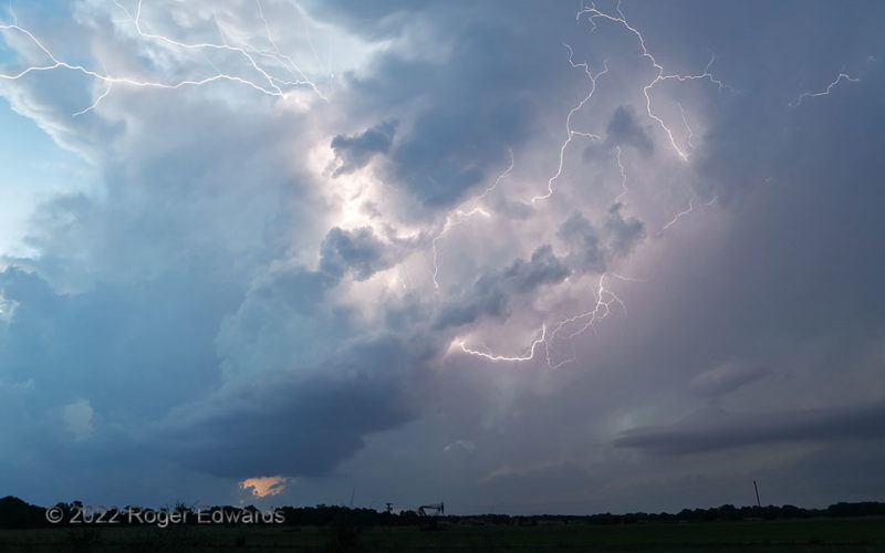
After the "slender sunset supercell" tattooed itself onto my memory for life, the storm very slowly weakened into the deepening twilight blue, while another developed on its outflow boundary to the west. Nonetheless, when it came to generating electricity, the little storm that could, most certainly did. I lost count of how much lightning it flung every which way from its middle to upper … [Read more...]
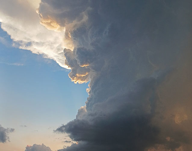
Cloud with No Name
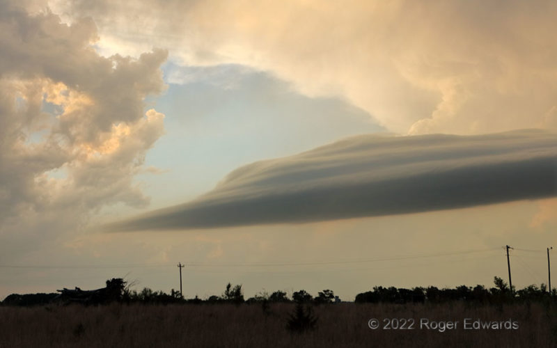
Convectively caused but not convectively structured, laminar yet not entirely lenticular, detached yet dependent, this layered cloud band reminded me a great deal of a tail cloud, but wasn't. Later, it would become part of a tail feature connected the supercell here unseen at left (a storm definitely subject to attention and amazement!). This feature's structure and basic formative process on … [Read more...]
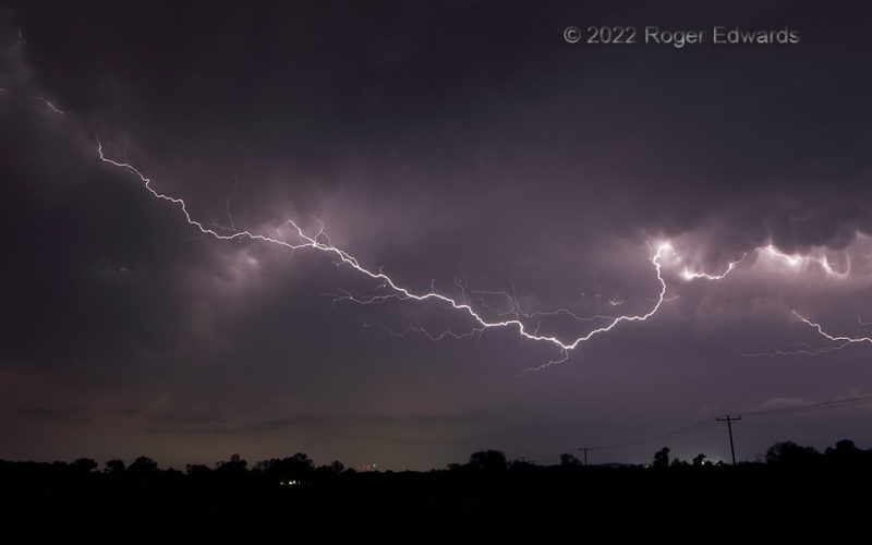
Under-Anvil Crawler
This was one of the longest single lightning channels I've ever seen to extend outside cloud, stretching for tens of miles across the sky, taking a couple seconds to complete its circuit, and reaching a substantial fraction of the distance groundward along the way. The massive and beautiful spark shot out beneath and between two well-separated areas of a severe squall line's trailing … [Read more...]
Slender Sunset Supercell
Spiraling skyward seemingly right off the sun that helped to start it, this sculpted and slim supercell thoroughly captivated me as it eased across the nearby Kansas line into Oklahoma. Its twisting fluid form evoked memories of a similar, thicker storm 19 years before, evolving with the colors of the sunset process to make a differing scene by the minute. This storm, and a successor supercell … [Read more...]
- « Previous Page
- 1
- …
- 94
- 95
- 96
- 97
- 98
- …
- 413
- Next Page »