Merging of a newer storm's updraft region, at left, with a longstanding one, at right, started while we were nearly under the latter, so we decided to bail southeast out of the projected collision notch for some wide structure views, figuring it could be a forced-ascent festival of striated cloud forms. That, it was—with bands across, right, left, and above, sweeping across the sky in … [Read more...]
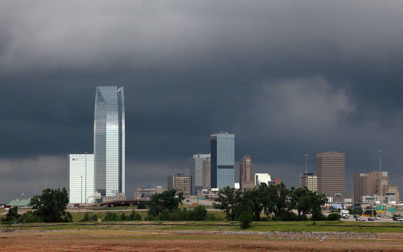
Downtown Storm Incoming, OKC
Unplanned more than a few minutes in advance, therefore greatly appreciated, this remarkable scene greeted me on the front side of a band of thunderstorms rolling into Oklahoma City. I had been returning from a two-day chase trip to southeastern Kansas, just trying to beat the rain home on day three. Rounding the corner of I-35 and I-40 east of downtown OKC, I gazed straight into some of my … [Read more...]
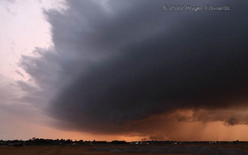
Supercellular Hues
Late sunset light filtered differently through a dense rear-flank core, accessory arcus, nearly laminar updraft cloud, and anvil material aloft, offering a naturally painted storm scene unique to a few minutes of this time of evening. Even a messy supercell like this can offer moments of beauty and appreciation—albeit brief and measured, when the storm is moving quickly toward the … [Read more...]
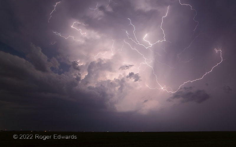
Flashes Flung Far
Tendrils of cloud-to-cloud, in-cloud and cloud-to-air lightning flew every which way around the upper reaches of an evening supercell, whose main updraft column tilts from lower left to middle. Had this storm been tornadic, I might have regretted my choice to back off for enough distance to capture more of the phenomenal light show. Maybe! Fortunately, it was not, and the supercell it provided … [Read more...]
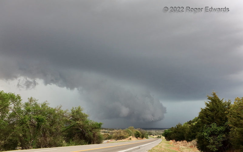
Oncoming HP Load
Heavy-precipitation (HP) supercells can take many forms (most of them rather menacing in appearance): behind big arcus clouds, drum-shaped, deep and dense with great structure, spiraling in form with wrapping tail and wall clouds, with an embedded little tornado visible, with an embedded big tornado visible, with a tornado playing hide and seek and sometimes a peek, pastel-festooned in the sunset … [Read more...]
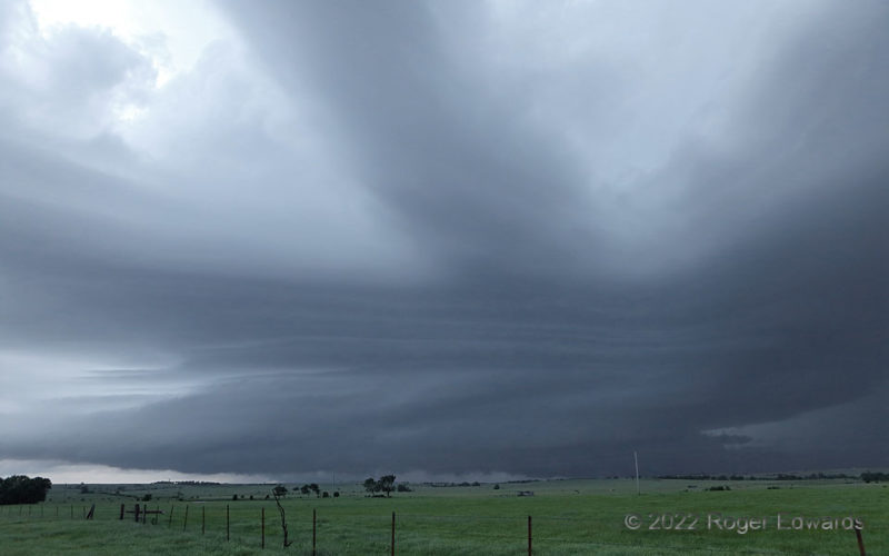
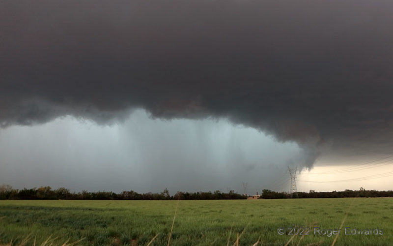
No Grace for Gracemont
Here was a peculiar combination of a truly hybrid shelf and wall cloud that couldn't decide which it wanted to be. A tremendous precipitation surge had descended through the back side of the supercell, then started to wrap through the southwest side of the low-level mesocyclone, accelerating the storm but not completely undercutting the original low-level circulation, whose cloud material still … [Read more...]
- « Previous Page
- 1
- …
- 93
- 94
- 95
- 96
- 97
- …
- 413
- Next Page »