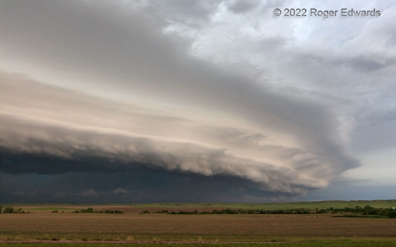
[Part 3 of 3] This had all the signs of a spectacular but dangerous storm complex, with deeply embedded and large mesocyclone, flash flooding, severe wind, and hail, of the sort much better appreciated from the outside than within. This multiply tiered arcus, front-lit by indirect and warming sunlight tones from the east, posed nicely for the camera before roaring off to the east (right) and … [Read more...]
Cottonwood Shelf: Middle View
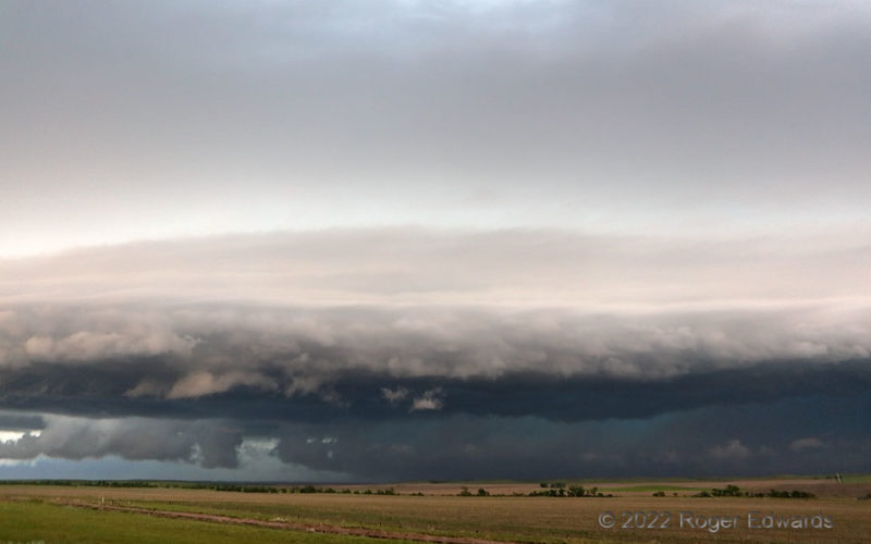
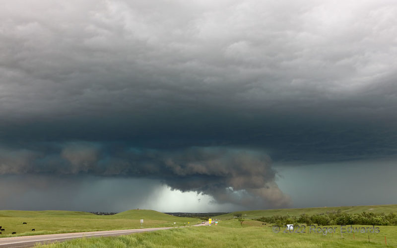
[Part 2 of 3] Seen head-on, the Cottonwood, SD shelf cloud looked like a strange sandwich of light, dark, and shades of beige and slate, with a hint of turquoise in the core dappled in for good measure. I've witnessed this lighting before, but seldom so vivid. As often is the case with late-afternoon, front-lit outflow features, I was wishing I had more time to stay there and appreciate the … [Read more...]
Cottonwood Shelf: South View
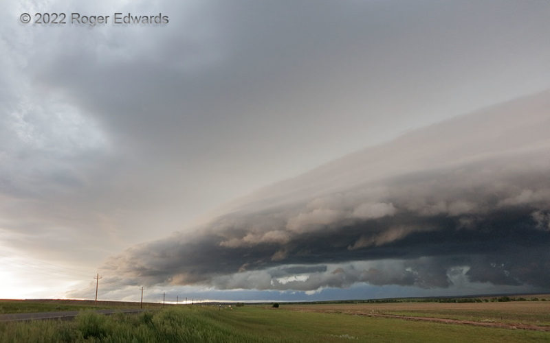
[Part 1 of 3] The merger of an outflow-dominant, large supercell with another, much younger, also large supercell resulted in a fiercely severe, rotating complex of thunderstorms. That cluster briefly offered a wild outflow shelf scene in the golden hour before sunset, before I bailed south to shoot twilight lightning on its backside. This sharp arcus denoted the southern rim of the outflow … [Read more...]
Upward Vertical Motion, Two Ways
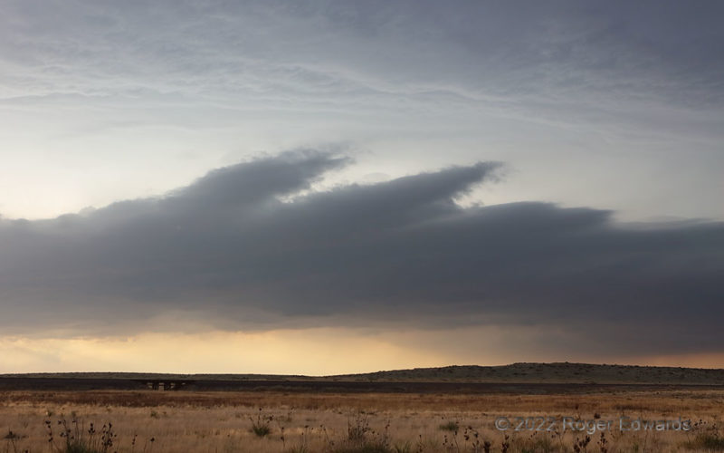
One may be forgiven for mistaking the lower cloud base for that of a thunderstorm, if not for the detachment of the feature from the second deck above, which really was a storm base (with unseen deep towers aloft). This bizarre and transient formation developed beneath a swath of rapidly growing elevated convection that soon would become surface-based , as its updrafts accessed a diurnally heated … [Read more...]
Blasting Belle Fourche
This deep, dark, fast-moving supercell had been going for over 150 miles, three hours and three states, but was cranking up to its most intense levels yet. Channels of rain-cooled air from the forward flank can be seen readily at right, as cloud tracers rising off the ground at an angle, and into the back of the wall cloud, which was broadly but obviously rotating. Unfortunate residents of … [Read more...]
Golden Great Plains
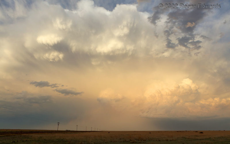
An unexpected blessing of a sunset scene continued to deepen over the High Plains, offering a protracted enchantment in the form of wondrous color and texture filling the eastern sky. With shadowy clouds in the west, the storm's reflections illuminated the landscape enough that it came out in the photograph, no filter needed. Large knuckle clouds (upper middle) continued to roll across and down … [Read more...]
- « Previous Page
- 1
- …
- 86
- 87
- 88
- 89
- 90
- …
- 413
- Next Page »
