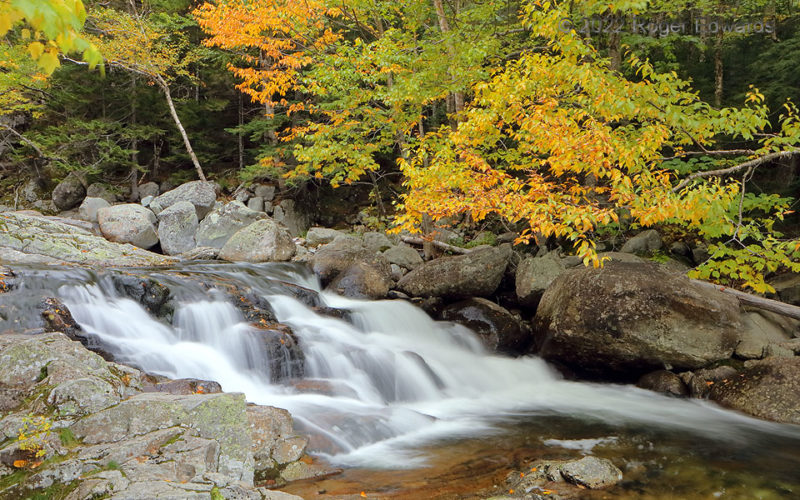
Not to be confused with the nearby "Crystal Falls", one of several in the Crystal Cascades series takes the Ellis River downhill over rocks from high upon New Hampshire's famed Mount Washington. A warm and only gently breezy fall day, under shadow from building convective clouds, was the ideal time to visit and photograph this little marvel. Far more time was spent in silent solitude, … [Read more...]
Sundown Scudscape
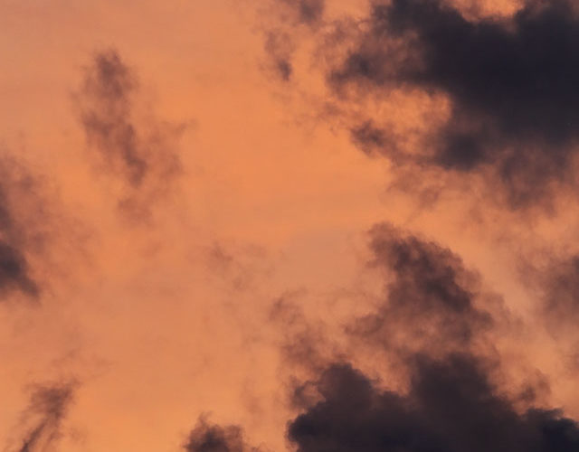
Fitting for the approaching Halloween time, the atmosphere painted a black and orange palette with sunset-reflecting cirrostratus silhouetting fractocumulus. Fluidly evolutionary, simple yet intricately detailed, flowing fast and free through one fleeting moment frozen in time, no alike scene ever can be photographed again. Norman OK (2 Sep 22) Looking WNW … [Read more...]
Altostratus Undulatus at Sunrise
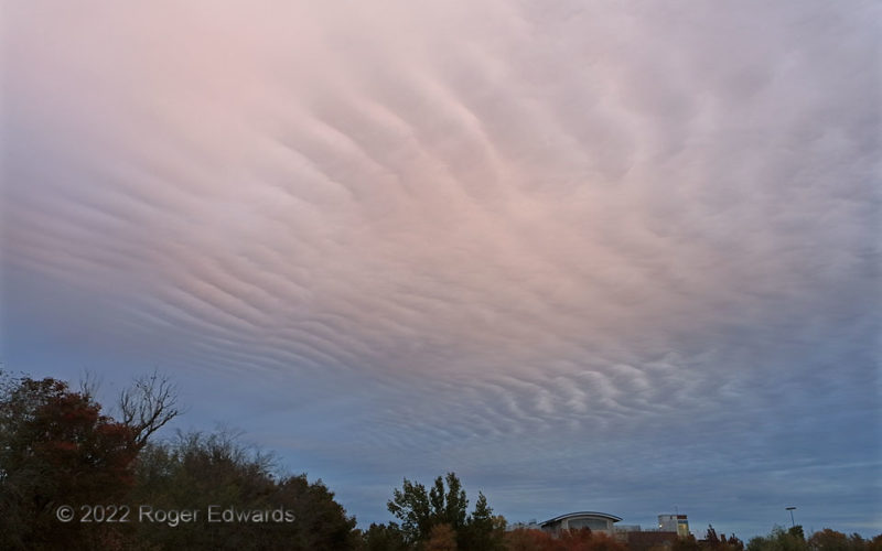
This is among the most spectacular and widespread examples of pure altostratus undulatus I've seen—not just because it passed through some filtered sunrise pinks from unseen high clouds above, but because it covered a large percentage of the western and northern sky, as seen from the National Weather Center's west lawn. Based on the Norman balloon sounding, launched just an hour earlier, these … [Read more...]
Beaver Brook Falls in Fall
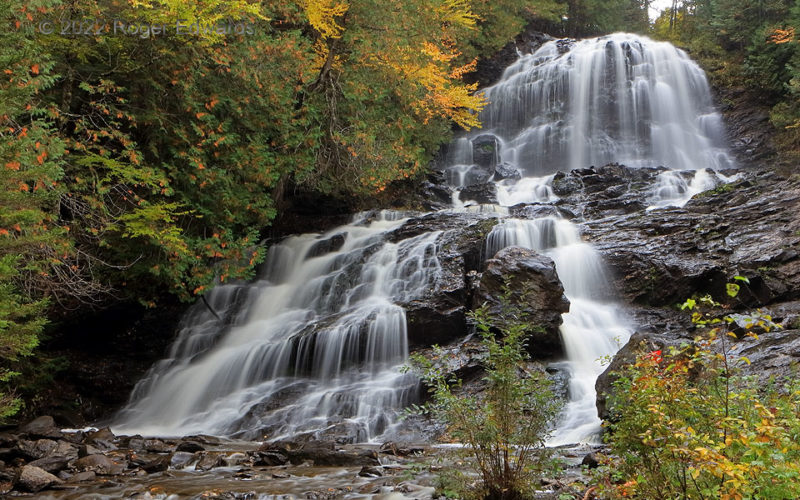
Few experiences are more serenely beautiful than a tall, complex waterfall amid forested fall colors. Readily accessible Beaver Brook Falls, in northern New Hampshire a few miles from the Canadian border, offered a pleasant place to picnic, perform photography in between rain showers, and immerse with sight, sound and aroma in the fresh, cool air of early autumn. 2 NE Colebrook NH (28 Sep 22) … [Read more...]
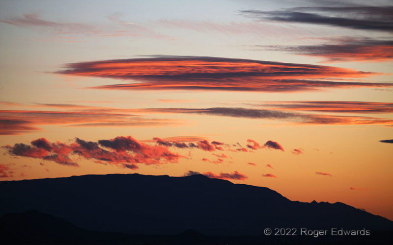
Sandias Sundown from Santa Fe
Most of the sunset sky was rather mundane for most of the sunset cycle—except for a small southwestern sector centered over the Sandias near Albuquerque, and best reachable with a deep zoom. There, orographically forced altocumulus clouds and mountain-wave lenticulars caught deep orange rays peeking past an even more-distant western cloud deck (unseen). Santa Fe NM (26 Oct 22) Looking … [Read more...]
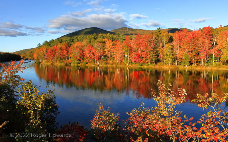
Autumn Reflective
From the summits of the White Mountains down to the placid waters of the Androscoggin River, fall foliage just had begun erupting in its annual gaudiness, freshly brilliant carmine, yellow, and orange intermingling with steadfast summer green, and all accentuated in the late-afternoon “golden hour”. This was New England beauty at its best, and much of why we came—an experience in which to … [Read more...]
- « Previous Page
- 1
- …
- 83
- 84
- 85
- 86
- 87
- …
- 413
- Next Page »
