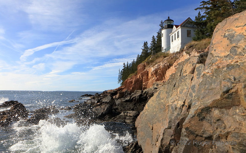
Marking the entrance to the fishing port of Bass Harbor, on Mount Desert Island, the Bass Harbor Head Light has been functional since 1858. Technology has changed greatly, but the new LED lights flash the same brilliant red pattern through the same fourth-order Fresnel Lens installed in 1902, 120 years before this photograph, when the light came from red-glass-covered oil lamp. This facility … [Read more...]
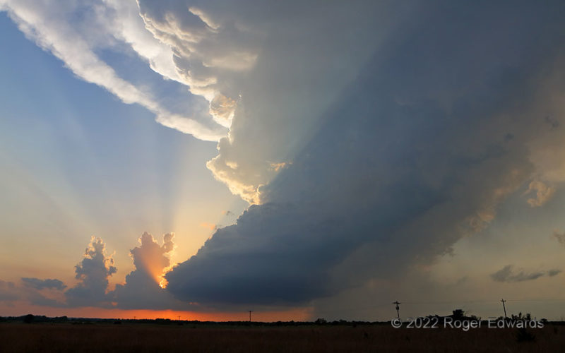
Super (Cell) Crepusculars
Sunsets on the Plains best amaze me with a towering supercell spinning through the warming light, casting crepusculars and their intervening shadows. A "ring of Saturn" anvil rim only made the scene more stunning. Then, just a few minutes later, a vertical view at sunset offered a perspective that was similar, but also dramatically different. The storm along the Oklahoma/Kansas line would move … [Read more...]
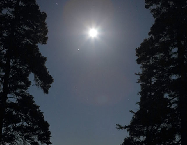
Atlantic Moon, Acadia
A fitting conclusion to our last night in Acadia National Park, this marvelous moonlight scene, with ocean reflection, bid a fond farewell. Whether here, at the Great Lakes, or night-fishing on Gulf Coast piers and Keys bridges (sorry, no photos!), some great memories arise from expansive moonlit waters. 5 SSE Bar Harbor ME (6 Oct 22) Looking ESE 44.3203, -68.1893 … [Read more...]
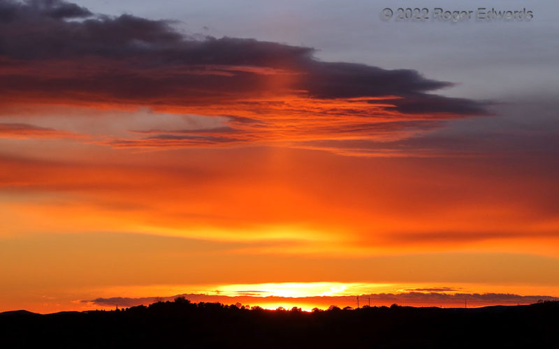
Second Santa Fe Sunset: Zoom
[Part 2 of 2] Zooming far into sectors of a sunset sky offers unique compositions that can vary vastly from the wide-angle or standard (about 50 mm) focal-length perspectives. This brings out detailed texturing of an altostratus deck's underbelly, backdropping a segment of a sun pillar. From just a couple minutes before, a wide-angle sky view to the west and southwest is seen in Part 1. Every … [Read more...]
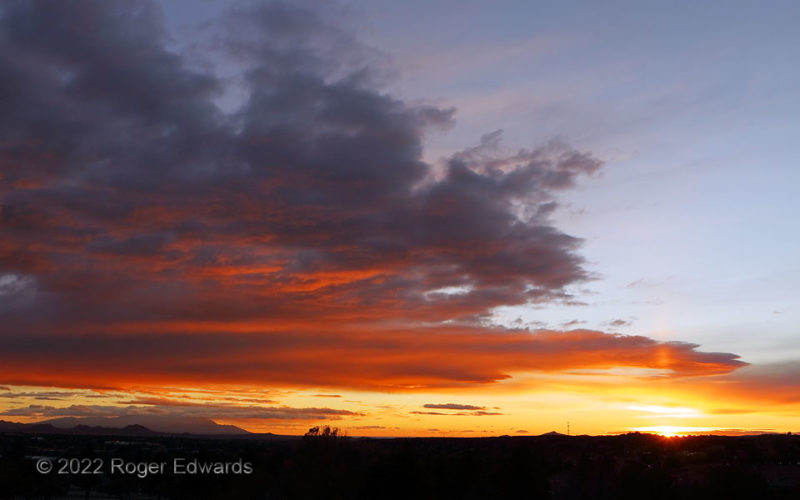
Second Santa Fe Sunset: Wide
[Part 1 of 2] Nestled at the foot and in the moisture shadow of the southernmost Sangre de Cristo Mountains (unseen behind), Santa Fe's dry climate offers the potential for many clean-sky sunsets throughout the year. Here, in autumn, we enjoyed the second consecutive day with a beautiful sunset over and near the Sandia Mountains, seen at distant left. At right, the setting sun illuminated a … [Read more...]
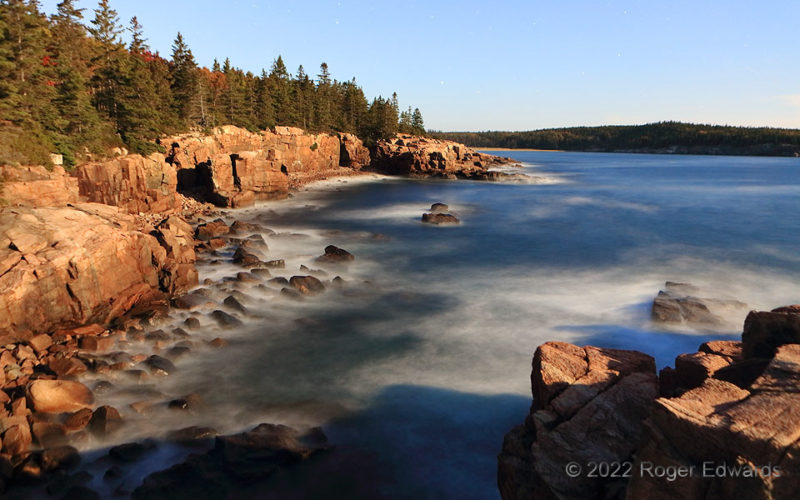
Maine Coast by Moonlight
Coastal Maine’s rugged beauty takes on a new tone under a bright, late-twilight moon. A short time exposure brightens the scene nearly to daytime levels, as the incoming tide’s continually crashing surf feathers itself ghostly across the big rocks. Little by little, this pounding undermines the cliffs over many millennia, tumbling more boulders to be smoothed by the wave action. Glaciers did … [Read more...]
- « Previous Page
- 1
- …
- 82
- 83
- 84
- 85
- 86
- …
- 413
- Next Page »