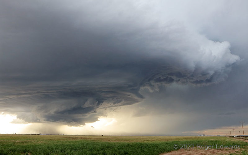
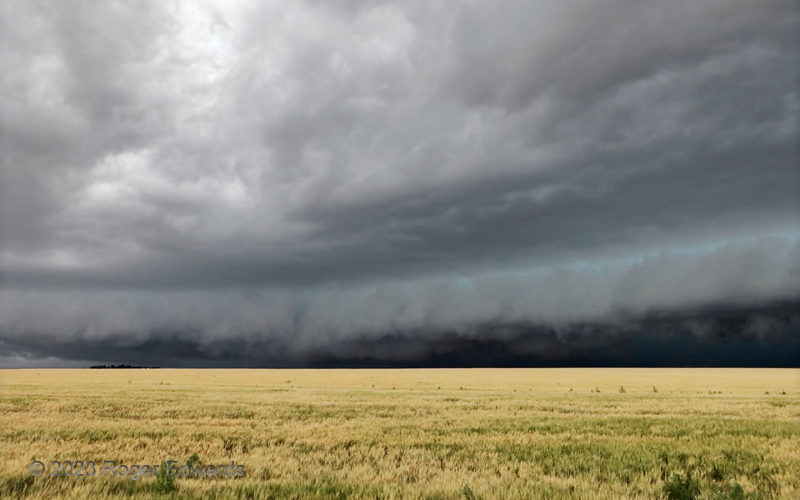
[Part 1 of 4] What became known as the "Hereford-Happy" supercell, with legendary structure for a long time, developed near the New Mexico line northeast of Clovis, then marched east-southeastward to southeastward across the Panhandle into the evening. The storm showed nice form earlier, but got very intense and cranked up the structural spectacle over Hereford. Here, we see a multiple tiers … [Read more...]
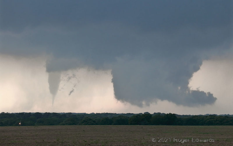
Secluded Tornado
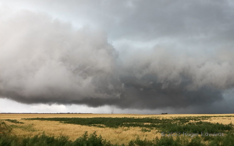
Late in a tornado's life cycle, when accompanying a cyclic supercell, sometimes the vortex will separate from most of the updraft region and kick toward the rear of the storm, while a new mesocyclone (here represented by the wall cloud at right) organizes roughly downshear. Such a fate befell the "Blum tornado" in its last few minutes. [Another great example was the final stage of the 2010 … [Read more...]
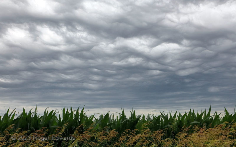
Ansley Asperatus
Elevated atop outflow from prior overnight convection, these textbook "asperitas" (I still prefer the original "asperatus"), a type of undular warm-advection clouds, decorated the sky over central Nebraska cornfields. Common in the central U.S., I've also shot them well to the south in the Metroplex, from the old NSSL building in Norman, over Oklahoma City, and well to the north over eastern … [Read more...]
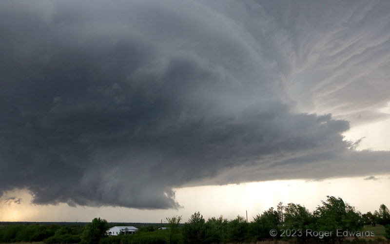
Pre-Cole Supercell Spectacle
In the preceding mesocyclonic cycle before the Cole tornado, the same supercell exhibited striking structure—from the slowly rotating wall cloud at lower left up through the vault region at upper right. This had become a wide updraft within an environmentally favorable parameter space of moisture, shear and instability, giving me more confidence in its tornado potential, if the storm wouldn't get … [Read more...]
Pioneers’ Nightmare
Imagine: long before modern weather knowledge, being a pioneer settler in a covered wagon, following some High Plains trail out to a promise of “whiskey, women and gold”, or at least free land to homestead, and seeing this roll over the endless-looking shortgrass prairie horizon right toward you. Way out yonder on the great wide open with no place to shelter, no place to hide… 2 S Brewster KS … [Read more...]
Brief Subvortex
For once, I was in optimal position to see such a process briefly become tornadic before being undercut. This was one of a handful of successive tornadic subvortex spinups under the area of rapid rotation at lower middle, described reasonably well by a different spotter as a short-lived, weak multivortex. [The faint wisp of another subvortex barely lingers just to the left of the obvious … [Read more...]
- « Previous Page
- 1
- …
- 65
- 66
- 67
- 68
- 69
- …
- 413
- Next Page »
