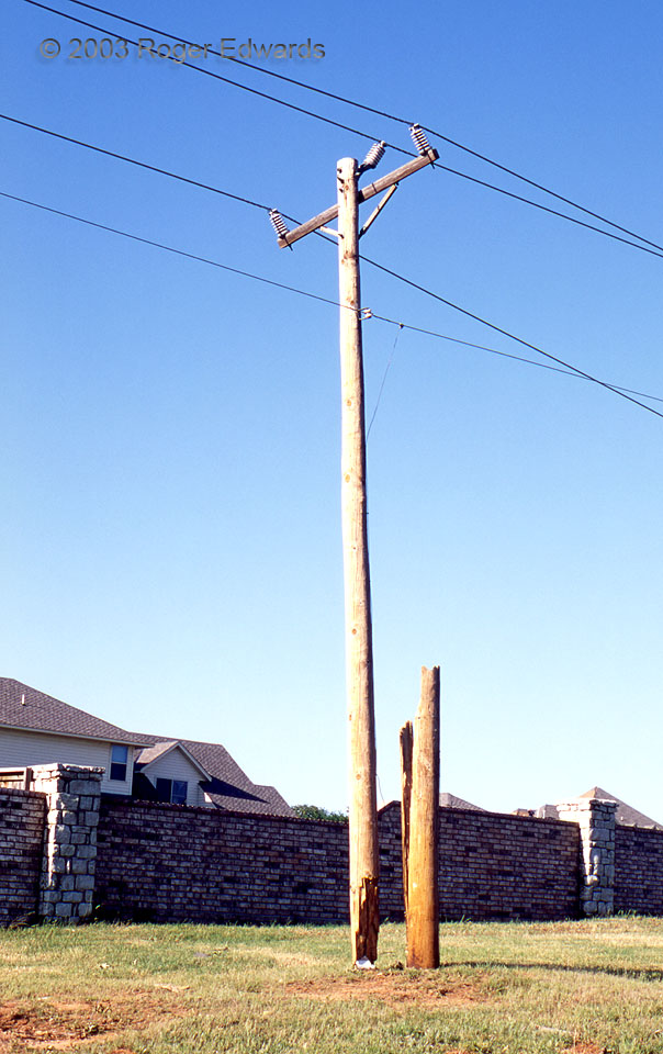
The title of this page is precisely what a tornado on 9 May 2003 did to this pole on the north fringe of its track. Although the houses immediately at rear (north) suffered little or no damage; there was enough wind on this side of the stone fence to snap the pole apart several feet off the ground. The removed part blew northwestward then dropped straight down, parallel to its decapitated base. … [Read more...]
Tornado Imminent!
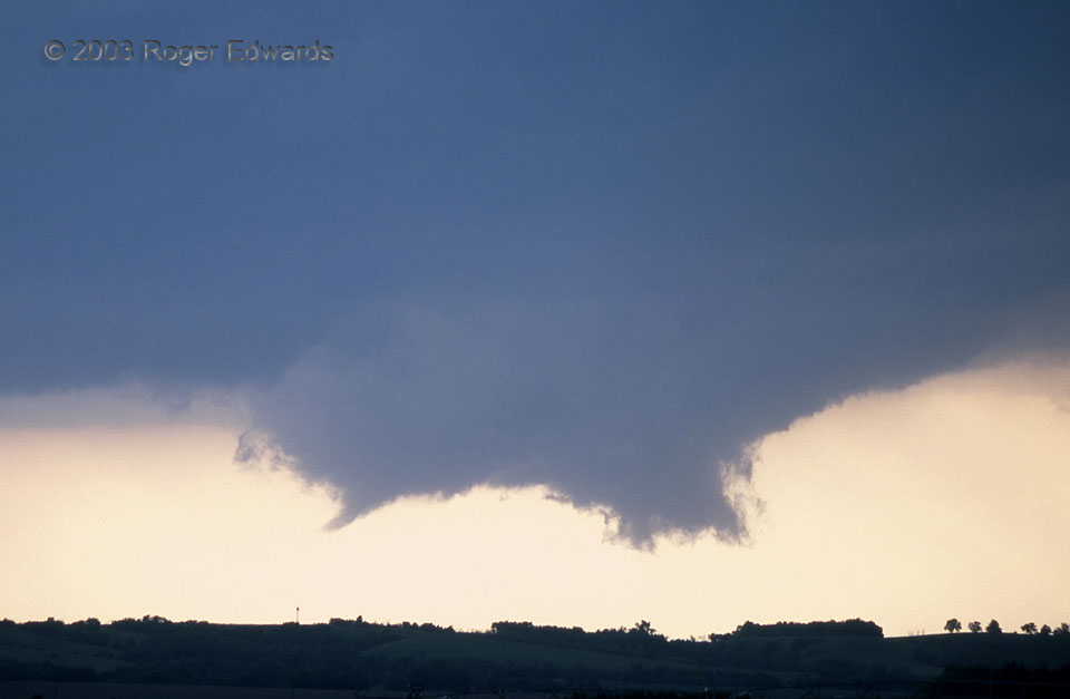
During the forenoon hours, we had forecast this area for best supercell and tornado potential, doubtful about reaching it in time from our Denver-area base. I'm glad we tried! As Elke and I gulped a quick meal along I-80, ignoring unsolicited advice from a very respected and experienced storm-observing colleague urging us to go south, we saw the storm erupt to our north, then arrived on site … [Read more...]
Okie Summer Sunset
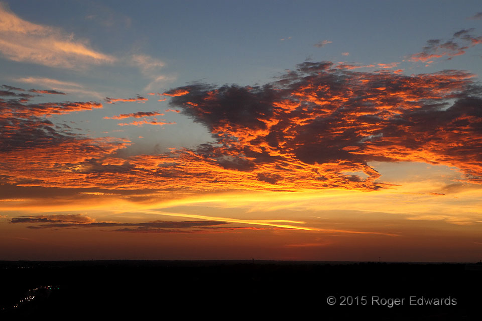
Oklahoma may have more than its share of hazards, natural and man-made, but for those with an eye to the sky, the southern Plains offer countless unique and spectacular sunsets in profuse compensation. This stunner evolved through several delightful phases of light and texture over a few minutes, as seen from the rooftop observatory of the National Weather Center. Norman, OK (15 Aug 15) … [Read more...]
Vik Surf
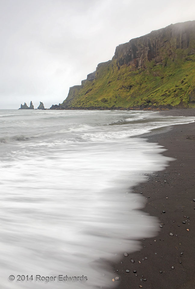
Rainy days aren't rare in Iceland at all, but they were few in our experience there. The low light set up outstanding settings for mood photography and high-f-stop time exposures when it normally would be difficult, during the bulk of daylight hours. With few other folks around willing to brave the cold rain, I treasured the experience of relative solitude in a wild place, amidst the sounds of … [Read more...]
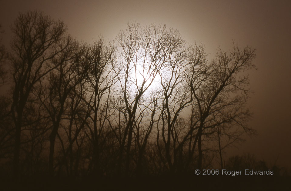
New Year’s Day Dust Storm
Amidst one of the most intense droughts to grip the Sooner State since the Dust Bowl came the dust, once again. Several such events whipped across central Oklahoma during the fall and winter of 2005–6, but the most dense and memorable was on New Year's Day. Millions of tons of reddish soil from west Texas and eastern New Mexico became part of Oklahoma that afternoon in a familiar meteorological … [Read more...]
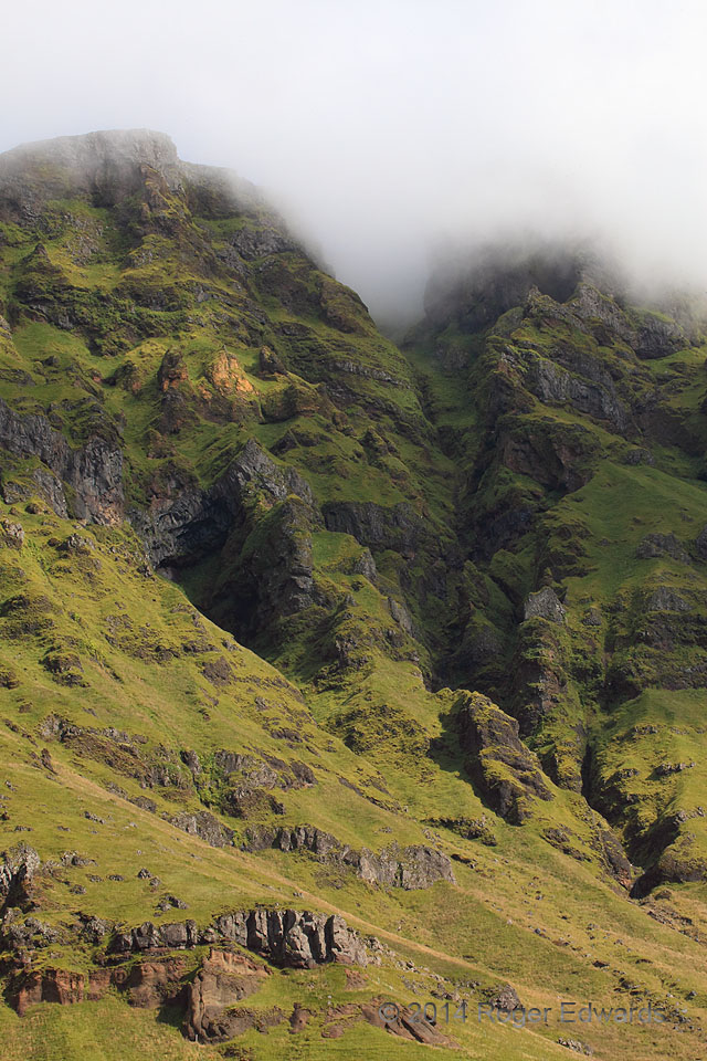
Iceland’s Highlands in the Fog
Looking up from the most landward fringe of coastal plain, the steep face of Iceland's interior plateau held tightly to a cloud deck that qualified a stratus from down here, fog from up there. In the lowlands the day was sunny—in the highlands, overcast—all spanning a basalt-punctuated carpet of rich greenery. 3 ESE Holt, Iceland (14 Aug 14) Looking NE 63.5435, -19.6997 … [Read more...]
- « Previous Page
- 1
- …
- 351
- 352
- 353
- 354
- 355
- …
- 413
- Next Page »
