From the deck of a riverboat, a sunset cruise offered a view as fine as advertised, the wintertime sun going down between high-rise buildings of downtown and midtown Savannah. The blocky edifice just to the right of the sun is the Hilton hotel in which I stayed for a severe-storms conference; and the twin-steepled structure at left is the Cathedral of St. John the Baptist, just a couple blocks … [Read more...]
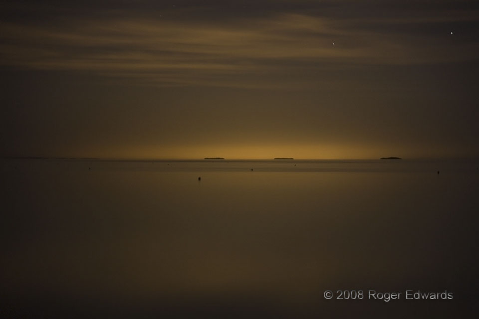
Distant Urban Sky Glow
The glow of the Miami metro area, over 50 miles away across eastern Florida Bay, penetrates a swath of night sky in the middle Keys, and reflects off the shallow and tranquil waters. Some refer to man-made sky glow as a form of light pollution. Millions of light sources all across the big population center produce this effect in aggregate, which in turn scatters through the atmosphere … [Read more...]
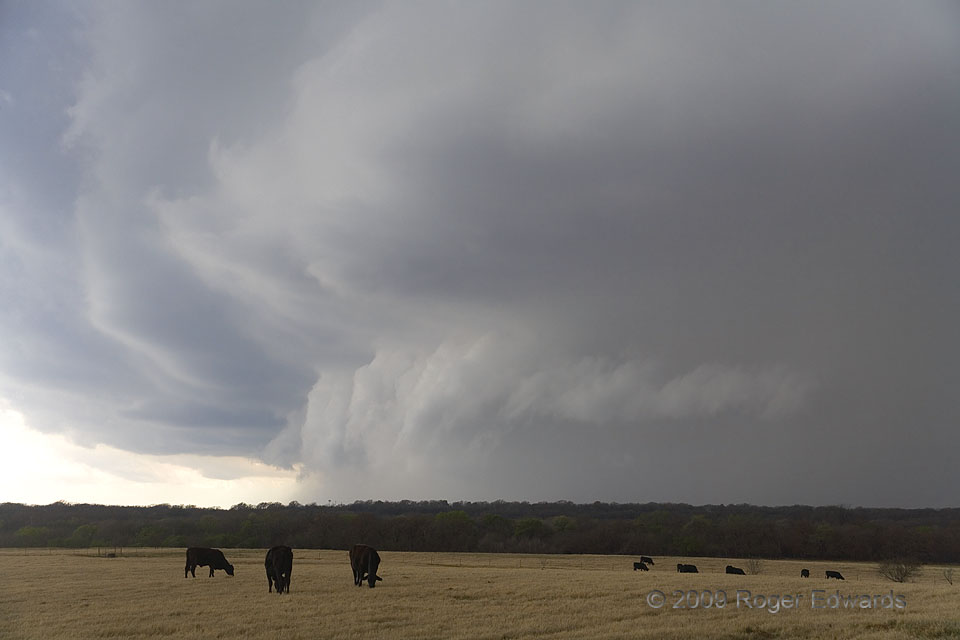
North Texas HP Stormzilla
After the last photo, the same storm moved off to my NE and produced a downburst. I then maneuvered the tortuous road around the E side of Lake Arrowhead, and began to penetrate what had become, once again, a thin and translucent looking rain area. In the mere 45–55 minutes it took me relocate from rear to front of the storm, it changed character and structure dramatically! A trip through that … [Read more...]
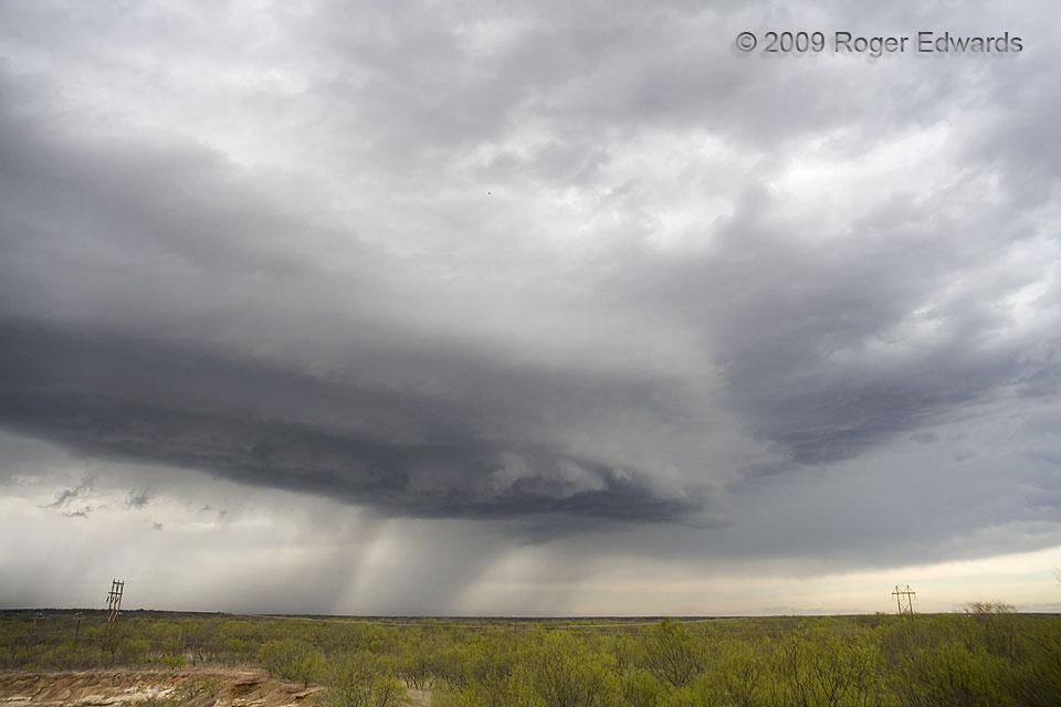
High-Based Supercell
The Easter Sunday 2009 supercell, in northwest Texas, makes a fine illustration of Chuck Doswell's reminder that a storm isn't an object, but rather, a process, often with dramatic changes in appearance and behavior over its lifespan. The thunderstorm actually cycled into and out of one supercell stage as I approached from the distance, then lost its organization and became increasingly flat and … [Read more...]
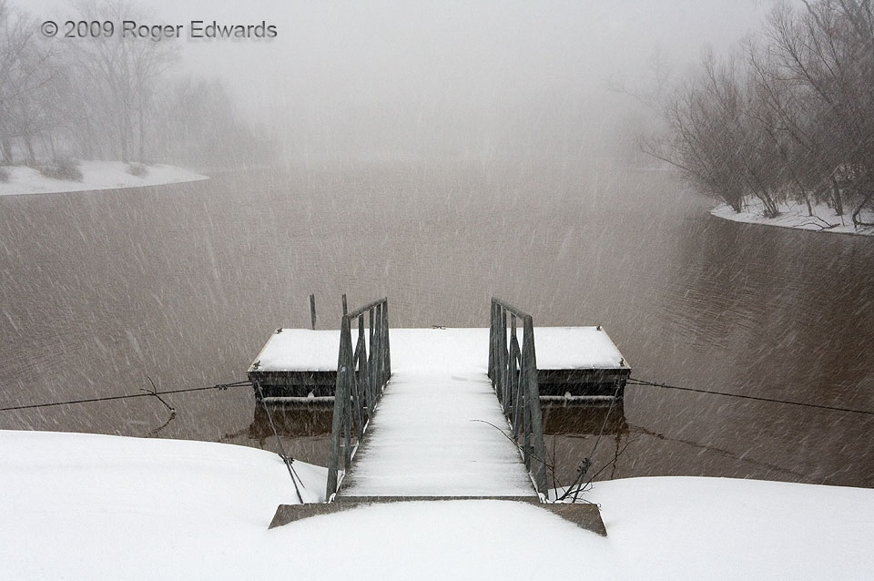
Blizzard at the Dock
Howling winds at my back, gusts exceeding 60 mph with blowing snow, made this scene even colder than it looks. I had to wait until a brief interlude between the big gusts to shoot steadily. Norman was in the throes of a full-fledged blizzard, an uncommon but precedented event in these parts. Such unseemly conditions certainly ruled out a leisurely afternoon of fishing or paddling a canoe. At … [Read more...]
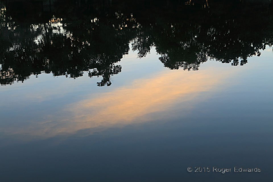
Sunrise Cirrus Reflective
Solitary and graceful, a patch of cirrus catches rays of Tang-powder orange, then sends the sweet hue on its way to the water's surface to be reflected into the lens and digitized for ultimate display on your screen. Cool, calm and serene, the dawn was the epitome of a pleasant autumn morning. Norman OK (2 Oct 15) looking E 35.2076, -97.3758 … [Read more...]
- « Previous Page
- 1
- …
- 341
- 342
- 343
- 344
- 345
- …
- 413
- Next Page »

