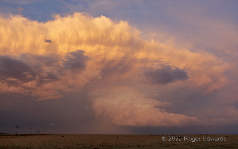
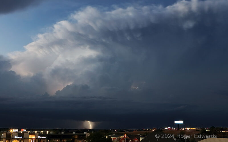
Just north of the Oklahoma/Colorado border, a supercell blew up shortly before sunset, putting on a spectacular show for all who stationed themselves to its west. This is the broader view, a minute or two later, of a previously posted zoom revealing the excellent and vibrantly colored pileated-tower action on the storm's rear flank. For a chase day with little hope and little convection before … [Read more...]
Spooky Transitional Supercell
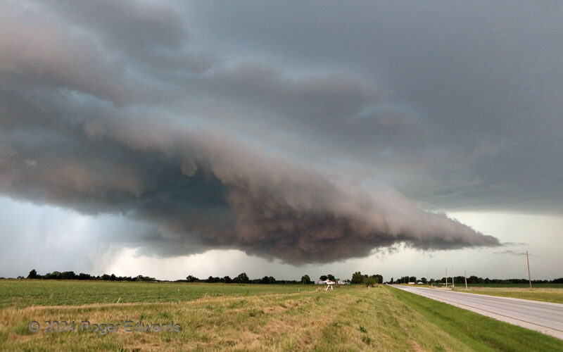
For a brief time, probably less than 15 minutes, a previously somewhat elevated supercell became surface-based between Shelbyville and Shelbina in Shelby County, MO. [This Shelby character must have made quite an impression back in the day!] However, strong rear-flank outflow surged out south of the older mesocyclone, which was weakening at this time and represented by the shallow, shabby wall … [Read more...]
Spiked Condensation Cone
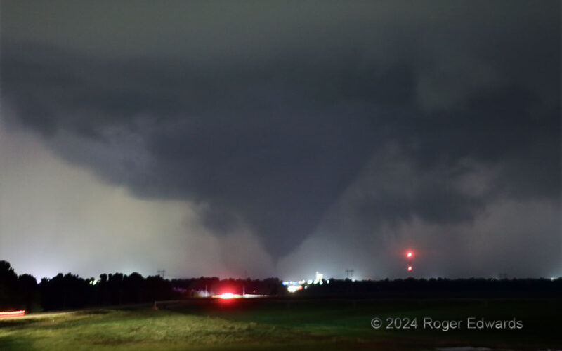
This fat-cone-with-spike shape probably was the cleanest presentation of the 2024 "Union City" nighttime tornado, from my perspective south of town and on the north-facing southern slope to the Canadian River Valley. Having stairstepped down to this spot from the northwest, in front of the long-lived, complex supercell, I chose this location specifically for the safe vantage it would have toward … [Read more...]
Lower Marymere Falls
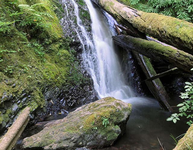
On the way to bottle-shaped (upper) Marymere Falls, in the northern Olympic Mountains, this smaller waterfall nonetheless expressed its delicate beauty in tumbling between a fallen rain-forest log and a boulder. Lush growth of ferns occurs under tall conifers that shade the stream almost constantly, year-round. The shadows make waterfall photography straightforward by forcing longer exposure … [Read more...]
North City Supercell, Twilight
Soon to be absorbed into a building line of thunderstorms on either side, an autumnal, twilight supercell made a showy grand finale while passing just north of the northwest fringe of Oklahoma City. Just a decade ago, this area was entirely rural. The storm-damage cost to the nation as a whole is increasing rapidly as development expands into areas previously traversed by severe weather like … [Read more...]
Sunrise off Virginia Beach
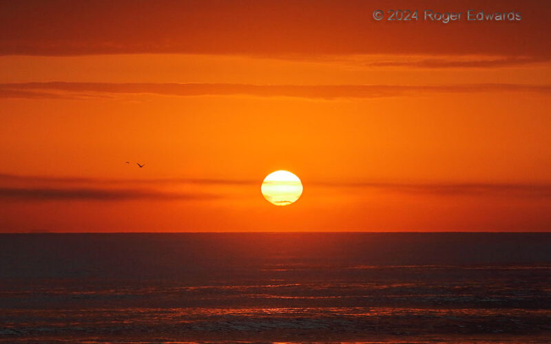
Curses to blessings: a night of very shallow, choppy sleep at a conference, just a few days after a truncated set of overnight shifts, turned into an unexpected opportunity to experience and photograph a sunrise over the Atlantic Ocean. "I can't sleep, and have to get up soon anyway, so...what the hell!" A mighty fine sunrise it was indeed, with a gentle surf washing at my feet and seabirds … [Read more...]
- « Previous Page
- 1
- …
- 32
- 33
- 34
- 35
- 36
- …
- 413
- Next Page »
