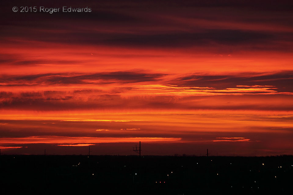
Right before all the bright colors faded from the previously redder banding afar, a very brief kiss of cotton-candy coloration swept across a ragged ribbon of cirrus in the wider-angle skyscape. With the benefit of a bigger view and the natural shifts in tone and cloud character, time had assigned this sunrise a concluding, bluer expression of warm and cool chromatic contradictions, before … [Read more...]
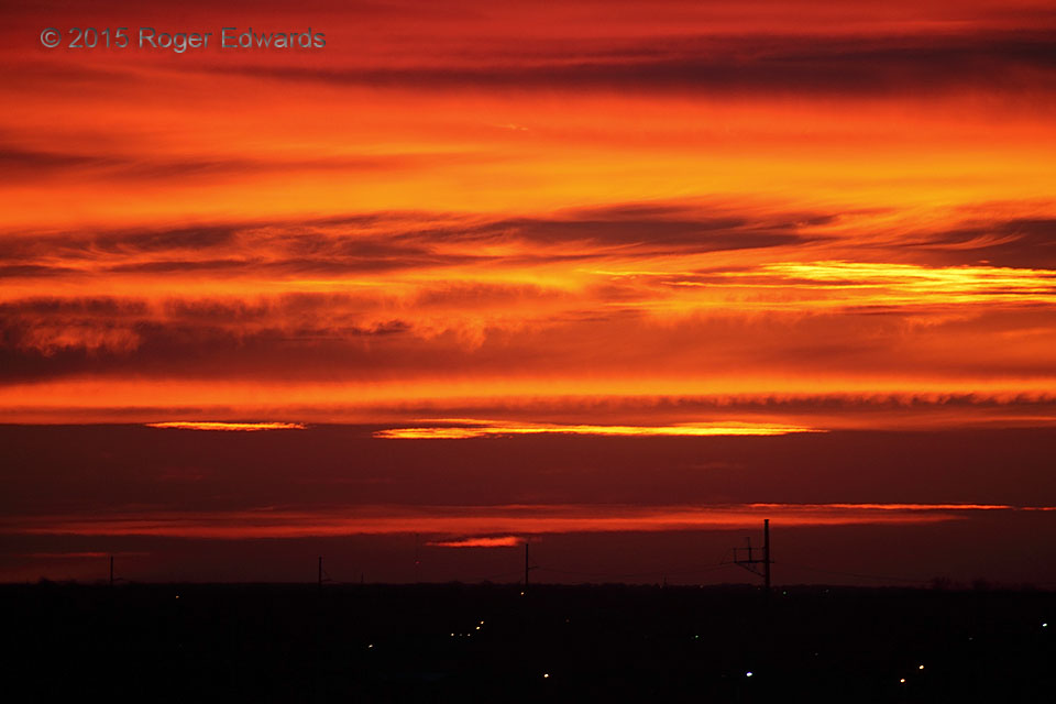
Sunrise Personality 3
More minutes passed from the second personality of this sunrise, the frame of view still deeply zoomed but with a slightly different compositional selection. The sky had brightened slightly as more subtly bluesy magenta undertones filtered through the palette. Meanwhile some distant clouds began to block layers of sunlight and adjust the placement of others. The last personality … [Read more...]
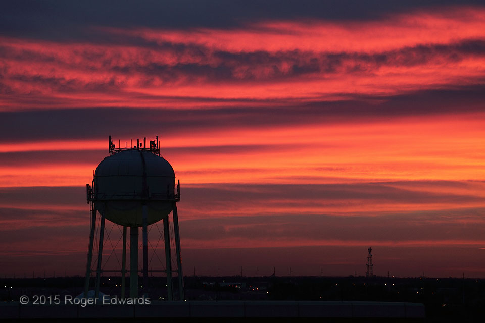
Sunrise Personality 2
An even deeper zoom from the first personality of this sunrise, with a minute or two of time added, reveals even brighter reds and oranges in a smaller space, and more yellows, with changes in cloud geometry corresponding to that elapsed time. Tufts and filaments of upper-level virga really stand out nicely against their somewhat darker backgrounds. This is the sky looking dynamic and … [Read more...]
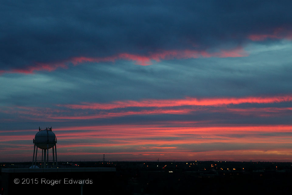
Sunrise Personality 1
Every sunrise or sunset has its own characteristic, unique ebb and flow of colors, textures and shapes. No two ever can be identical. Even within the same event, the personality of the sky evolves minute to minute, accentuated and differentiated by the necessarily limited selection of view that we make with eyes or camera. This sunrise, as with most, started in deep, warm reds … [Read more...]
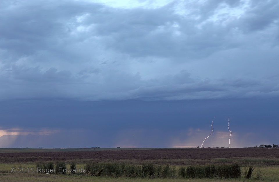
Two-Spark Twilight
Even when one is "left" with a cold pool from late-afternoon storms that long since dissipated or moved away, the chase day isn't necessarily over. After a wonderful real-life laboratory exhibit of stormy sky and wildflowers, we had a nice dinner in Dalhart, saw elevated convection erupting atop the outflow pool, then headed right back out in the early twilight for more stormy High Plains … [Read more...]
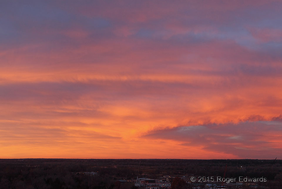
Southern Light
Dawn of this mild winter's morning offered a brilliantly illuminated southern view. Light-blocking clouds to the east and north kept the best colors in a fairly short time window and spread from west (opposite the sunrise) through southeast, somewhat at right angles to the rising sun itself. Folks awake this early in southern Oklahoma surely had a sky-wide spectacular to witness; and our view … [Read more...]
- « Previous Page
- 1
- …
- 335
- 336
- 337
- 338
- 339
- …
- 413
- Next Page »