My one viewable sunset in Barcelona was a special one, looking from the commercial quay across the harbor to the industrial docks, with resting kayakers, and gulls on their last flights of daylight before roosting. The Port Vell Aerial Tramway's 351-foot Torre Jaume I (King James I of Aragon) tower, at left, links a smaller terminal tower behind the view to the hill in the distance; the tram has … [Read more...]
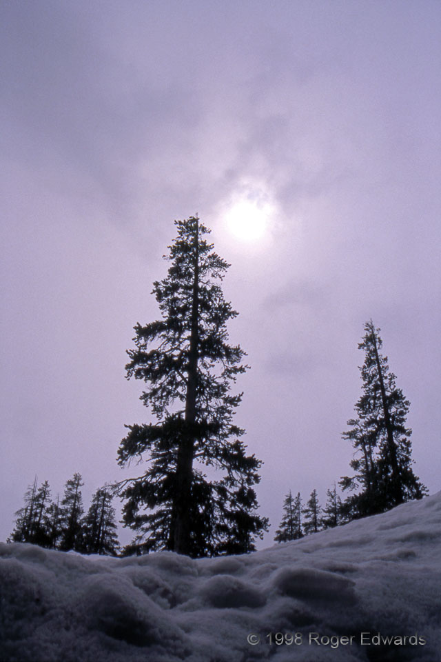
Altostratus in the High Sierra
Altostratus and fractostratus drift by during a light snowfall in the Sierras. It had been an unusually moist winter, with 5–6 feet of snow already on the ground. I took this photo from just under the top of a snow ledge behind a building, where the snow had been cleared to ground level so the back door could be used. Altostratus is the stratoform cloud type which occupies mostly middle layers … [Read more...]
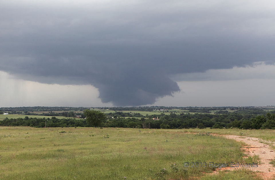
“Ground-Scraping” Wall Cloud
Menacing as it looks, this extremely low wall cloud never produced a tornado, and was only weakly rotating through most of its lifespan. At times, the feature extended below the visible horizon, and likely was drawing condensation right off ground level at times. Seen from anything but a hilltop perspective, an inexperienced spotter at this distance might have been fooled. Wall clouds appear … [Read more...]
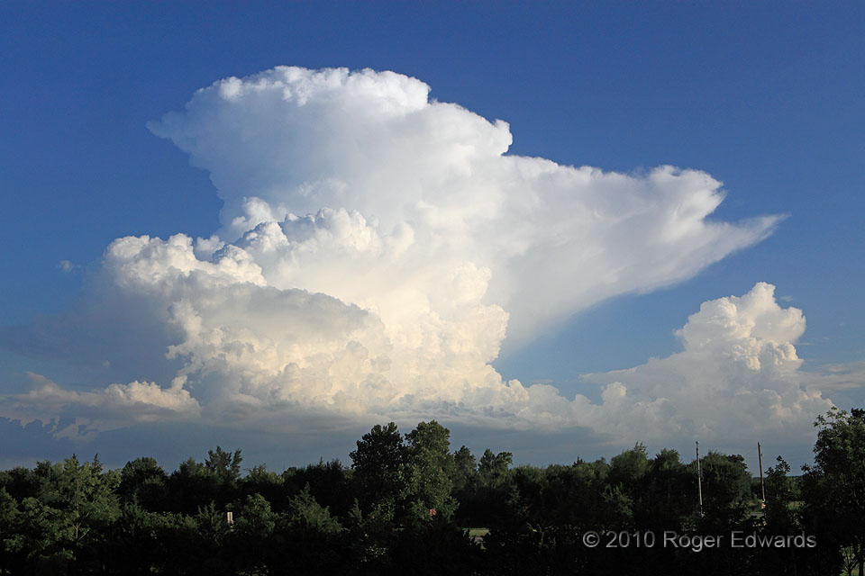
Small Multicell
Arising on a boundary left behind by earlier and long-deceased convection, this cumulonimbus erupted shortly before sunset, wearing a brilliant crown of glaciated anvil material visible prominently from the National Weather Center. Soon, this storm also collapsed and dissipated in a huge heave of stable outflow. The anvil pointing toward the WSW, the backshear pointing E, and the time of year … [Read more...]
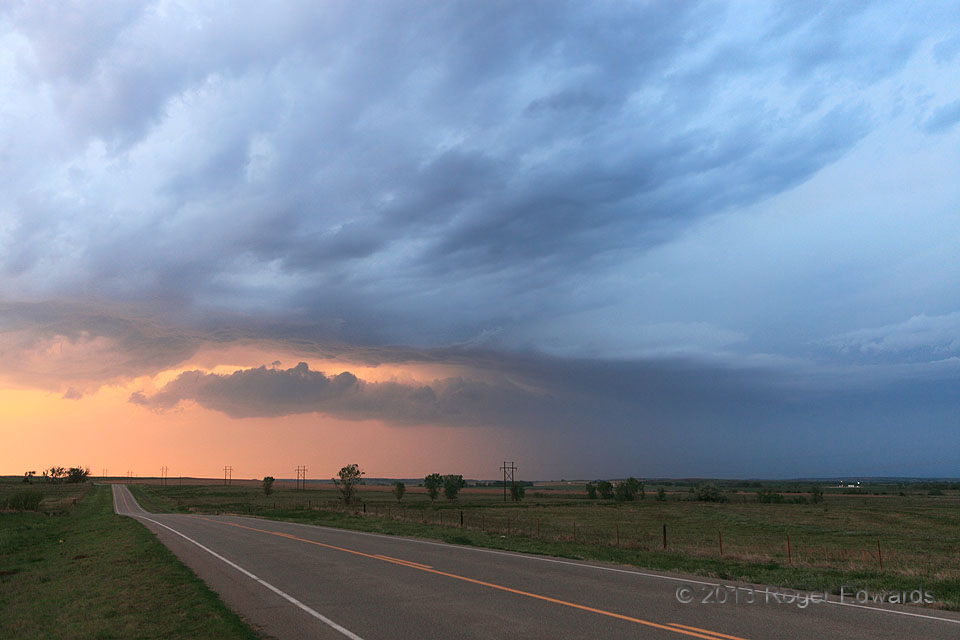
Road to Rain Color
Elevated over outflow from a storm complex to the distant right, this convection briefly bedazzled in the late-day light, its rain core emitting a tangerine glow as the final sunlight filtered through. 2 NW Camp Houston OK (18 May 13) Looking NW 36.8381, -99.1523 … [Read more...]
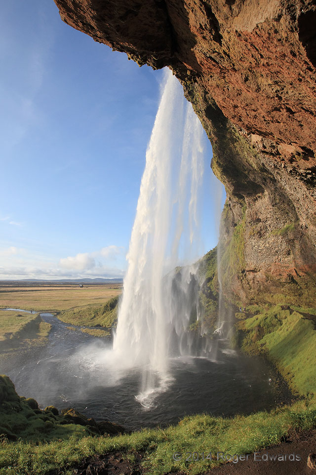
The Inspirational Cascade
Rare and deeply treasured are those moments in life that are both inwardly and outwardly so beautiful and transcendent, that all sense of self, time and worldly distractions effortlessly evaporate into the ether of awestruck wonder. At that time and from this vantage, Seljalandsfoss swept me so fully into that moment, over and over in continuum, as if I were recursively riding each drop that … [Read more...]
- « Previous Page
- 1
- …
- 330
- 331
- 332
- 333
- 334
- …
- 413
- Next Page »

