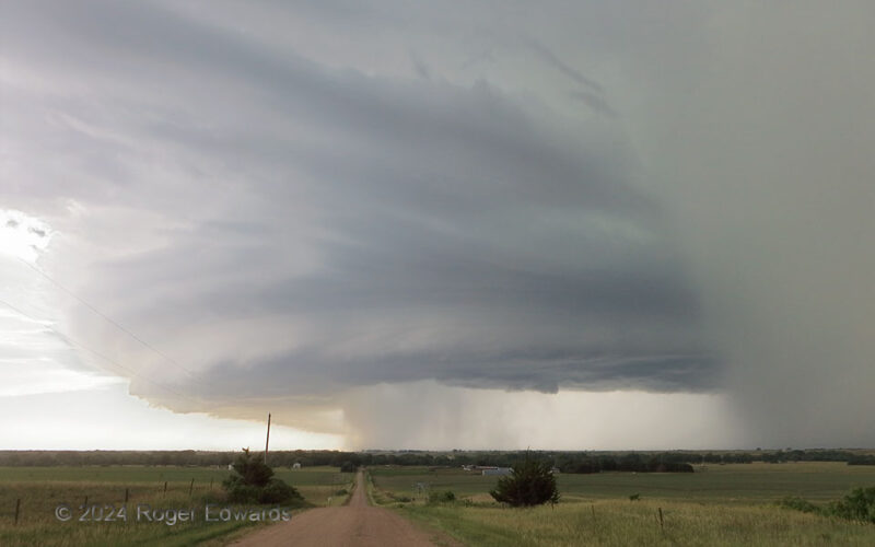
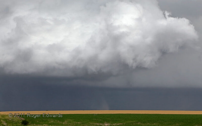
A wild supercell that had absorbed its predecessor put on a wonderful visual show in central to south-central Nebraska, so much so that I had lost any sense of tiredness related to the long drive up from Norman. Every stop was a feast on the supercellular smorgasbord for the eyes and lens, including this. Here, the forward-flank core at right curved around toward me, offering damaging hail to … [Read more...]
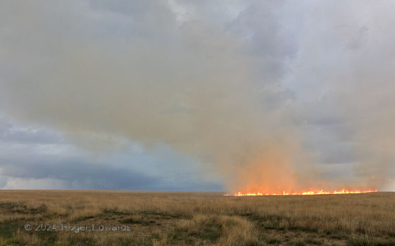
Supercell and Prairie Fire
A supercell (at distant left) obliquely approached from the north and northwest, coming into view as a grass fire started by anvil lightning from a separate supercell (behind me) continued to reshape into a line in inflow winds. The fire advanced from its earlier, lightning-ignited ring toward where I had been shooting it, so I backed southward slightly to this vantage, to let the fire cross the … [Read more...]
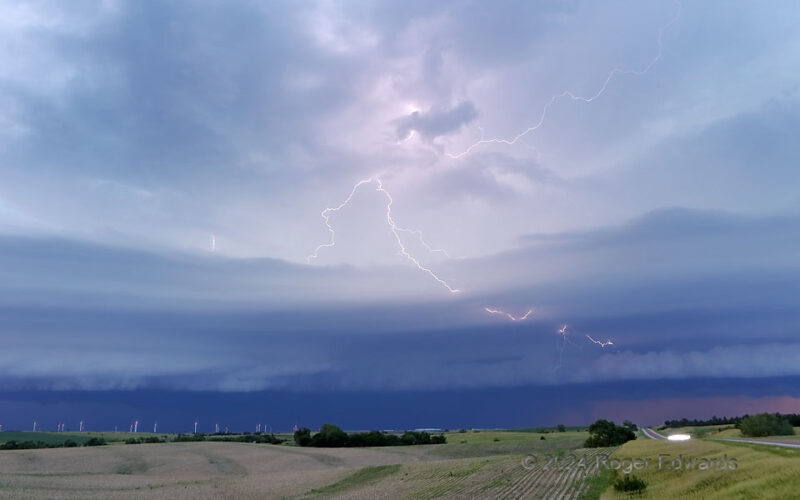
In-and-Out Spark
With no "In-N-Out Burger" anywhere nearby to stuff down my throat, I decided to feast my eyes instead upon some in-and-out lightning. Part of a far larger and mostly unseen discharge, even the miles-long visible part played shy, skittering back and forth through layers of a laminar shelf bridging the rear-flank gust front of a supercell to the northeast (off-screen right) with another not far to … [Read more...]
Mineral Bands, Pictured Rocks
Next to a cliff overlook called "Lovers Leap," springs slowly drip recent rainwater down the face of smoothly layered Precambrian sandstone, staining it with varying proportions of oxides (mainly iron) derived from deeper in the same rock. That is how we see vertical and horizontal bands overlaid in an all-natural cross-hatching pattern on this and other parts of Pictured Rocks, one of Lake … [Read more...]
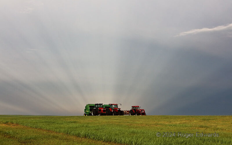
Glorious Farm Equipment
On this South Dakota country corner just a mile from Murdo, I witnessed a sublime sunset. Several minutes earlier, and on the opposite side of the sky, anticrepuscular rays formed by numerous western cloud elements appeared to merge together on the eastern horizon, beyond these farm implements, and deep into the rear of a severe-thunderstorm complex. Crepusculars and anticrepusculars (as they … [Read more...]
Another Forward-Flank Spinup
As of this writing, I've only seen about a half dozen forward-flank tornadoes in all my time storm observing, and all but one were with this weird, midday supercell! While one at right foreground dissipated under a still-rotating, scuddy part of an updraft base (note faint dark dust rightward of lower center), another persisted in the back, to the SW of the dying circulation. All of these … [Read more...]
- « Previous Page
- 1
- …
- 30
- 31
- 32
- 33
- 34
- …
- 413
- Next Page »
