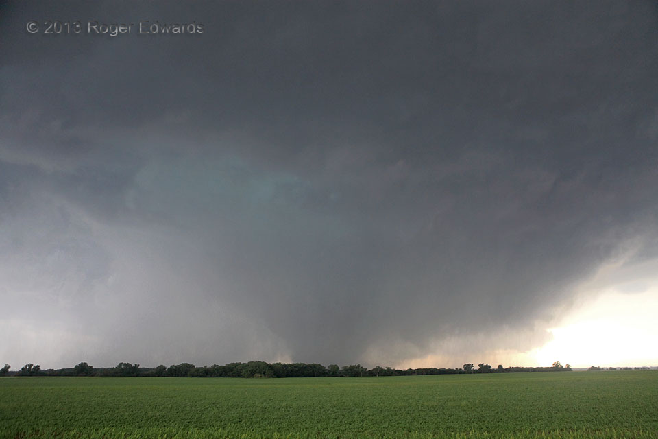
Here is a wide-angle view of the long-lived, nearly stationary Bennington tornado during one of those transitional phases between cleanly visible and rain-wrapped, as a heavy cascade of rain and hail descend through the occlusion downdraft at cloud base (turquoise area). Given its erratic, very slow movement and EF5-level winds sampled by mobile radar, this tornado could have done catastrophic … [Read more...]
Convergence at Coffee Creek
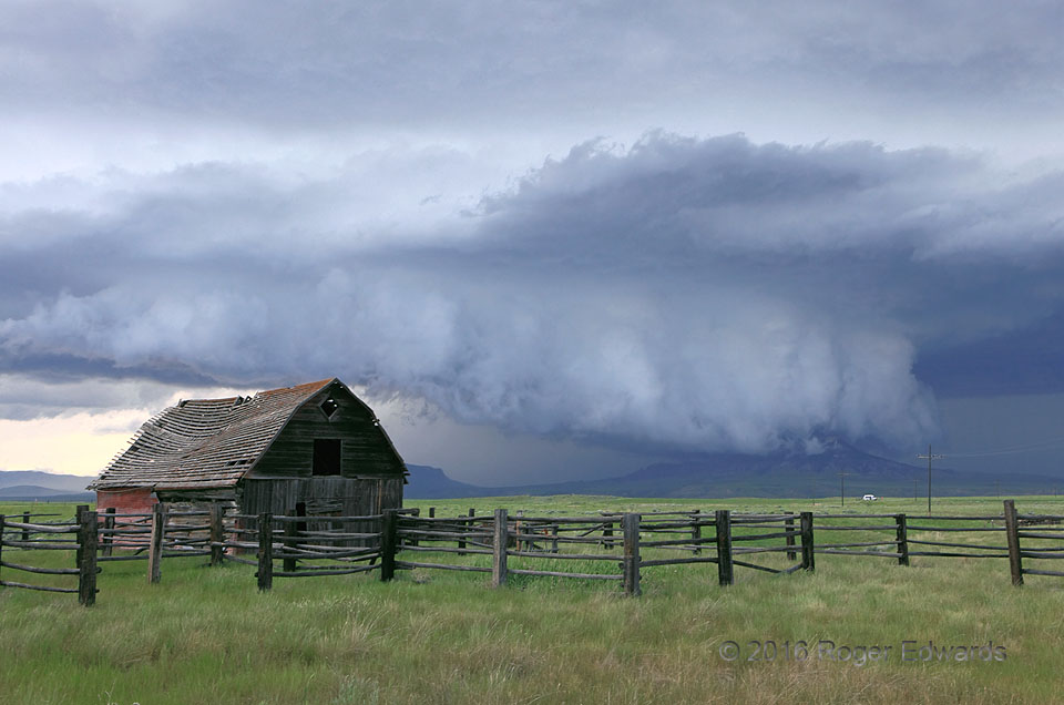
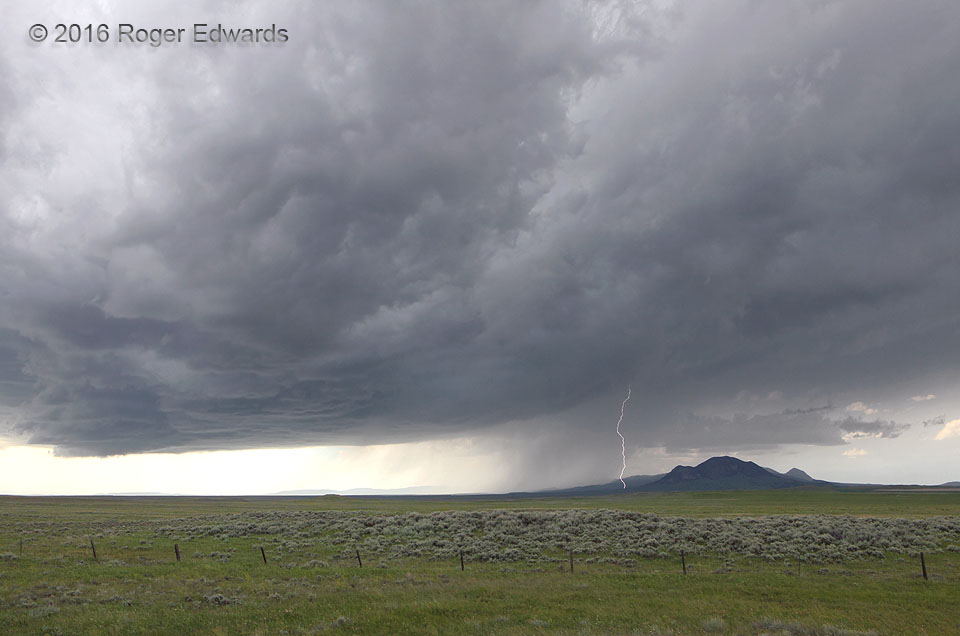
As a relic of a homestead's past creaked in the storm's inflow winds, the supercell's wall cloud engulfed a butte in central Montana. Always I will wonder: what was it like on top as the wall cloud swept across? Where the Rockies disperse piecemeal into the green grass of the northern Great Plains, many things converged in this unique moment: air masses into the storm, land and sky, light and … [Read more...]
Kansas Nighttime Non-Tornado
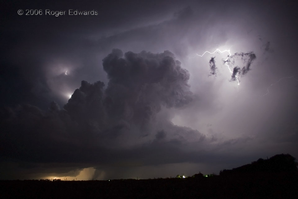
This small supercell moved NE along a slow moving cold front and stayed surface-based for about an hour, until merging with other storms. In the meantime, the storm flashed brilliantly, mainly with in-cloud lightning, occasionally hurling a ground strike or aerial filament. Does the distinct, dark lowering below its base, just left of lower center, look like a tornado? Brief glimpses of such a … [Read more...]
Nebular Cloudscape
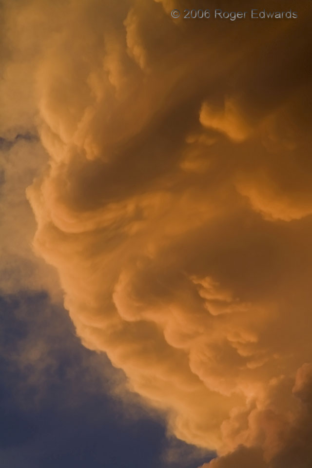
As the sun's rays bled their blues out through the longest possible fetch of atmosphere, they cast their warm remainder across these convective cloud turrets located high up the side of a slender storm tower. Ghostly vaporous permutations of light and shadow projected across a skyscape that evolved wondrously minute by minute. Zooming in with eyes, mind and lens revealed otherwordly patterns of … [Read more...]
Storm on the Judith Range
Where the green northern Great Plains meets the farthest outposts of the Rockies, thunderstorms fire often in the late spring and summer, rolling across the vast Montana landscape, spitting fire and ice in the form of lightning and hail. This booming spectacle swept eastward out of the Judith Gap area, across Lewistown and the gold- and silver-laced mineral veins of the Judith Range, spinning … [Read more...]
Yoder Motor
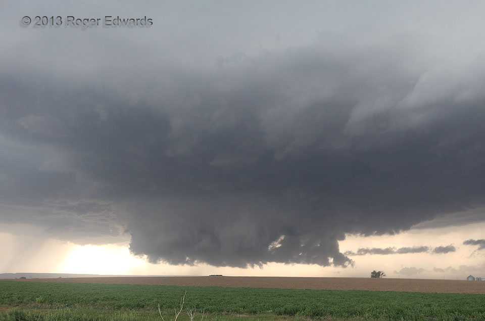
Quickly organizing, this young supercell went from a rather featureless and high-based cell over higher terrain to growing fat and happy fast, when encountering a ribbon of richer moisture advecting out of the Nebraska Panhandle. A fresh but weak outflow boundary from a prior supercell to the north may have helped too. This wall cloud arose within just a few minutes as the low-level mesocyclone … [Read more...]
- « Previous Page
- 1
- …
- 303
- 304
- 305
- 306
- 307
- …
- 413
- Next Page »
