Before reading the next sentence, some folks may not correctly guess the contents of this photograph. The time exposure, set to the lights within Savannah's Forsyth Park fountain, was framed precisely to capture the spray plumes from several water jets, to the exclusion of any surrounding foreground (i.e., the fountain's structures). The partial scene is absolutely authentic, but as with any … [Read more...]
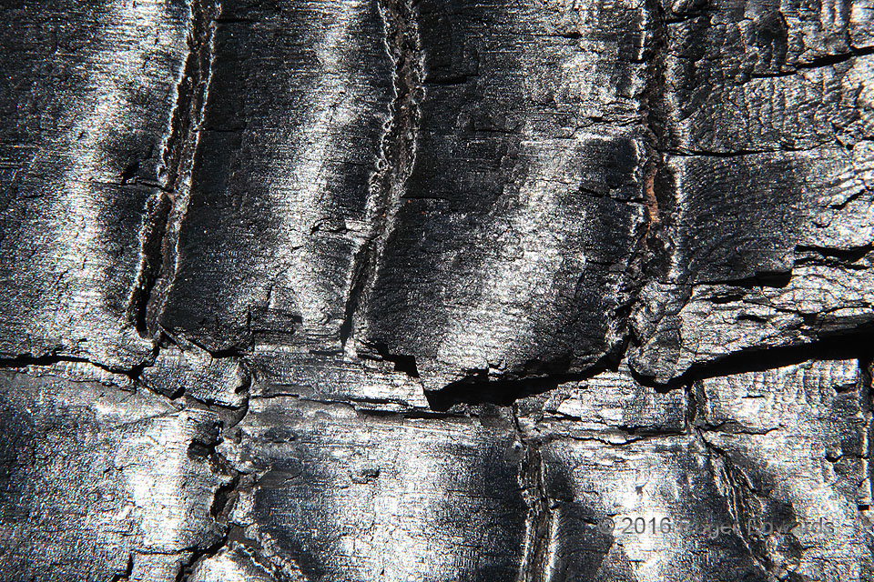
Sparkling Char
In countless twinkles of prismatic reflection, the bright sunlight of a June noontime sparkles off the crystalline carbon surface of a charred log. Wildfires can bring death, destruction and misery, but also rejuvenation and renewal. Sometimes one even may find a nugget of unexpected beauty in their aftermath, as in this few inches of Devils Tower National Monument. A lesson: as spectacular as … [Read more...]
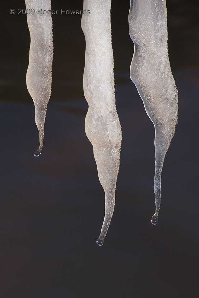
Icicle Fangs
Three slowly melting icicles resemble venom-dripping fangs, set against a dark and mysterious background that turns out to be the waters of Norman's Lake Thunderbird. 6 W Little Axe OK (26 Dec 9) Looking NE 35.2253, -97.3017 … [Read more...]
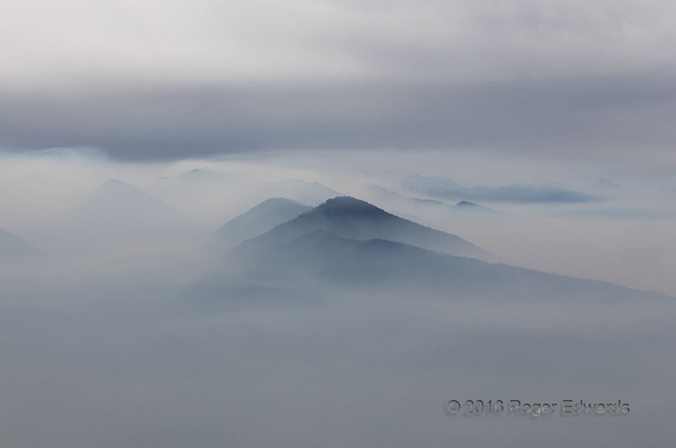
Olympic Mountains in Smoke
Seldom are the Olympics seen like this. An eerie, otherworldly aura of light, shadow and vapors suffused the valleys and mountainsides on this cool morning, when a slowly eroding inversion layer held dense smoke from three active, month-long, lightning-initiated wildfires tightly against the undulating terrain. Overhead, a thickening cloud layer aloft sandwiched the thin band of relatively clear … [Read more...]
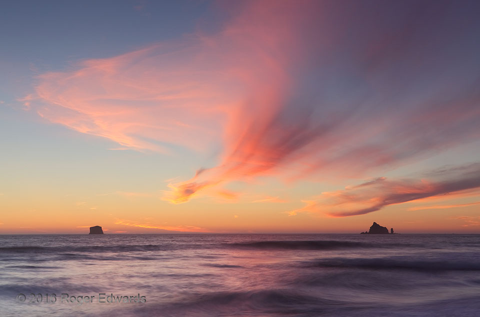
One Rialto Moment
Thirty minutes before, no indication existed that daylight's denouement would be anything other than a really nice beach scene with some twilight wrapping around distant stack islands. That alone is more than a sufficient and appreciated blessing to experience. One fortuitously timed patch of cirrus clouds, wafting southward over the sea, centered right between the rocks at peak color, made this … [Read more...]
Dawn’s Glow: Mount Rainier
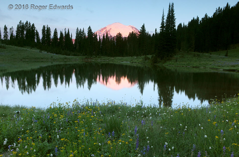
Perhaps the grandest of America's high mountains, Rainier stands alone as a massive volcanic sentinel, thrusting itself and its jacket of glaciers into the first morning sun well before the rest of the surrounding landscape. Normally I'm not up this early, unless awake all night. However, rotating forward from a set of night shifts, and the motivation to experience this first-hand, helped with … [Read more...]
- « Previous Page
- 1
- …
- 297
- 298
- 299
- 300
- 301
- …
- 413
- Next Page »

