A marvelous South Kona sunset paints the Pacific sky beyond Puuhonua o Honaunau National Park. Deep zooming into a sunset sky rich in cloud diversity and textures can yield a perspective both microscale and macroscale at the same time. That's because, while pointing to a distance of infinity, the subset sampled is just a small postage stamp of the entire sky. Yet how many … [Read more...]
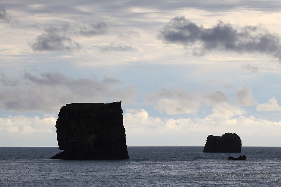
Textured Sky with Asperatus, South Icelandic Coast
The wild coastline of Iceland never fails to offer moments of wonder and amazement—just give it a few minutes. Land, sea and sky all play nicely together here, on an afternoon when most tourists simply saw a solemn sky, and this cloud and sky enthusiast experienced good times. The sea stacks off Reynisfjara here punctuated a splendid collection of clouds, from midlevel asparatus undulatus above … [Read more...]
Twilight Surf: Olympic National Park
This twilight, on the edge of the land of "Twilight", brought solace, and not the least bit of fright. Smoothed ethereally by short time exposure, the surf of Rialto and a shallow, thin fog layer offered a fluidly undular, matte reflection of the slate-blue sky above, as final reds of dusk painted the horizon. Meanwhile the cold Pacific waters splashed across both human and tripod legs—mine clad … [Read more...]
Blue Lagoon: Land and Sky
The soothing turquoise mineral waters of Iceland's Blue Lagoon, set against dark and jagged basalt from a young lava flow, defy visual norms, offering strange contrasts in color and multi-dimensionality across the vista. In the sky, thin cirrostratus and chunks of altostratus texturize the scene further. The silica and sulfur minerals precipitate from the outdoor cooling of superheated … [Read more...]
Icelandic Waterfall, by the Drop
On a fine morning at Öxarárfoss (Thingvellir National Park), it was tempting and justifiable to do some full-scale waterfall photography. Still, when one can freeze-frame thousands of drops to compose a more intimate and uncommon perspective on a world-famous cascade, why not? 16 ENE Mosfellsdalur, Iceland (11 Aug 14) Looking W 64.2658, -21.1173 … [Read more...]
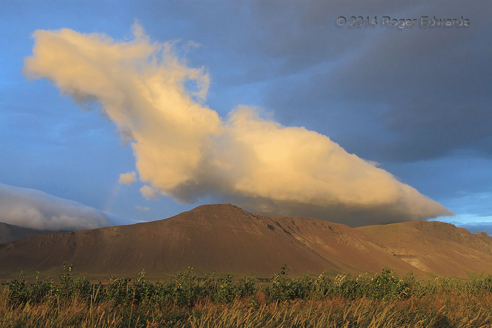
Hofsvik Sunset Prelude
As seen from Iceland's narrow western coastal plain, the interior bluffs and hills grasped the very last of their day's rays, while deepening golden yellows illuminated orographic low clouds hovering overhead. Despite its shallowness, this cumuliform cloud feature produced warm-cloud rain, as evident in the short rainbow segment at middle left. "Warm cloud" and Iceland don't seem to match, and … [Read more...]
- « Previous Page
- 1
- …
- 272
- 273
- 274
- 275
- 276
- …
- 413
- Next Page »


