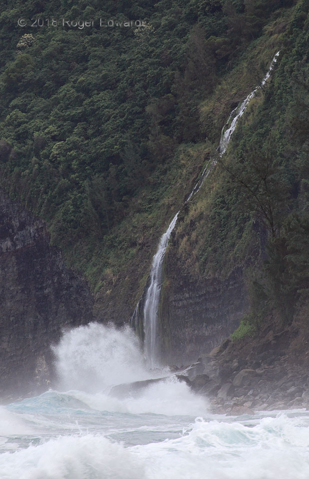
Kaluahine Falls tumbles a small, intermittent creek delicately down the face of a big cliff on the Big Island, before abruptly meeting the mighty Pacific. This is a wild and tumultuous place! The booms of these breakers across the brown basalt headlands could be heard clearly half a mile away, eroding the north side of the island more slowly then the south side is being built by Kilauea lava … [Read more...]
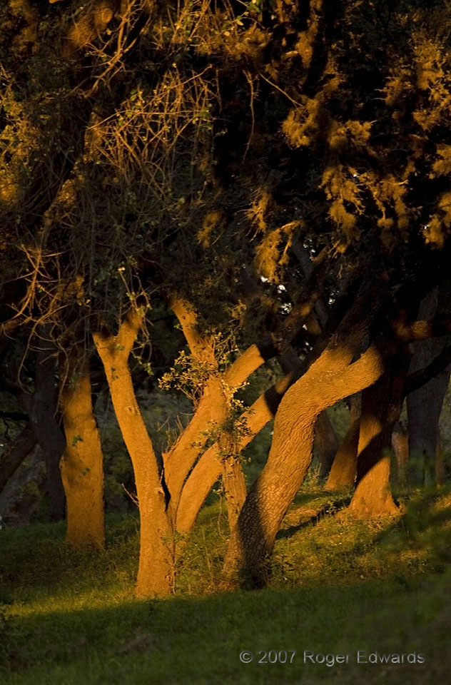
Texas Tree Trunks
A corridor of warm rays from the setting sun spotlit cypress trunks near the Pedernales River, in Lyndon B. Johnson State Park. This unanticipated, warmly lit and most-welcomed moment was part of a relaxing end to an active day of hiking, driving, photography and good food in the Hill Country. 2 E Stonewall TX (31 Mar 7) Looking E 30.2392, -98.6317 … [Read more...]
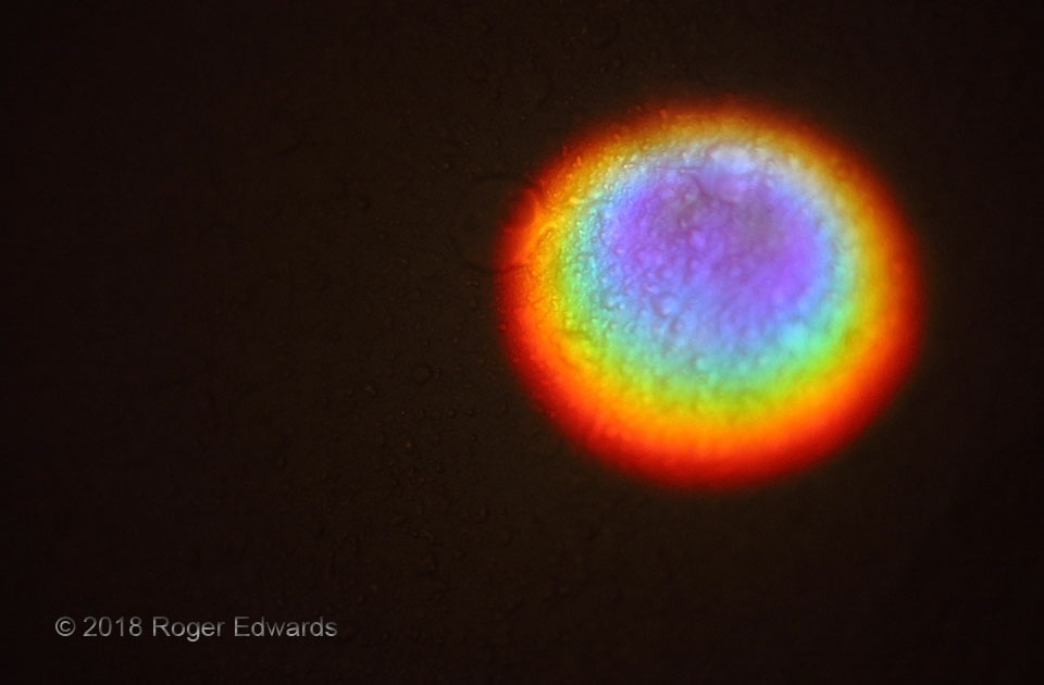
Prismatic Eye
A product of a sci-fi CGI creator during a journey through mind-altering substances? Hardly! Instead, the cause of this marvelous effect was rather ordinary: a motel-door peephole breaking the early-morning sunshine into its component colors and shining the result on the otherwise dark room's far wall. I didn't awaken expecting to break out the camera this soon, indoors, on an intended … [Read more...]
Mackinac Bridge at Sunset
Michigan's "Mighty Mac" silhouettes the auburn hues of light scattered across the northern sky from the setting sun. Half a century old the year of this photograph, the Mackinac Bridge, carrying I-75 and connecting the Upper and Lower Peninsulas, still is one of the lengthiest suspension bridges in the world, and longer between anchorages than the Golden Gate Bridge. Mackinaw City MI (17 Jul 7) … [Read more...]
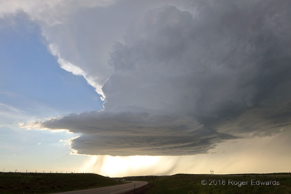
Wyoming Elevated Supercell
This beautifully formed storm was elevated atop not only its own outflow, but that of earlier storms that had developed over the region and moved northeastward over the Black Hills. Nevertheless, it persisted—drawing inflow from a thin layer of favorably buoyant air above the relatively cool, stable boundary layer. Soon, however, that inflow aloft would be pinched off by the deepening cold pool, … [Read more...]
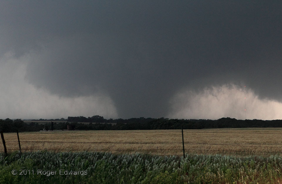
Piedmont Tornado: After the Merger
Earlier, pre-U.S.-81 stages of the long-lived El Reno/Piedmont tornado of 2011 weren't visible to me, as we were navigating our way down to this supercell from a nontornadic one to the northwest. When we set up ahead of it, we saw what turned out to be the physical merger of a shrunken version of the long-lived main tornado with a newer, nearly-as-strong satellite vortex, several miles into the … [Read more...]
- « Previous Page
- 1
- …
- 258
- 259
- 260
- 261
- 262
- …
- 413
- Next Page »
