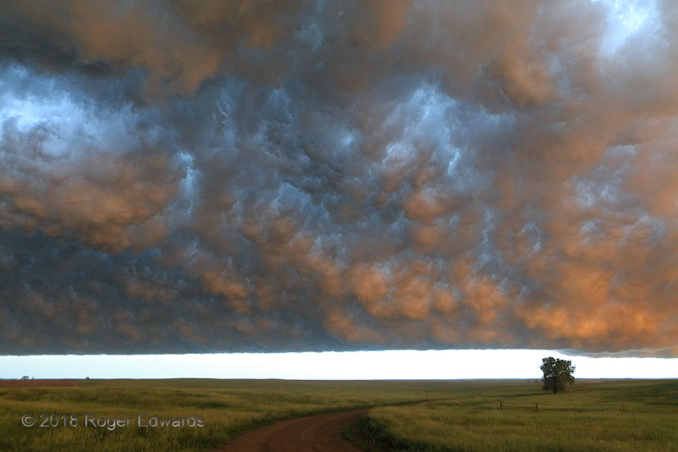
Sometimes the best views of a storm do come from directly beneath! The southern end of a line of outflow-surfing severe thunderstorms thinned enough to allow sunset light under the turbulent, deeply textured outflow clouds, at just the right time to spray a marvelous range of warm tones against northwestward-facing cloud chunks on the inside of the "band shell" or "whale's mouth". Typically, too … [Read more...]
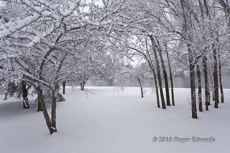
Frigid Arboreal Archway
The forested path to the pond lay in utter stillness, not a sound but for the soft, muffled crunch of boot in snow when walking, and an occasional crackle of ice when a gentle breeze swayed the tips of tree limbs. Few dared to venture out into this realm of both bitter chill and wondrous serenity. Though over a day had passed since the snow fell, mine would become the first footprints in the … [Read more...]
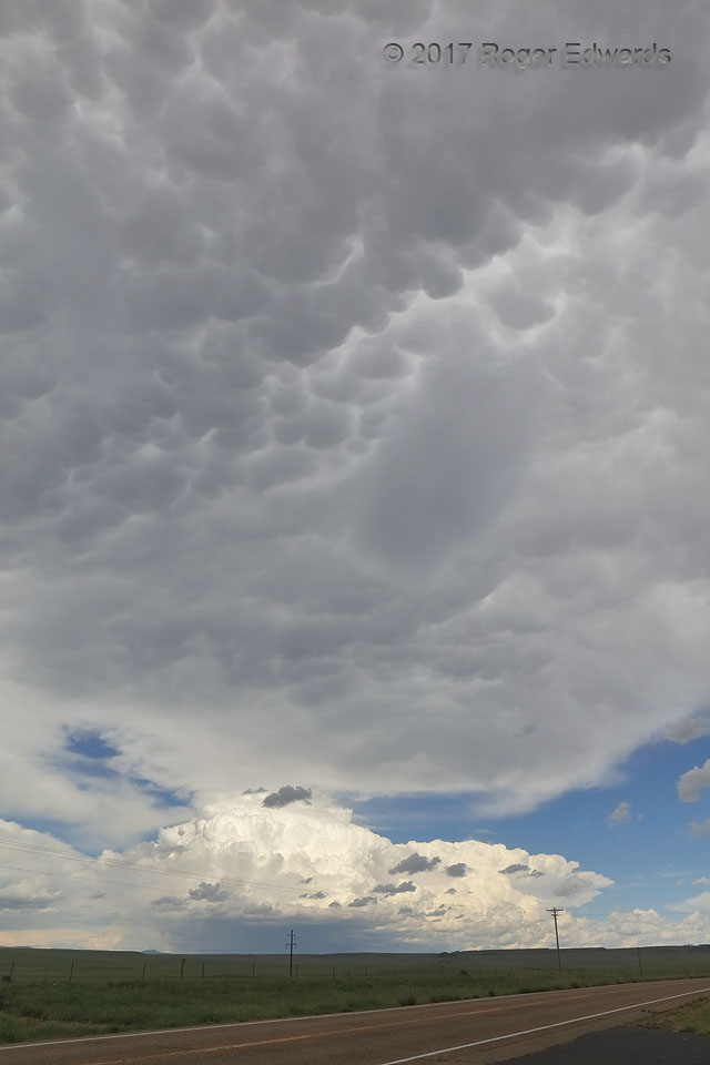
From One Storm to Another
A rare August day with mid-to-upper-level winds strong enough to support supercells and organized multicells greeted me in northeastern New Mexico, conveniently on the way home from a mostly dry "monsoon chase" trip to the Desert Southwest. What an interesting sky awaited near the Abbott crossroads! The sunlit pile of high-based storms in the distance formed on the eastern rim of the Raton Mesa … [Read more...]
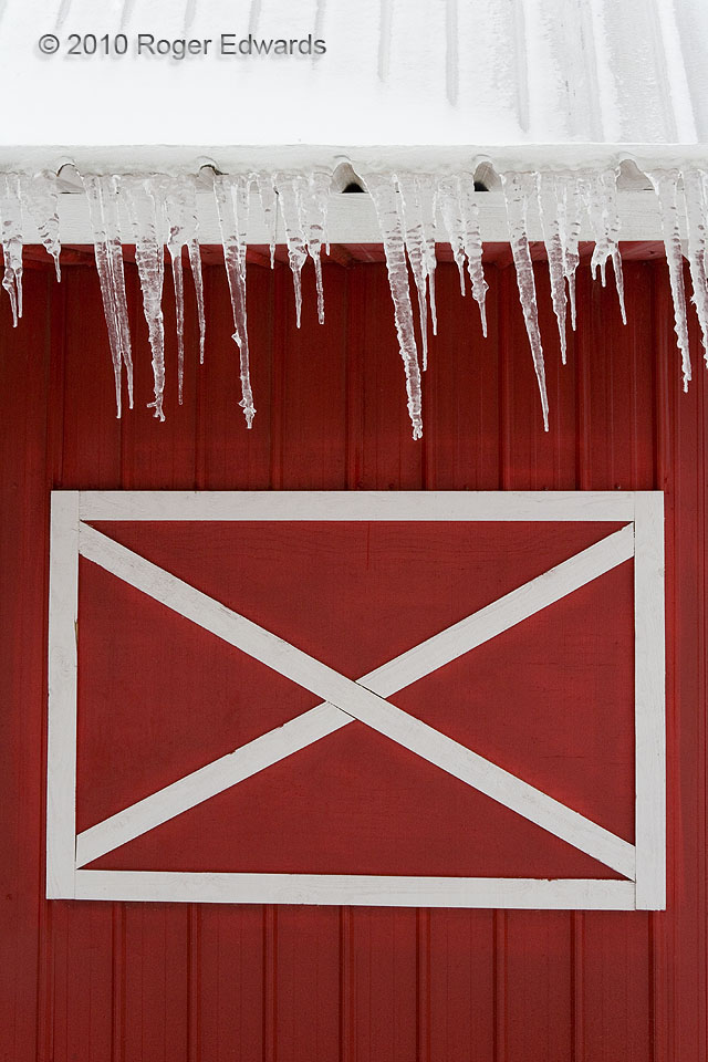
Barn Ice
Snowmelt made icicles along the roof's edge of a classical red barn. The decided rightward tilt of the icicles had nothing to do with Oklahoma politics; instead it was a result of a steady northeasterly breeze deflecting westward across the north side of this building as the aqueous stalactites grew. Norman OK (31 Jan 10) Looking S 35.2325, -97.388 … [Read more...]
Sparkling Twilight Supercell
As the fourth of at least five Colorado supercells to march roughly up I-76 on this amazing storm-observing evening, this may have been the most gloriously gaudy of the series. During the photographically enchanting "blue hour" of twilight, the highly electrified Colorado storm surfed an outflow path left by its predecessors storm, flashing its own tones across the land and sky. The … [Read more...]
Golden Hour at Grand River Grassland
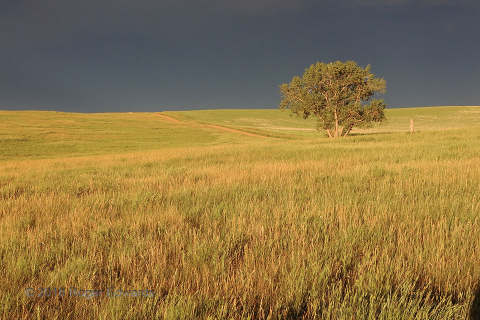
Rolling shortgrass prairie carpeting the northern High Plains is illuminated in a golden hue that naturally deepens the visual color saturation, behind a cluster of thunderstorms that deepens the illumination contrast of the scene. This was a "golden hour" not only for photographic light, but for experiential immersion in the gentle majesty of the western Dakota grasslands. Rain-cooled air … [Read more...]
- « Previous Page
- 1
- …
- 257
- 258
- 259
- 260
- 261
- …
- 413
- Next Page »
