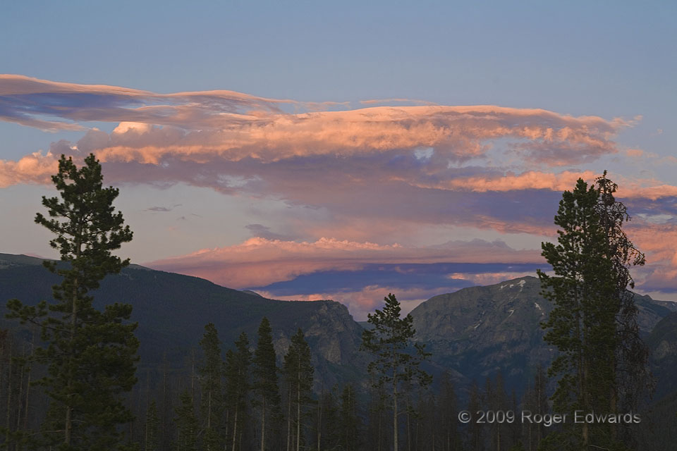
What a fine way to wind down a day of fishing and hiking in the mountains. Back at our lodging, I just had fired up the grill to cook some trout we had caught. Lo and behold, a band of altocumulus and altostratus streamers to the east, with thin elements of asperatus, brightened up in reflecting in the last rays of the day, directly over the lofty granite crags of Rocky Mountain National … [Read more...]
Surf Silhouette: Blue Heron
Ever vigilant for an opportunistic seafood meal, a young blue heron patiently scans the Sanibel surf for the sudden appearance of wave-tossed fish or crab, within ready reach. One of my favorite scenes on all this Earth is the simple twinkling of wave-reflected sunshine at the seashore, in this instance made even more meaningful by the sinuous silhouette of a canny avian hunter. Sanibel FL (9 Nov … [Read more...]
Patricia Keeps Dancin’
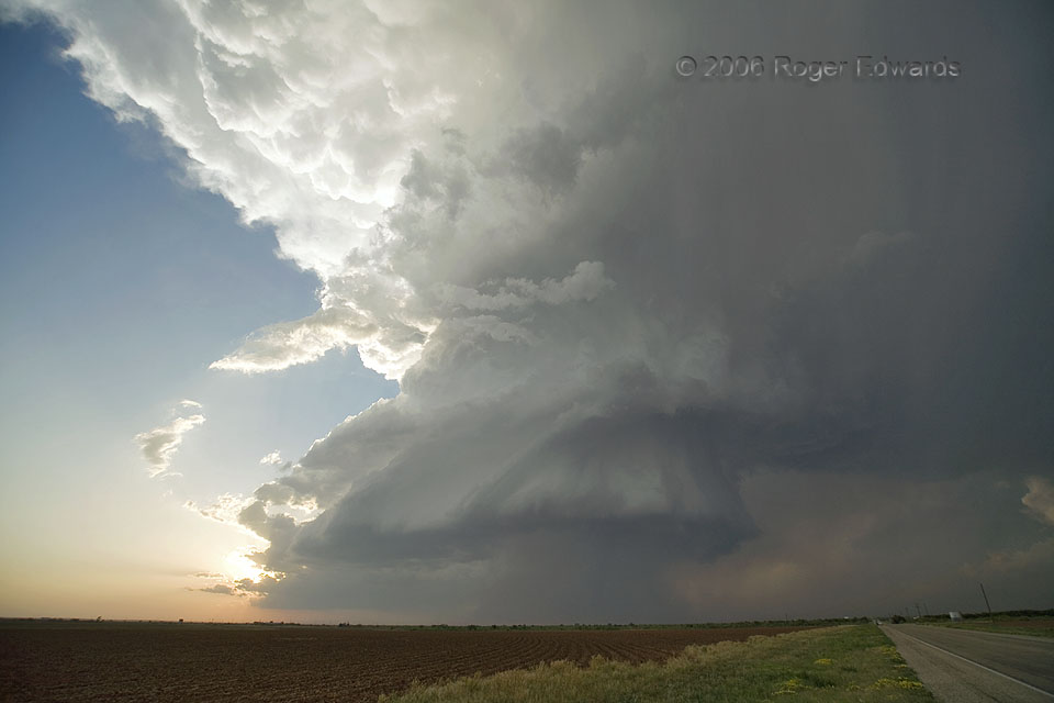
The magnificent "Patricia" supercell kept twirling toward the ESE across the southwest Texas sky, past the setting sun, putting on an exhibit of atmospheric splendor seldom rivaled and never to be forgotten. The show still hadn't revealed its grand finale to us either. We didn't know it yet, but there was a tornado underway inside that rain. Look very closely in the middle-right portion of the … [Read more...]
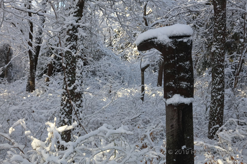
Give Winter the Boot
A sort-lived, sticky, wet, drippy snow accumulation left its winter-wonderland impressions for just a few hours before melting. Ranchers sometimes put boots on fence posts to honor a fallen horse, ranch hand or friend, to protect the top of the post from rot, or just for fun. Whatever the reason for its placement, this petite old boot that barely, tightly fit on the post—determined to be a … [Read more...]
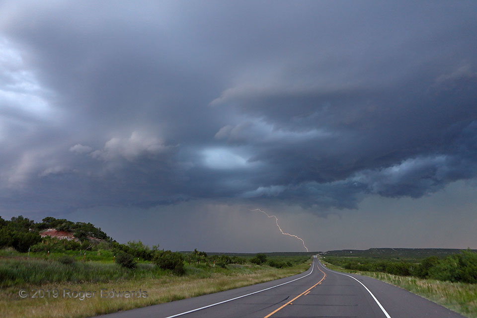
Stormy Travel
Looking westbound at this menacingly beautiful sky, travelers wisely should choose to turn around and find shelter to the east again until the storm passes. This tempestuous rolling blockade was loaded with severe wind, lightning, heavy rain, and sporadic hail. In an unusually wet year, and especially mid June following wildflower season, the lush greenery of northwest Texas' Permian redbed … [Read more...]
Eruption on the Prairie
What a splendid day. Knowing storms wouldn't be moving too fast, and that we could get back east of the dryline fairly quickly, we awaited development to our east, by hanging out in Badlands National Park. After hiking, doing photography and eating lunch at the nice restaurant there, we saw a line of storm towers erupt as if on cue. One of them grew very large, very fast. This storm … [Read more...]
- « Previous Page
- 1
- …
- 210
- 211
- 212
- 213
- 214
- …
- 413
- Next Page »
