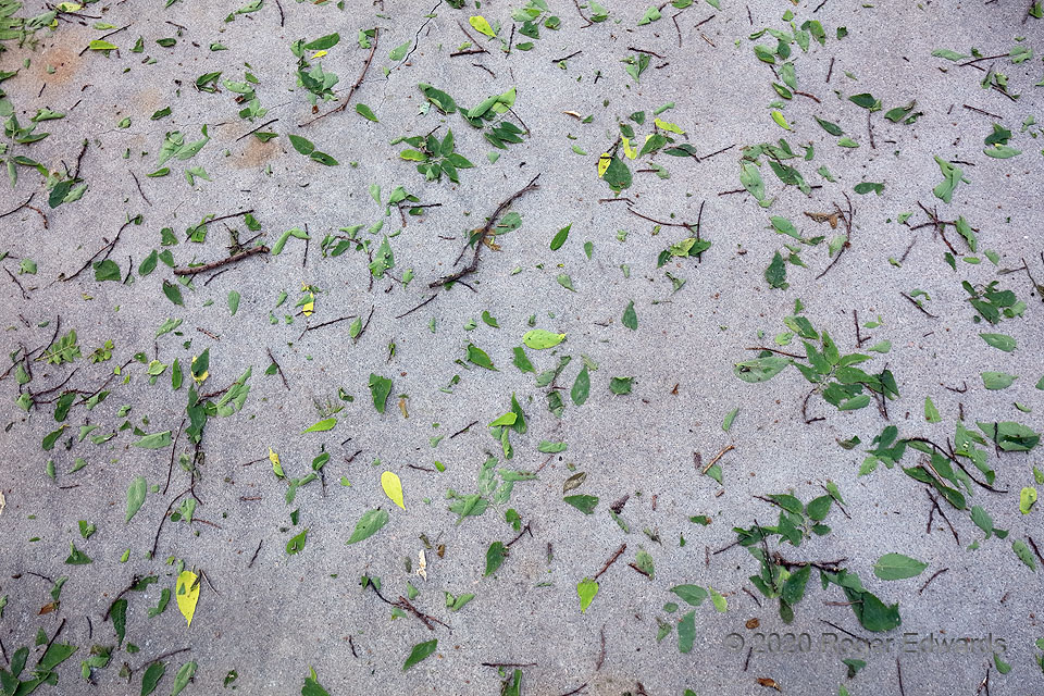
Pieces of trees litter a camping/picnic pad the morning after an intense downburst struck Ord, containing measured severe gusts and marginally severe hail. The wind-driven hailstones shredded vegetation, including leaves and adjoining twigs in overhead trees. Though such effects are common after hailstorms, it's uncommon to see them the next morning basically as deposited, without being removed … [Read more...]
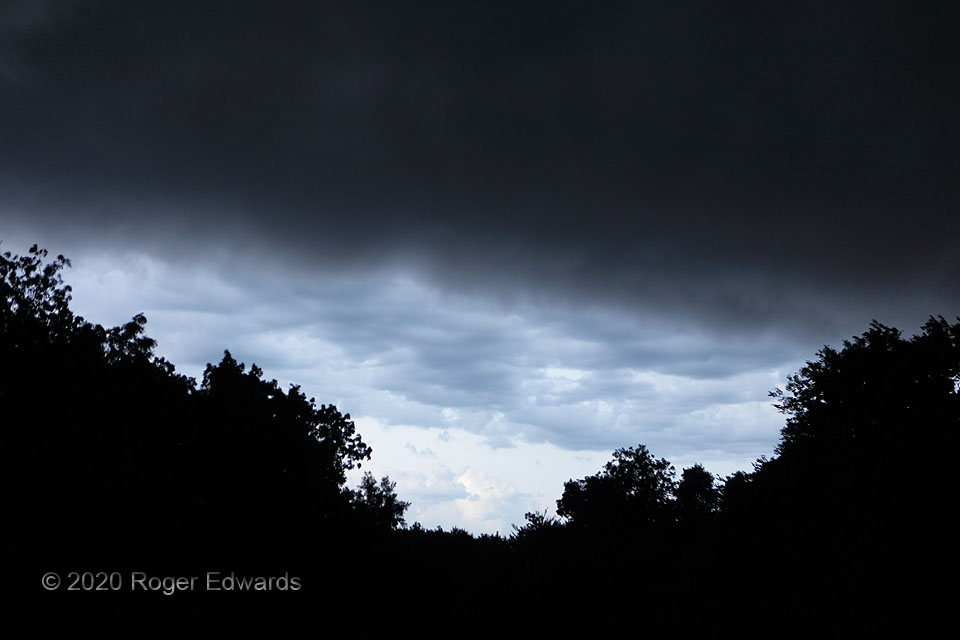
Shelfie Six Pack: Dark Back
[Part 6 of 6] Before departing the area, the outflow current and its shelf cloud had one more strange and interesting twilight view to give: a darkening base, made mysteriously menacing in appearance by virtue of an incomplete view through the trees. I deeply, innately enjoy this kind of ominous light on land and in the sky. The base was related to unseen convective towers getting very deep … [Read more...]
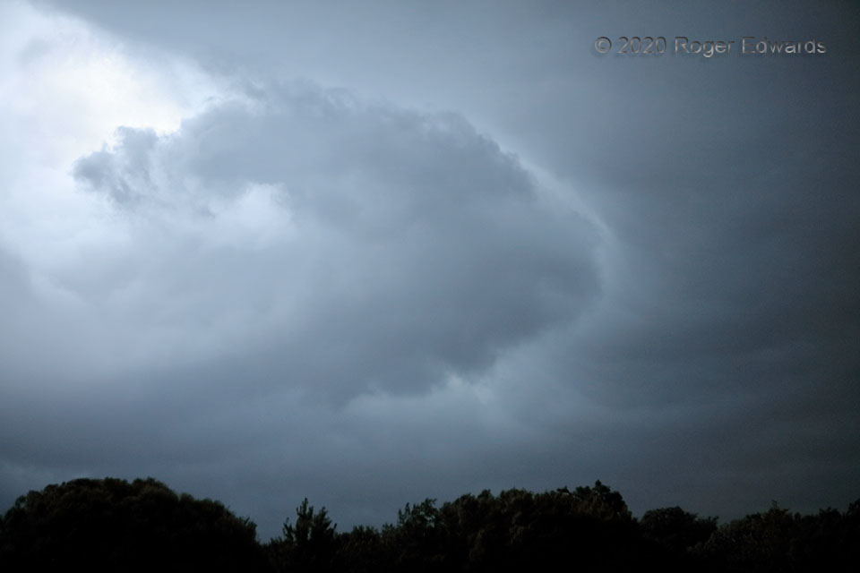
Shelfie Six Pack: Flying Formation
[Part 5 of 6] Following the fascinating interplay of light and shadow and illusions offered by a passing shelf cloud in the dim early twilight, this odd formation rose on a localized plume of lift, hoisting the underside of the arcus cloud material in its path along a sort of bow wave. This feature sailed swiftly southward (left to right) across the sky, and diffused itself within another minute … [Read more...]
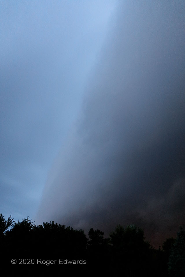
Shelfie Six Pack: The Shadow
[Part 4 of 6] After photographically masquerading as a tornado, a morning blue-hour shelf cloud zoomed past, casting a strong shadow in the dim early light, twilight exaggerating the difference in brightness across its edge. Though seldom seen because I'm usually asleep or at work at this hour, morning pre-sunrise arcus formations can produce one of my very favorite lighting effects in all the … [Read more...]
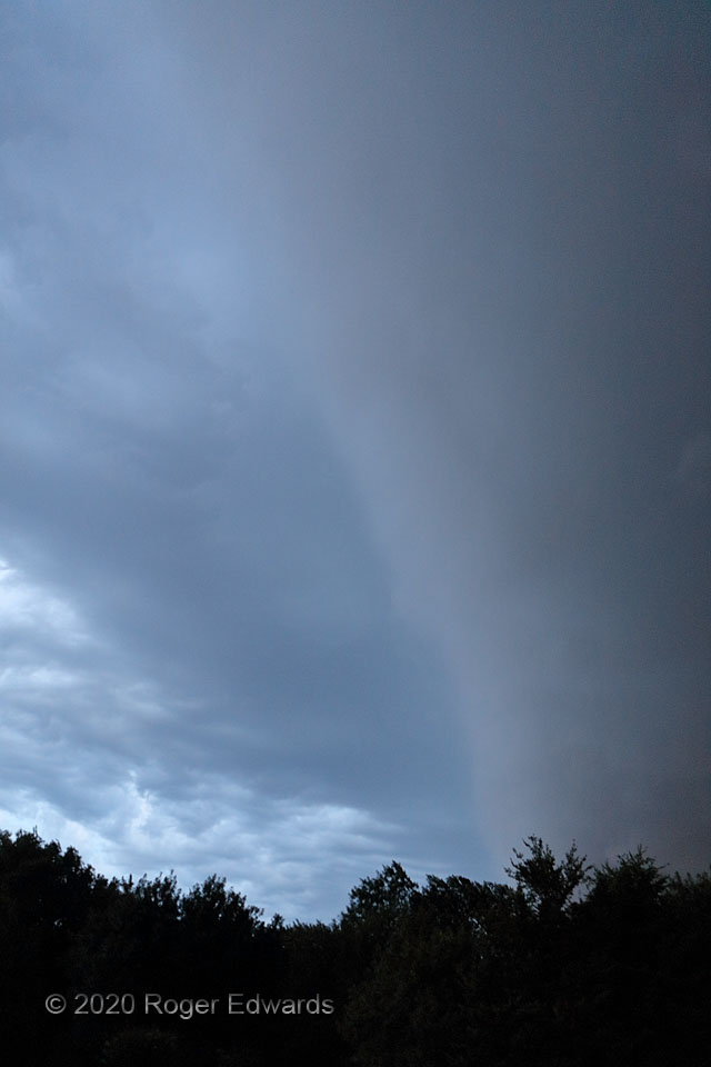
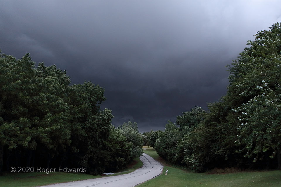
Shelfie Six Pack: Pseudo-Tornado
[Part 3 of 6] To the unititiated, and viewed entirely out of context, the right portion of this scene could look like one of ominous, imminent, extreme danger: one side of a very close, large tornado, churning along right behind the trees in the dim twilight. It's just an illusion! Instead, it's a shelf cloud moving overhead, lower in elevation than the midlevel cloud deck on the left side. … [Read more...]
Shelfie Six Pack: Eerie Sky
[Part 2 of 6] The blue-hour arcus cloud, rushing out from the tail portion of a deep and well-organized complex of thunderstorms to the north and northeast, pushed ahead rapidly in the morning twilight, yielding this strange, otherworldly appearance. With natural light still somewhat scarce, faint Norman city light to the west imparted a peculiar reddish hue to a bit of the shelf cloud's … [Read more...]
- « Previous Page
- 1
- …
- 162
- 163
- 164
- 165
- 166
- …
- 413
- Next Page »