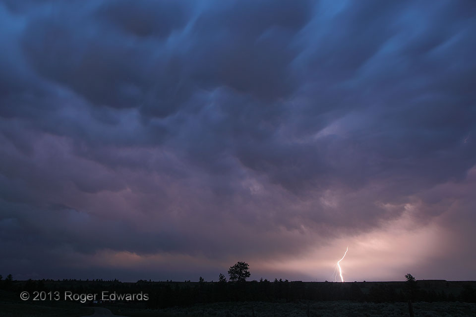
A productive day for daytime storm-cloud and lightning photography in central Montana came to a close with a wonderful show of lightning flashes on the rear side of a retreating convective complex near Roundup. The reddish tones of the in-cloud lightning intermingled with the barely-visible blue light of deep twilight, and the texturing of the quickly moving mammatus. Meanwhile, the rich, … [Read more...]
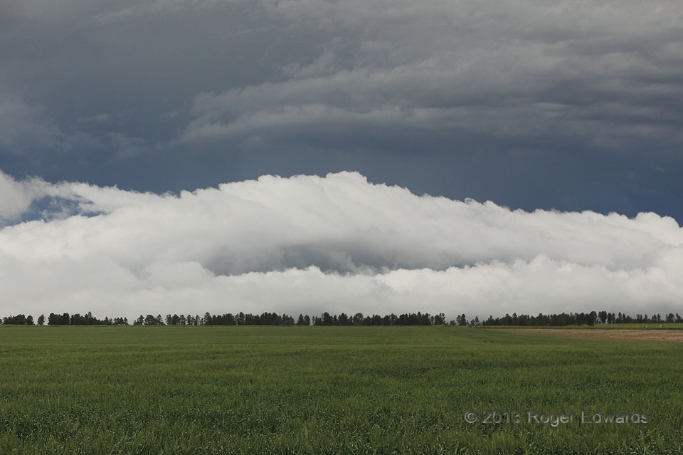
Roll Cloud Headed Upslope
Having risen south out of Chadron to stay ahead of a messy complex of severe thunderstorms, we awaited whatever visual treats the storms had to offer. Risen south? Yes! Though people often say "dropped south" in deference to mapping conventions, a sharp, forested escarpment rises south of town, Pine Ridge: the same feature that gives name to the tribal reservation in nearby South Dakota. … [Read more...]
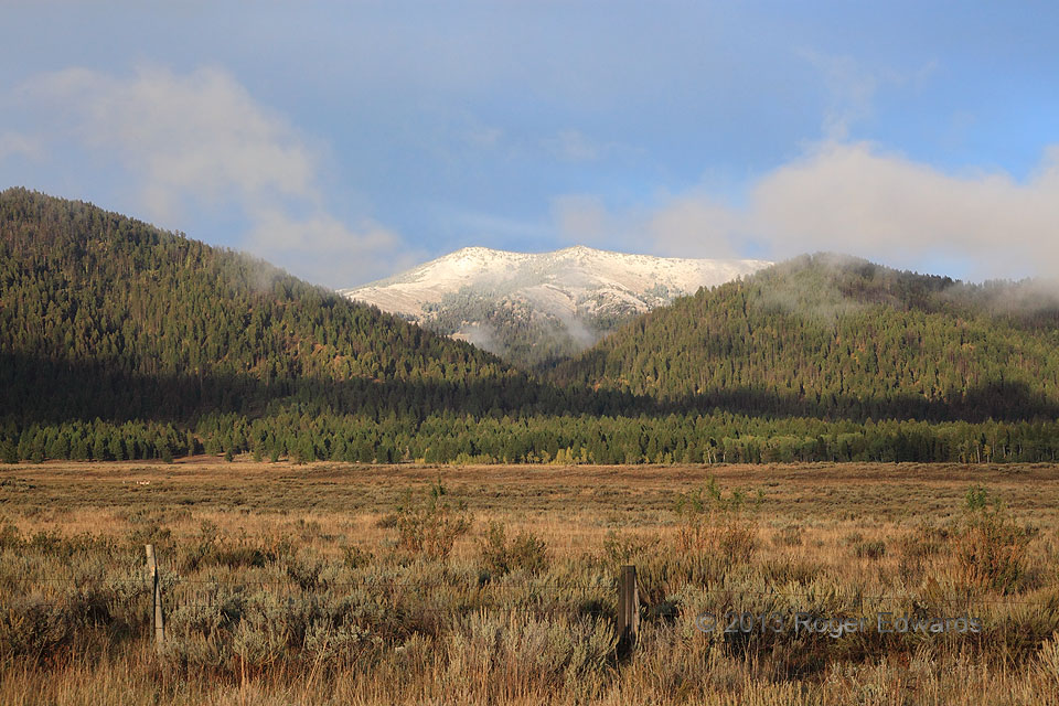
Moist Idaho Meadow
The freshly snow-capped western face of appropriately named Mt. Two Top, just inside Idaho from the Montana state line, stands out as backdrop to a soft brushing of fractocumulus clouds in the foothills' late-afternoon "golden hour". The cool, moist boundary layer of high-altitude outflow followed a nearly daylong series of showers and thunderstorms across this area, and eastward across the … [Read more...]
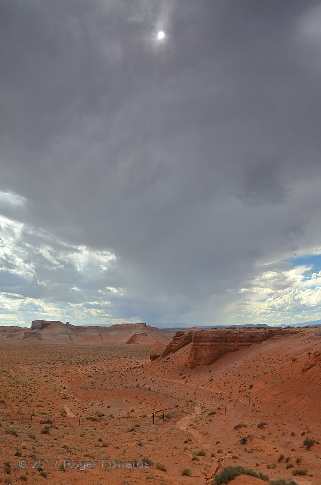
Sun through Anvil
Above a deep desert wash in southeastern Utah, a cumulonimbus' anvil spread eastward, blocking out a great deal of sunshine, but for a thin patch allowing the sun itself. Despite the anvil's thickness otherwise, the storm that produced it wouldn't offer a valley-deepening flash flood here; it already was weakening, and soon would devolve to a patch of remnant high clouds wafting toward the … [Read more...]
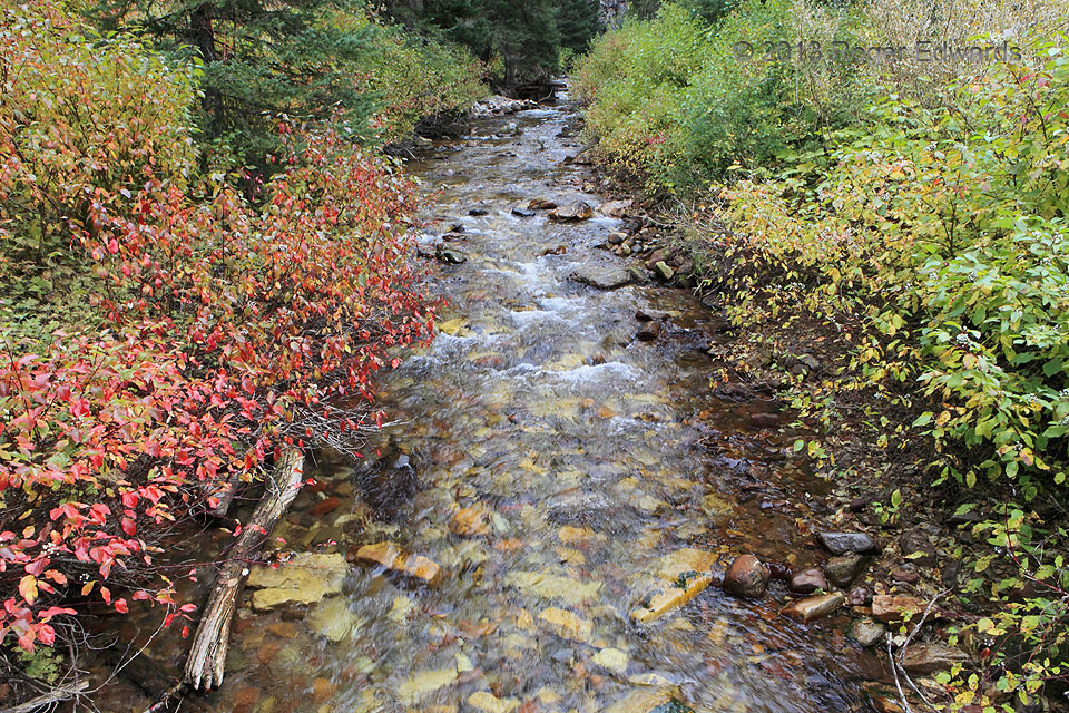
Autumn Along Swift Creek
Aptly named Swift Creek rushes through its namesake canyon in the Salt River Range, draining a small part of western Wyoming's high country, rendering a beautiful, placid scene with its gaudy clothing of autumnal colors. Off the well-trodden tourism paths, but still readily accessible by road and foot, still reside some gems of the West. This area certainly is one. 3 ENE Afton WY (22 Sep 13) … [Read more...]
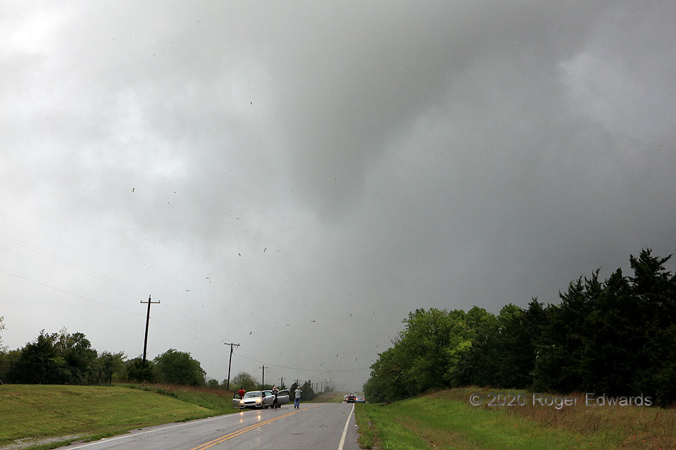
Whirling past Wapanucka, Part 4
[Part 4 of 4] There's a lot to unpack and interpret here. After narrowing and becoming a fuzzy, barely condensed vortex, the Wapanucka (Bromide) tornado approached closer, compelling my moving to the next hilltop south, where a safe pullout was available. The tornado narrowed further, but formed a clearly defined condensation cone above the ground. The circulation's base struck a … [Read more...]
- « Previous Page
- 1
- …
- 147
- 148
- 149
- 150
- 151
- …
- 386
- Next Page »
