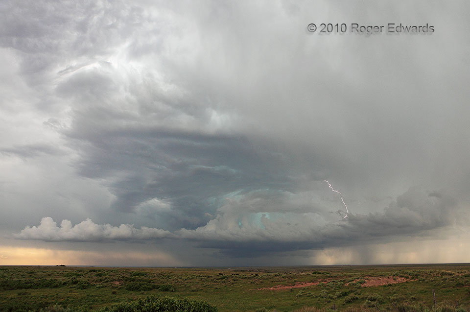
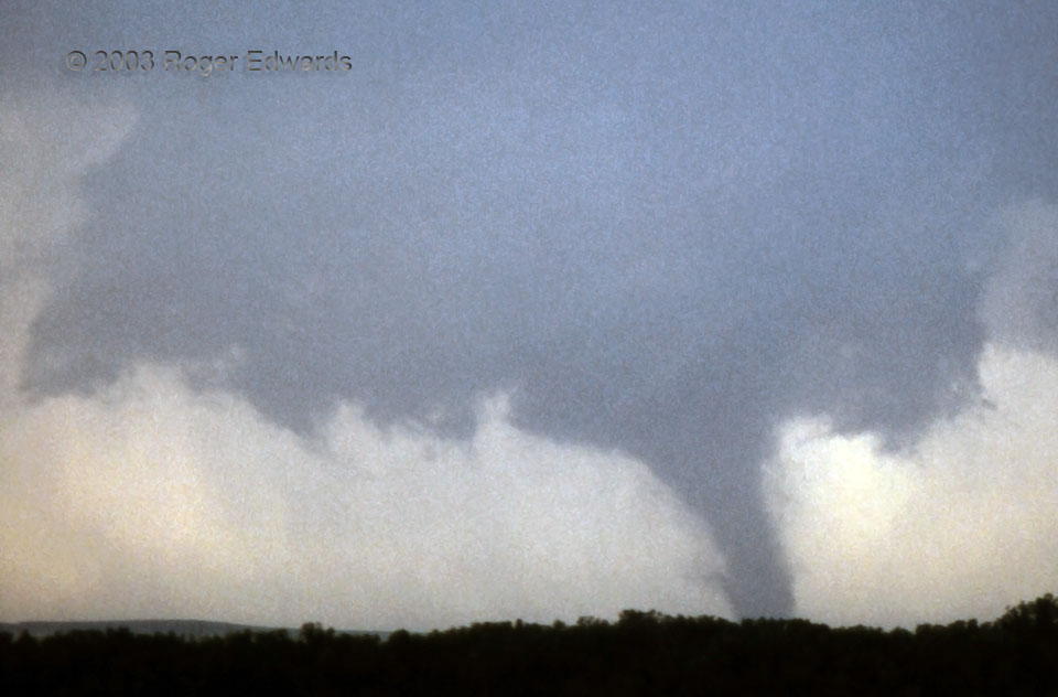
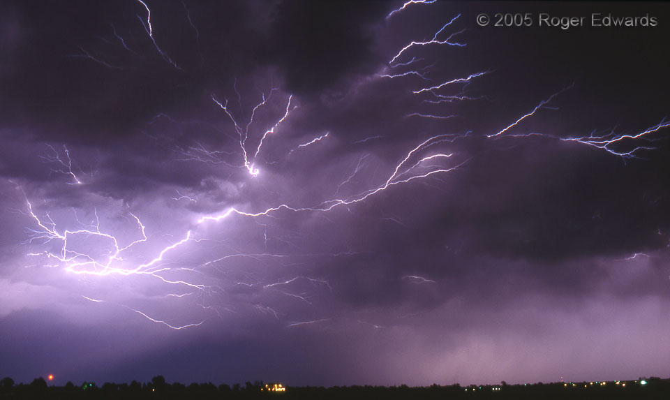
This charming little supercell had looked potentially very severe from the distance, during its early lifespan, as seen from our northwestern approach via Clayton, NM. However, as we wheeled around in front of it, the storm got walloped. A big surge of outflow from a separate storm complex to the south crashed into the supercell, weakening it. Still, the supercell's remains offered a beautiful … [Read more...]
Montana Tiers
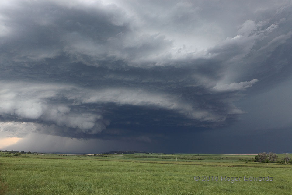
Multiple decks of cloud base festooned a strangely sculpted supercell over the High Plains of central Montana, north of the Judith Range. This magnificent storm surfed its own outflow for several hours, producing a swath of severe hail and wind, and on a couple occasions when that outflow wasn’t surging as fast, very nearly a tornado. 5 WNW Brooks MT (10 Jun 16) Looking WNW 47.2265, -109.535 … [Read more...]
What the Dickens
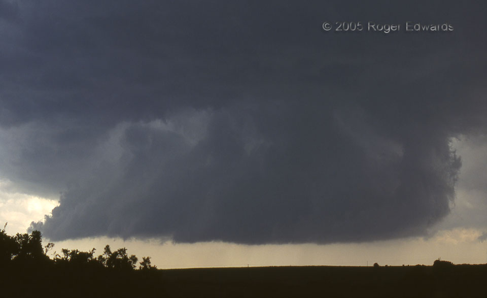
Quite large and long lived, this fat, low-slung wall cloud broadly rotated, but never could tighten its circulation to tornadic dimensions. We eventually transected the south rim of this feature and noted only weak rear-flank downdraft (RFD) breezes and spits of rain. More importantly, getting west of this storm (and of the entire line) allowed us eventually to notice and investigate a … [Read more...]
Hill City Hellion
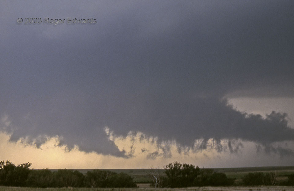
This looks like a very loose, ragged wall cloud, with a good deal of precipitation in the general vicinity. Actually, it was part of a tremendously well organized circulation, about to produce a tornado. The scuddy bottom of the tail cloud—racing right to left, from rain-cooled toward warm air—had some of the fastest horizontal cloud motions I had ever seen, much stronger than would be expected … [Read more...]
Hill City Tornado
From the left (SE) side of a ferociously turbulent wall cloud, this classical looking tornado formed, wrapping in and out of dense rain curtains, clearly visible to me only for about half its 28 minute lifespan. Light conditions were dark and contrast poor, as often is the case under huge and rainy supercells, but I did manage to get a couple of passable shots of the vortex before it fattened and … [Read more...]
Anvil Crawlers
What had been a rather unremarkable and short-distance storm observing trip by day turned unexpectedly spectacular by night, thanks to the merging of several multicell and weak supercell thunderstorms into a small but cohesive cluster. The lightning was sporadic on this evening, however, and often evaded my slide camera's open shutter. A few other equally grand displays either began or ended too … [Read more...]
- « Previous Page
- 1
- …
- 145
- 146
- 147
- 148
- 149
- …
- 386
- Next Page »
