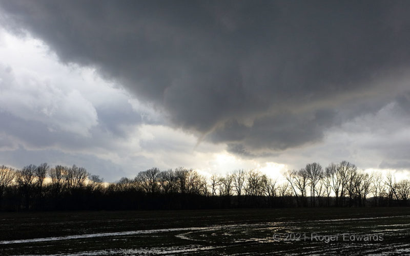
[Part 1 of 3] A small but somewhat persistent funnel cloud formed at the tip of a triangular wall cloud. Conveniently, it developed right as I pulled over at this relative flatland clearing—which isn't easy to find in a forested, hilly part of northeastern Oklahoma that more resembles Alabama. Perhaps that's fitting, since a song by the band Alabama was playing on the radio as this funnel twisted … [Read more...]
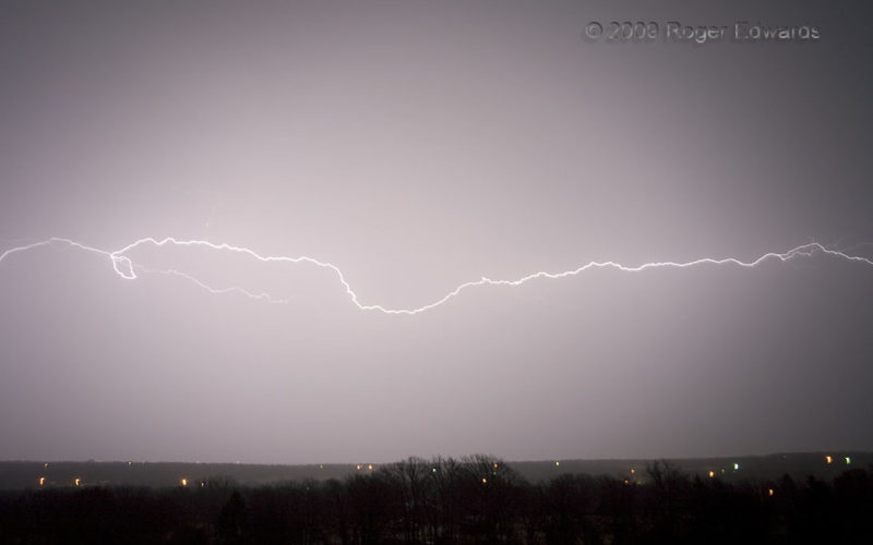
Long Horizontal Filament
The back end of a bow-echo- producing squall line roared past, leaving behind a trailing precipitation area that occasionally flung filaments and pulses of lightning for miles and miles, between one invisibly separated region of charge and a different one. Elegantly simple, yet intricately complex, this discharge seemed to stretch from one horizon to another, up and down the north-south length of … [Read more...]
Picnic Postponed
The fall 2009 deluges in northeastern Oklahoma didn't spare Fort Gibson Reservoir, which rose by about 15 feet and covered many lakeside recreational facilities, including this picnic area. I suppose, however, that some fish and crawdads may have had a fine feast on any small bits of edible detritus remaining under the table from its last uses before inundation. I should have strung up a … [Read more...]
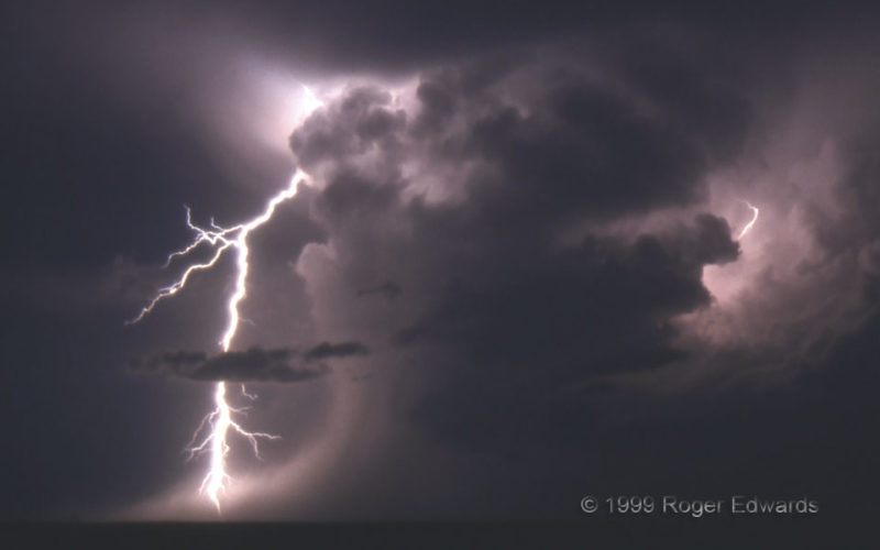
Microburst and CG
The CG (cloud-to-ground) lightning strike here either penetrated or hit just behind the telltale signature of a microburst: a flared, curving foot at the bottom edge of a precipitation core. No reports of significant damage came from this event, as it struck in a rather dry river valley populated mainly by scorpions, sand burs, switchgrass, and scrub brush. However, wet microbursts like this … [Read more...]
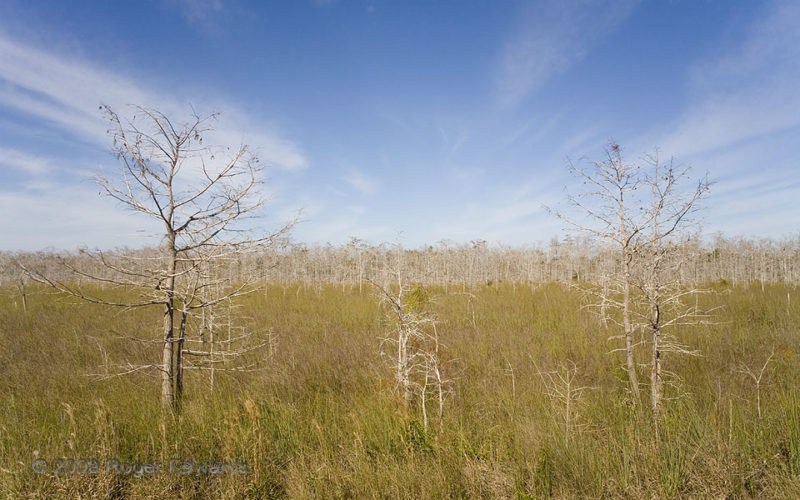
Cirrus over Dwarf Cypress Forest
A soft yet busy set of wintertime cirrus streamers shoot over one of the most remote parts of the Everglades accessible by foot, at the Pa-Hay-Okee (grassy waters) overlook. This is the dry season, when continental cold fronts lower both atmospheric moisture content and groundwater levels here through evaporation, and little rain falls. Stunted by poor, thin soil on rough rock surfaces, "dwarf" … [Read more...]
LeFors Revisited
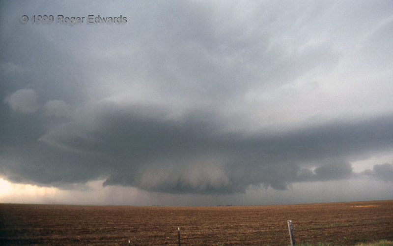
This wide-angle view of a very wet, classic supercell shows a wall cloud at lower middle, smooth accessory base above, tail cloud extending to the right, and a dense precipitation core to its rear. That rear area later would drop huge hail around 4 inches in diameter on some other chasers. Rapid rotation in the lower center portion teased tornadic potential; but outflow soon undercut the … [Read more...]
- « Previous Page
- 1
- …
- 133
- 134
- 135
- 136
- 137
- …
- 413
- Next Page »
