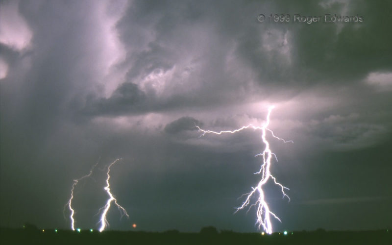
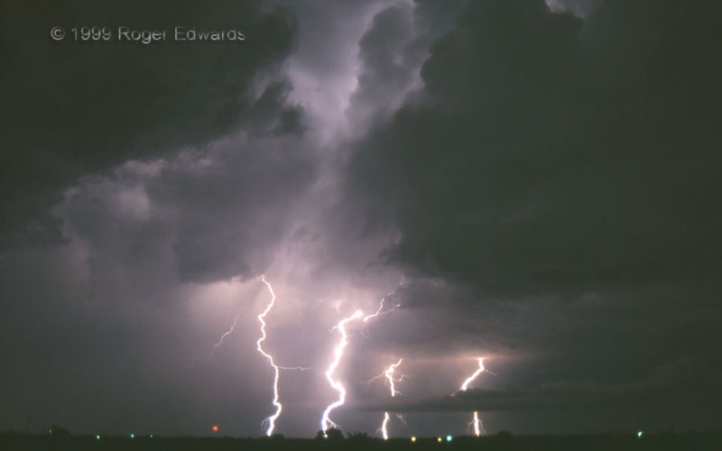
Late night, on the way home from a forecast shift, featured an elevated multicell storm cluster flashing furiously, hurling forked cloud-to-ground strokes across the semi-rural square miles of east Norman. It was well worth the stop, not only to observe and photograph, but to listen. Sound took many seconds to cross the miles, rendering anticipation after each flurry of flashes for the … [Read more...]
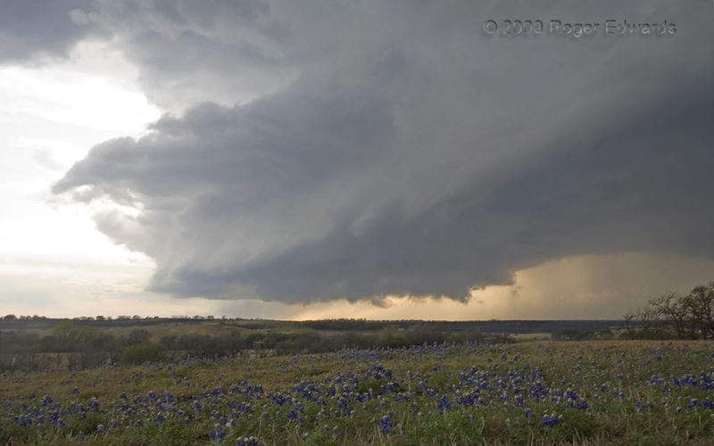
Supercell behind Bluebonnets
Rarely does a North Texas HP Stormzilla shed much of its intense precipitation field and revert back to a more classical supercell form. This one did, giving us a great backdrop to a little hillside field of bluebonnets, the state flower. Intermittent, ragged wall clouds and areas of broad rotation appeared under the base, but never anything sufficiently tight or well-organized to give me cause … [Read more...]
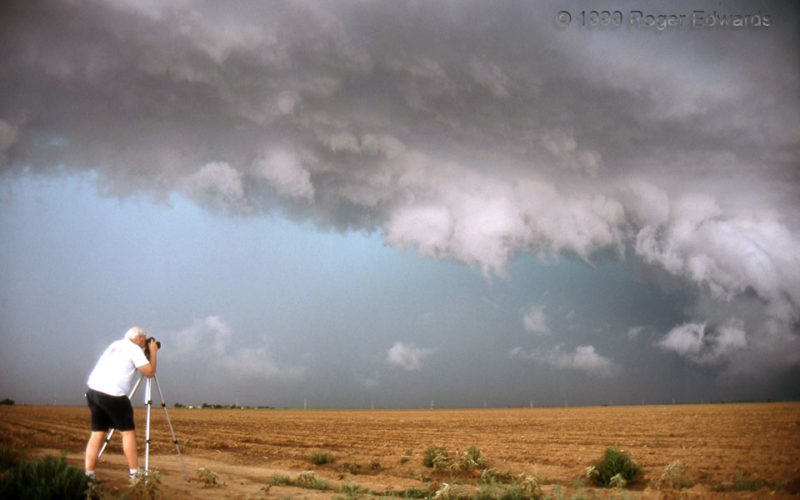
Chuck and a Green Core
The greenish core of a menacing HP (heavy-precipitation) supercell looms over the Texas High Plains, behind a ragged arcus cloud fronting the rear-flank core. To the right, a rotating wall cloud wraps up in a front-flank outflow notch. I almost never include people in shots on purpose, but an exception was worthwhile here. To the left, renowned storm observer and atmospheric scientist Dr. Chuck … [Read more...]
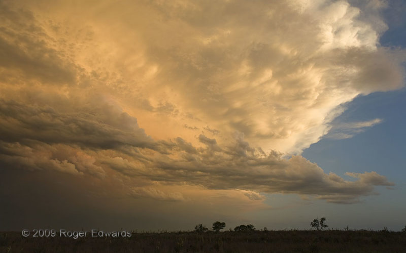
Sunset Sky Seeing Southward
The most photogenic and inspiring part of many a storm-observing day is after the storms have peaked and moved on: sunset time. Wildly wonderful to the west and easy on the eyes to the east, the sky was simply soothing to the south too, where backsheared anvil material and its mammatus, along with scuddy fractus clouds and midlevel altocumuli below, caught varying brilliances and tones of the … [Read more...]
Illuminated Multicell Structures
As often happens, this multicell thunderstorm began shooting lightning strokes every which way, out of the region where two cells interacted. One cell, just off the photo at left, was a prolific sparker in its own right; and the other created the big precipitation core in the middle to right background. New towers erupted over the boundary between the outflow of the two cells—the roll cloud at … [Read more...]
Memphis Rainbow
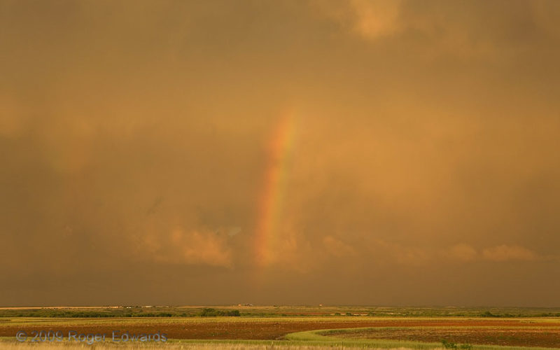
Rainbows right before sunset have the most vertical alignment possible from a ground-level view, but still are mildly tilted because of the sun's not being directly along or below the horizontal plane. [Contrast this with a mid-afternoon rainbow that is so tilted as to barely extend above the horizon.] The reddening of sunlight at this time of day, passing through nearly the longest possible … [Read more...]
- « Previous Page
- 1
- …
- 130
- 131
- 132
- 133
- 134
- …
- 413
- Next Page »
