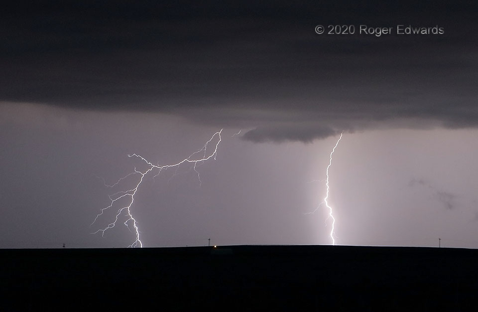
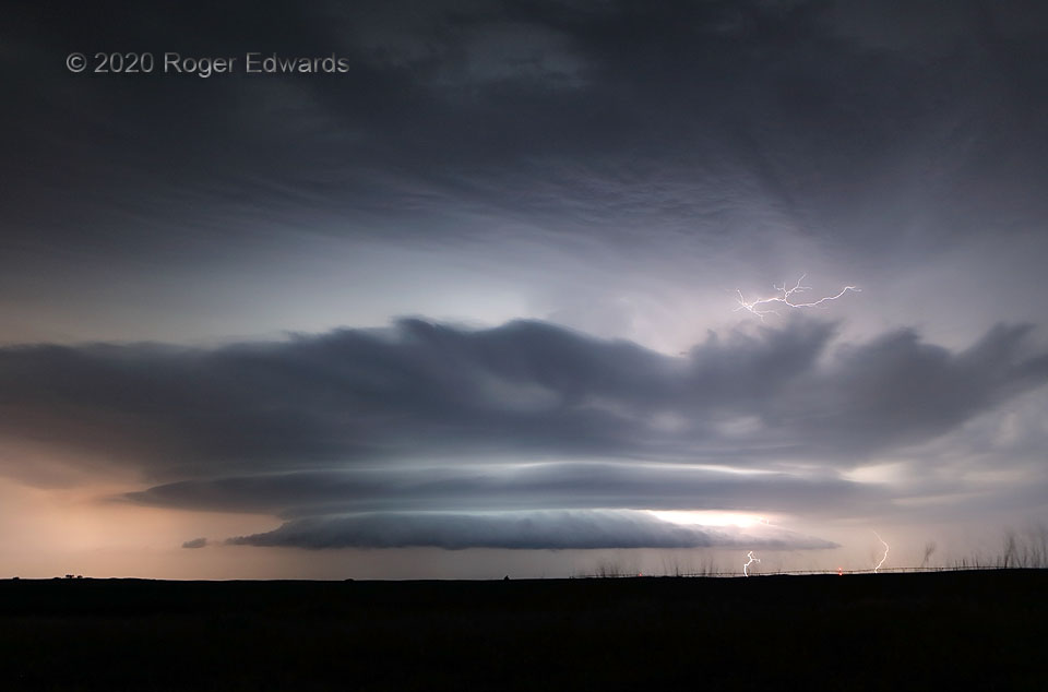
This is forked lightning, two strokes to be specific, from an electrically prolific thunderstorm near the New Mexico/Oklahoma line. Since I was still munching on some fast food picked up in Clayton, these were dinner forks. Am I wrong? 3 S Seneca NM (2 Aug 20) Looking NNE 36.5838, -103.1267 … [Read more...]
4-Layer Outflow Cake
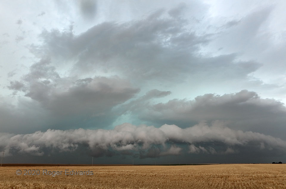
Many thunderstorm complexes with deep cold pools produce tiered shelf formations on their leading edges, especially when impinging on a boundary layer that is stabilizing with the loss of afternoon solar heating. It's not very common to see four such layers, however, extending well into the midlevels. They're easy to count, stacked one above the next. One even can argue a thin, partial fifth … [Read more...]
Barstow Blow
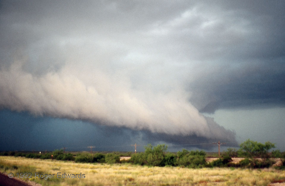
If this west Texas cloud formation resembles a snowplow to you, that's not entirely accidental. Both represent a heaver, denser mass (cold slab of outflow air, plow blade) lifting lighter material (warm inflow air, snow). Of course, here's where that superficial similarity ends: the snow ultimately falls aside, whereas the inflow air rises to form the shelf cloud, then enters the storm's … [Read more...]
Lovin’ Lightning at the Lake
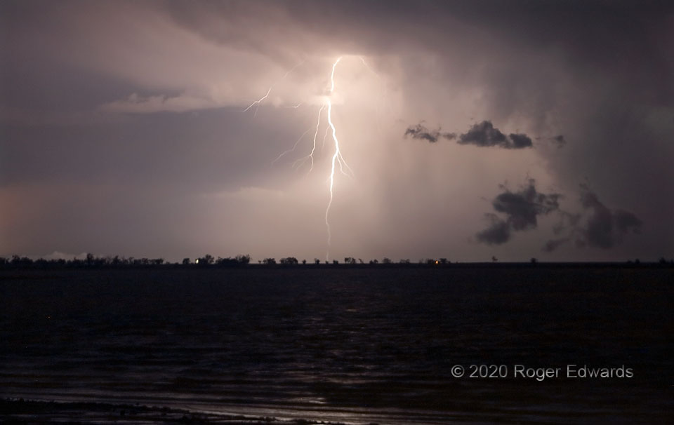
Following a grand structure and lightning show of a couple hours, the Ordway supercell merged with other convection that was developing nearby, evolving into a complex of thunderstorms that churned off to the southeast, destined for northeastern New Mexico and the Oklahoma and Texas Panhandles, while spitting sparks in and out of its rain cores. This tall stroke emanated from the upper reaches of … [Read more...]
Hurricane Hotel
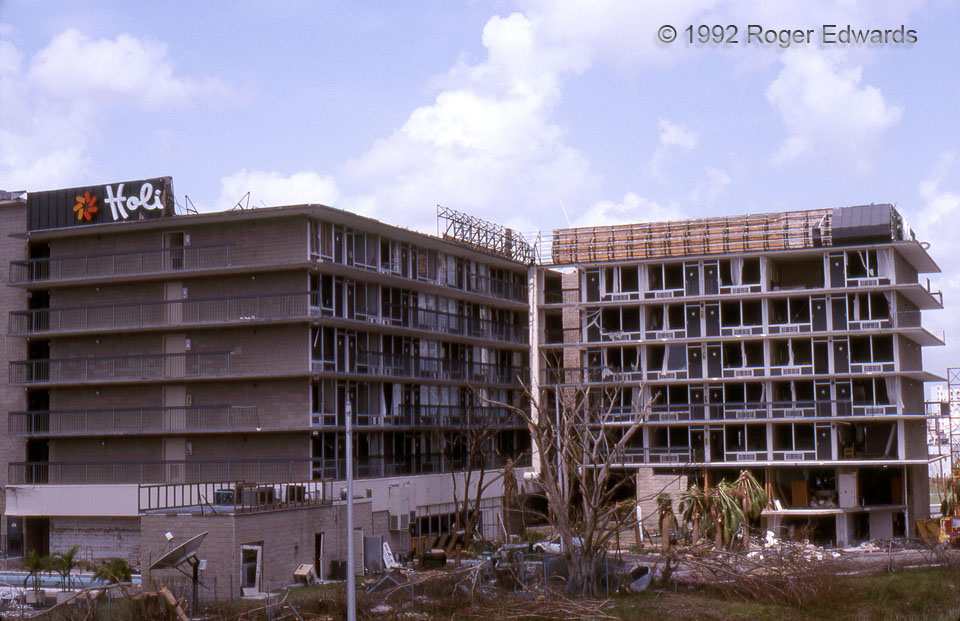
The former Holiday Inn, along the Turnpike north of Caribbean Blvd., posed for this slide with assorted doors, windows, cladding, and signage blown out and scattered to the two winds of the eyewall. Despite the ugly superficial damage, this steel-reinforced concrete edifice stayed structurally sound, and soon reopened for business. This building since has been a Best Western and now is a Motel … [Read more...]
Atmospheric Generator
The amazing Kinsley nighttime supercell, here shown in an early shot soon after I arrived at a good viewing spot, was the gift that kept on giving for keeping this storm observer awestruck. Fortunately grounded electricity stayed close to the visible updraft region or inside the core, so that this observer wasn't "lightning-struck". Much to my relief, it produced no anvil-to-ground bolts while … [Read more...]
- « Previous Page
- 1
- …
- 129
- 130
- 131
- 132
- 133
- …
- 386
- Next Page »
