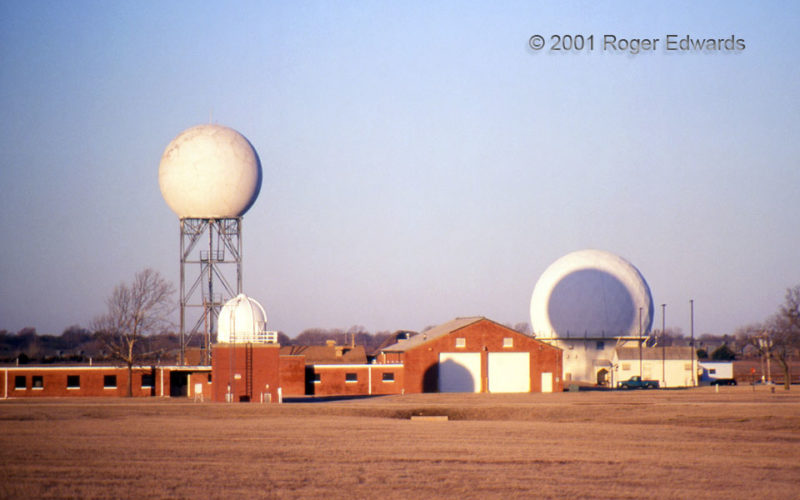
This photo cannot be shot again, by anyone. Before its demolition in 2002, the old NSSL Doppler building (right) delighted a few Norman-area photographers up to twice each winter (if no obscuring clouds) with its fortuitously annular positioning around the shadow cast by the NEXRAD test radome at left. The smaller domed structure below and in front of the NEXRAD tower was the balloon inflation … [Read more...]
Smoke over the Sangres
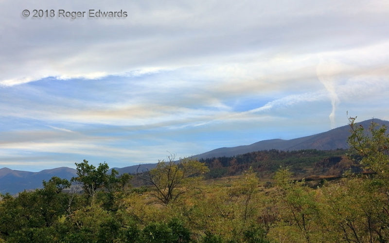
A fine fall morning in the Sangre de Cristo foothills dawned with smoke from previous days' fires far away, trapped in low- to middle-level inversions, well below the cirrus clouds and contrails decorating the skies above. Daytime heating and mixing would deepen the boundary layer later, stripping away the stable layers and dispersing the smoke they trapped. Until then, the combination … [Read more...]
Skeletal Asperatus
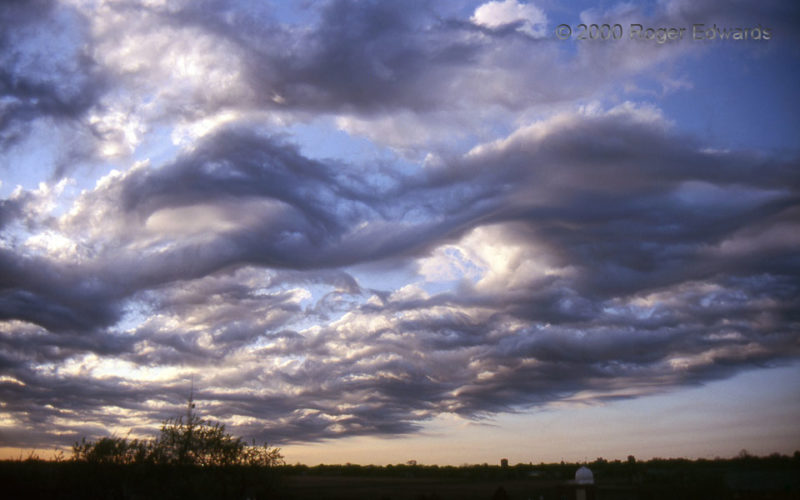
In the tidy world of published cloud atlases, every clump of atmospheric condensation fits perfectly in neat little named bins. But in the real sky, odd formations like this defy easy categorization! A field of altocumulus clouds moved overhead shortly after sunrise, in an environment of very steep lapse rates (a lot of middle level instability!), and fast flow. Short, castellanus-like towers … [Read more...]
Fog and Gulls
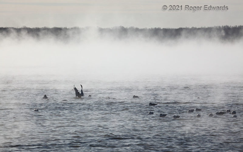
Though not my preferred conditions for visiting Fisherman's Point, this frigid winter scene nonetheless fascinated. A flock of gulls sought refuge from the bitter air on the lake surface, unaware that would freeze within 24 hours. This wasn't the typical method for forming sea fog, where warm and moist air advects over cold water, which lowers the temperature and condenses the moisture in the … [Read more...]
End of Day on Tampa Bay
What more wholly soothing outdoor experience can there be than a color-splashed convective sunset reflected across warm, quiet waters? This always is a welcomed way to end the day. 3 W Ruskin FL (7 Dec 1) Looking WSW 27.7303, -82.4774 … [Read more...]
Fluidity around Ice Knobs
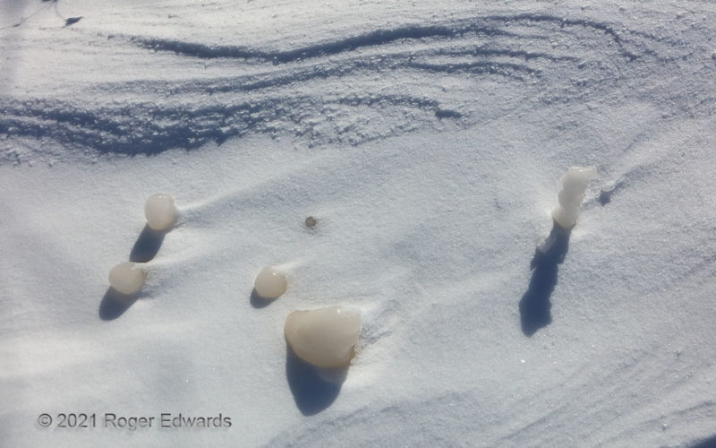
Dune-like sastrugi gathered at the top of the view, while icy knobs of murky lake water acted as obstacle-flow barriers to snow crystals being blown along the top of their layer. The knobs formed as wave action and spray wettened upward protrusions from the lakeshore and quickly froze in single-digit to subzero (Fahrenheit) cold. A light snowfall then covered the frozen lake surface, giving away … [Read more...]
- « Previous Page
- 1
- …
- 127
- 128
- 129
- 130
- 131
- …
- 413
- Next Page »
