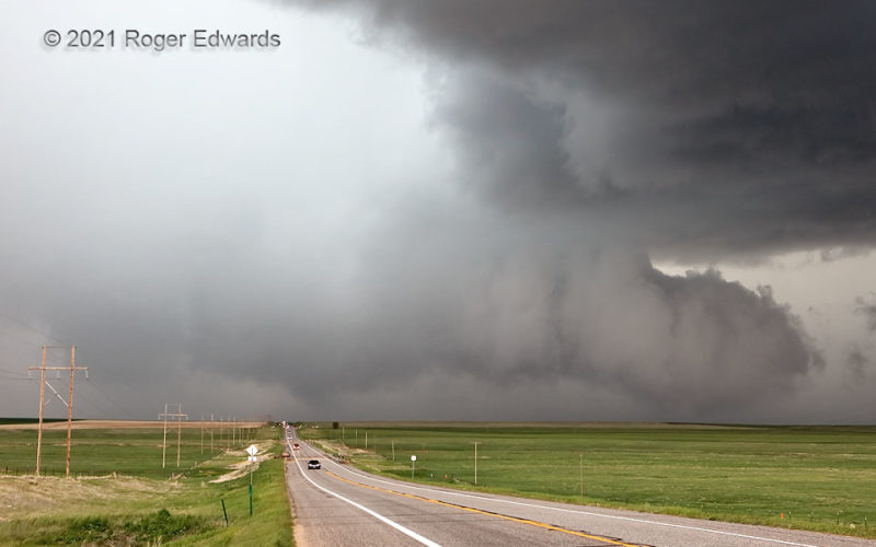
Even with decades of experience on hundreds of supercells, this was a challenging storm to spot well. After some messy mesocyclonic lowerings (but none I could say were tornadic with certainty) south-southwest of Last Chance, I had to zip up to the crossroads and head east, before the fast-moving mesocyclone and any potential cyclic successor(s) could cut off the turn option. Looking back in the … [Read more...]
Snyder Multivortex: Last View
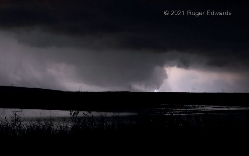
[Part 2 of 2] Although I have good low-light vision and could see the tornado fairly well, it only had a few distant lightning flashes behind it, in the forward-flank core, to silhouette the features enough for shooting. This was the second and last such opportunity, zoomed in a bit compared to the first shot, before hook-echo precipitation thickened and wrapped around the mesocyclone between me … [Read more...]
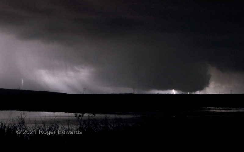
Snyder Multivortex in the Dark
[Part 1 of 2] This multiple-vortex circulation, partly silhouetted by distant cloud-to-ground flashes, was the fourth and final tornado from this autumnal supercell. It also was the third I photographed, with the other one being brief, while I was driving. A short-lived but well-defined cone tornado south of US-62 shortly preceded this one. This tornado started out as a faintly visible, slim … [Read more...]
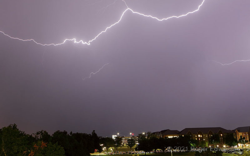
Charged Path Aloft
Only a few inches wide, a filament of current-conducting plasma known as lightning illuminates sky and earth for many miles around. High, horizontal discharges like this frequently occur in the trailing precipitation area of convective complexes. I'm loath to use the term "stratiform" for this process, as is found in many description of this area of thunderstorms, because it is convective in … [Read more...]
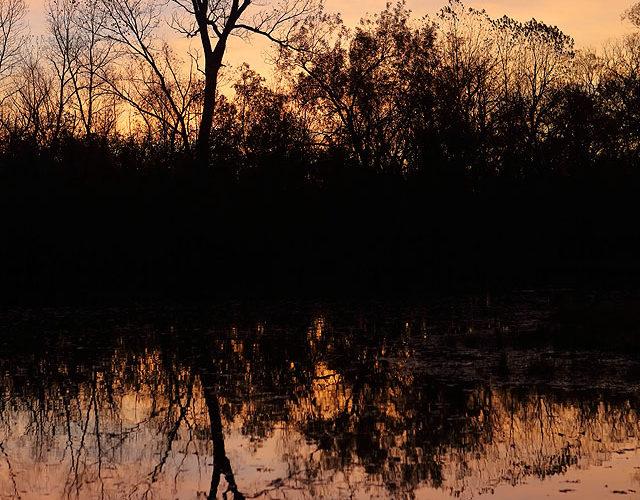
Sunrise Tree: Fall 2021
The opening Sunrise Tree scene for the cool season of 2021–22 arrived with leaves afloat on the pond, some still in the trees. The woods silhouetted a sunrise cloudscape textured with subtlety and not sharpness, where a large, fuzzy swath of variably thin cirrus caught first light and luxuriantly dappled the sky. It was a moment evoking gratitude for its very presence, and for life as a whole, … [Read more...]
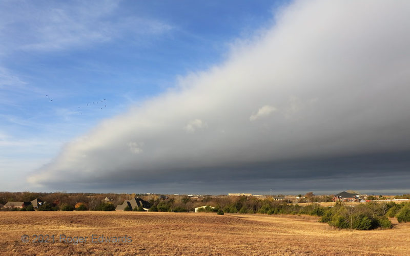
Frontal Arcus, Part 2
[Part 2 of 2] As the frontal arcus approached, of course it dominated more of the sky, flushing birds from their morning lair. Wind shift from southwesterly to northwesterly would arrive within less than a minute. The fundamental processes making this arcus are the same as a thunderstorm gust front, but for the source of the cold air: a synoptic cyclone instead of mesoscale to local-scale … [Read more...]
- « Previous Page
- 1
- …
- 106
- 107
- 108
- 109
- 110
- …
- 413
- Next Page »
