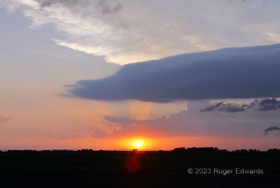
Outflow from two thunderstorm complexes already had settled in over the Edwards County region. That situaiton didn’t prevent yet another storm (an elevated supercell) from forming to the right (north) in the sunset hour. Its shelf cloud trailed far past the rear-flank updraft area, and can be seen here in the sky foreground, blocking part of some crepuscular rays and the anvil cirrus. One cliche goes something to the effect that history doesn’t repeat itself, but does rhyme. I saw a similar configuration of clouds at sunset just under 16 years before in the Texas South Plains. Within another hour after this shot, the supercell to the north would merge with other storms and evolve into a clustered area of convection, producing flooding and marvelous crawler lightning.
2 NE Kinsley KS (9 May 23) Looking WNW
37.9511, -99.3869
