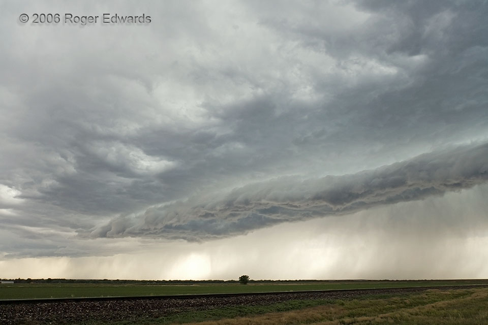
This high-based storm and its outflow chased us from south of Lusk, WY, across much of the Nebraska Panhandle, and eventually into northeast Colorado. When it still young, the storm’s cold downdraft winds hoisted a beautiful arcus cloud, shown here. After undercutting a small supercell near Scottsbluff, the gust front grew and strengthened, but remained photogenic for a little while. Soon, however, the outflow pool rammed into several other storms and enlarged, ultimately causing many reports of damaging wind over western Nebraska. We can claim the dubious distinction of having seen it from the very beginning.
2 W Morrill NE (10 Jun 6) Looking WSW
41.9649, -103.9639
