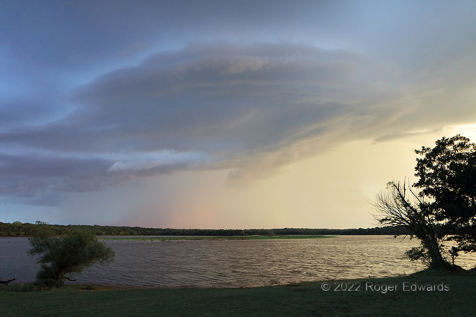
Following a beautiful sunrise, I made the short drive to the other side of the lake to watch a line of thunderstorms move in. Remarkably resembling that of a small supercell, a distinct updraft base decorated the front side of a broken squall line surging southeastward toward me. The perceived supercellular resemblance had some merit, as the cloud base slowly rotated, bringing to mind the mesocirculations that sometimes produce tornadoes in supercells, and sometimes even squall lines, or as they’re more commonly known in obscure meteorological jargon, quasi-linear convective systems (QLCS). This wasn’t going to produce a tornado, however, because it was elevated. How did I know? Easy! The decidedly colder gust front already had passed my location, ahead of the feature. Indeed, it soon dispersed into a broader, wavier shelf-like formation high above an even deeper receding cold pool.
4 W Little Axe OK (4 Sep 22) Looking NW
35.2296, -97.3021
