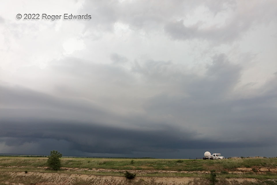
Mobile radar—positioned on a matching above-roadcut bluff across the highway from our position—scans a large, wet supercell soon to enter a major southern Flint Hills road void. This well-organized supercell earlier nearly produced a tornado over Arkansas City, but after that, got a rather wet and elongated cloud-base region, while maintaining strong midlevel organization. Soon it would lose our interest, in favor of the upshear storm whose anvil can be seen spreading into upper reaches of this one. We would stay ahead of the next storm coming right back toward this area, on the same highway.
4 S Dexter KS (31 May 22) Looking NW
37.1106, -96.7243
