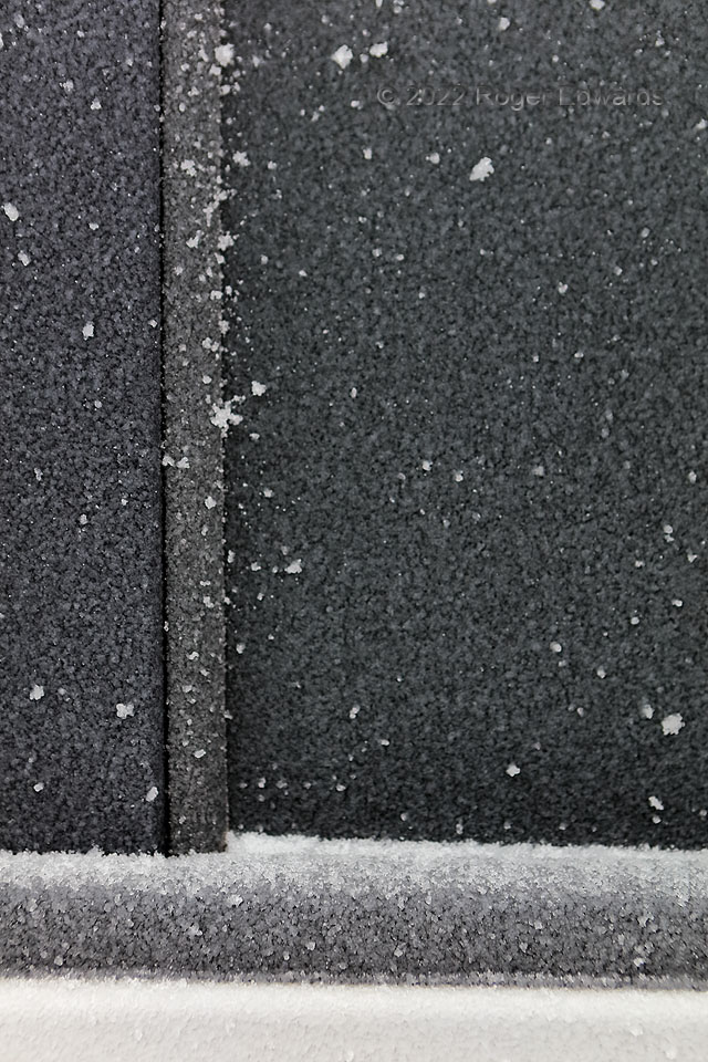
This was the result of the lighter second round of a two-day, two-episode, mostly sleet event for central Oklahoma. Behind a scene this seemingly dreary, fascinating precip-phase and coalescence processes played out! A few hours of freezing drizzle occurred, with a very brief, late and light episode of sleet, some of which stuck to the conterminously accreting ice layer. Unlike most sleet, which manifests as singular frozen raindrops (ice pellets), these sleet grains consisted of a mix of small frozen drops and irregularly shaped larger pieces. The latter were composed of several closely spaced frozen drops falling within ambient drizzle and small-drop liquid rain, in a sub-freezing air mass around 15 degrees F. Some sleet’s outer surfaces could wetten just long enough to bind together with others, making composite sleet chunks. This could have happened both in the air and on the surface, which was a north-facing vehicle window and frame with slight tilt off vertical, ideal for catching the windblown mix of precipitation.
Norman OK (24 Feb 22) Looking S
35.1826, -97.4396
