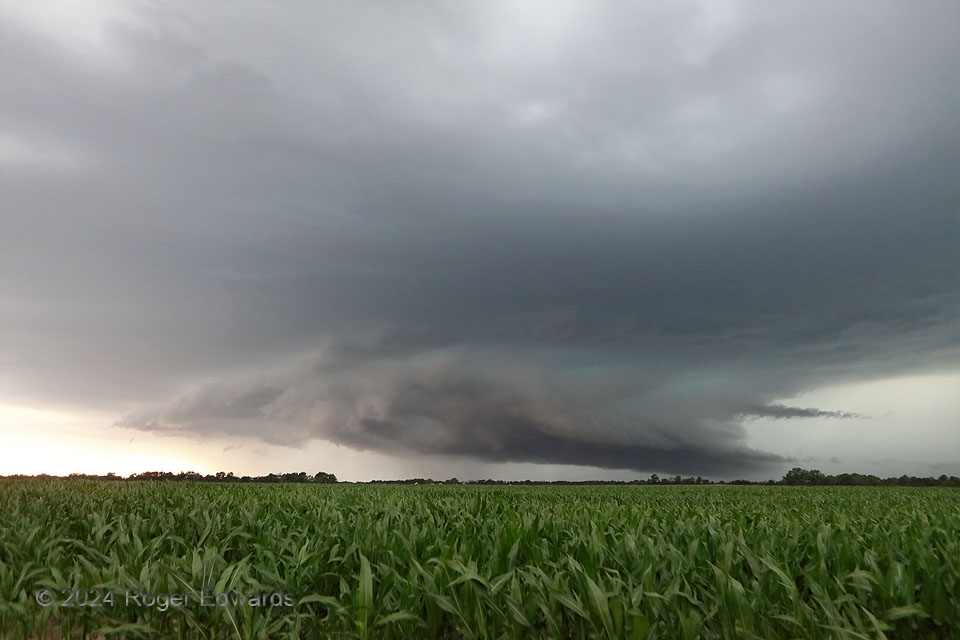
The corn wasn’t quite yet as “high as a man’s eye”, but was well on its way to producing harvestable ears when this southeastward-moving supercell came along to batter it with severe wind and hail. Crops in the Heartland depend on spring and summer rains to succeed, but often that rain arrives alongside damaging aspects of spring to early summer thunderstorms. The wall cloud with this supercell appeared to have a smoothed, somewhat elevated appearance, despite the visually low base. When I moved south and let it get closer, the reason was apparent: cool outflow to its east through south, including areas normally occupied by a surface inflow notch of a northwest-flow supercell.
2 NNE Shelbyville MO (13 Jun 24) Looking WNW
39.8312, -92.0318
